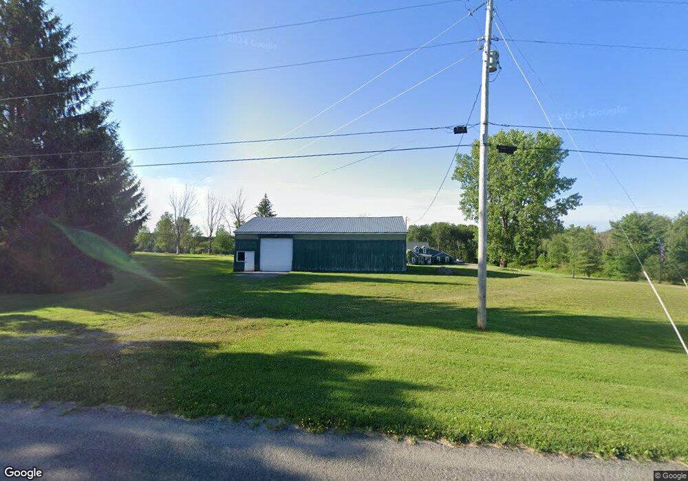
2600 Quance Rd McKean, PA 16426
Estimated Value: $218,000 - $263,000
3
Beds
1
Bath
2,310
Sq Ft
$106/Sq Ft
Est. Value
About This Home
This home is located at 2600 Quance Rd, McKean, PA 16426 and is currently estimated at $245,000, approximately $106 per square foot. 2600 Quance Rd is a home located in Erie County with nearby schools including McKean Elementary School, James W. Parker Middle School, and General McLane High School.
Ownership History
Date
Name
Owned For
Owner Type
Purchase Details
Closed on
Aug 9, 2022
Sold by
Englert Thomas E and Englert Nancy G
Bought by
Englert Thomas A
Current Estimated Value
Purchase Details
Closed on
Aug 28, 2018
Sold by
Laniewicz David John and Laniewicz Louise R
Bought by
Curry Bradley J
Home Financials for this Owner
Home Financials are based on the most recent Mortgage that was taken out on this home.
Original Mortgage
$95,200
Interest Rate
4.5%
Mortgage Type
New Conventional
Create a Home Valuation Report for This Property
The Home Valuation Report is an in-depth analysis detailing your home's value as well as a comparison with similar homes in the area
Home Values in the Area
Average Home Value in this Area
Purchase History
| Date | Buyer | Sale Price | Title Company |
|---|---|---|---|
| Englert Thomas A | -- | Rhodes David J | |
| Curry Bradley J | $11,900,000 | None Available |
Source: Public Records
Mortgage History
| Date | Status | Borrower | Loan Amount |
|---|---|---|---|
| Previous Owner | Curry Bradley J | $95,200 |
Source: Public Records
Tax History Compared to Growth
Tax History
| Year | Tax Paid | Tax Assessment Tax Assessment Total Assessment is a certain percentage of the fair market value that is determined by local assessors to be the total taxable value of land and additions on the property. | Land | Improvement |
|---|---|---|---|---|
| 2025 | $2,714 | $119,200 | $40,800 | $78,400 |
| 2024 | $2,628 | $119,200 | $40,800 | $78,400 |
| 2023 | $2,473 | $119,200 | $40,800 | $78,400 |
| 2022 | $2,402 | $119,200 | $40,800 | $78,400 |
| 2021 | $2,454 | $123,400 | $45,000 | $78,400 |
| 2020 | $2,424 | $123,400 | $45,000 | $78,400 |
| 2019 | $2,408 | $123,400 | $45,000 | $78,400 |
| 2018 | $2,356 | $123,400 | $45,000 | $78,400 |
| 2017 | $2,356 | $123,400 | $45,000 | $78,400 |
| 2016 | $2,771 | $123,400 | $45,000 | $78,400 |
| 2015 | $2,740 | $123,400 | $45,000 | $78,400 |
| 2014 | $1,334 | $123,400 | $45,000 | $78,400 |
Source: Public Records
Map
Nearby Homes
- 11396 Sharp Rd
- 0 Greenlee Rd
- 0 S Hill Rd
- 0 Sharp Rd Unit 185719
- 9790 Peach St
- 10050 Old Route 99
- 4919 Old State Rd
- 9735 Old Route 99
- 4817 Greenlee Rd
- 8719 Valley View Cir
- 9299 Peach St
- 10170 Tiger Lily Ln
- 2814 Dorn Rd
- 0 Leacock Rd
- 8720 Oriole Dr
- 8780 Evelyn Way
- 0 Flower Rd
- 8675 Oriole Dr
- 2880 Cardinal Dr Unit 34
- 8535 Oliver Rd
- 2550 Quance Rd
- 2580 Quance Rd
- 10538 Hamot Rd
- 2728 Quance Rd
- 2350 Quance Rd
- 10471 Hamot Rd
- 10460 Hamot Rd
- 2900 Quance Rd
- 2230 Quance Rd
- 2629 S Hill Rd
- 2200 Quance Rd
- 2687 S Hill Rd
- 2651 E Stancliff Rd
- 2120 Quance Rd
- 2391 E Stancliff Rd
- 2681 E Stancliff Rd
- 2110 Quance Rd
- 2630 S Hill Rd
- 2626 S Hill Rd
- 2724 S Hill Rd