2600 Ravineside Ln N Howell, MI 48843
Estimated Value: $389,012 - $422,000
--
Bed
3
Baths
1,648
Sq Ft
$247/Sq Ft
Est. Value
About This Home
This home is located at 2600 Ravineside Ln N, Howell, MI 48843 and is currently estimated at $407,753, approximately $247 per square foot. 2600 Ravineside Ln N is a home located in Livingston County with nearby schools including Northwest Elementary School, Highlander Way Middle School, and Howell High School.
Ownership History
Date
Name
Owned For
Owner Type
Purchase Details
Closed on
May 27, 2022
Sold by
Steven Medford
Bought by
Medford Steven L and Medford Kimberly A
Current Estimated Value
Home Financials for this Owner
Home Financials are based on the most recent Mortgage that was taken out on this home.
Original Mortgage
$157,000
Outstanding Balance
$149,163
Interest Rate
5.1%
Mortgage Type
New Conventional
Estimated Equity
$258,590
Purchase Details
Closed on
Nov 17, 2000
Sold by
Weatherly Douglas E and Weatherly Deborah L
Bought by
Davis Deborah
Purchase Details
Closed on
Sep 28, 1999
Sold by
Delcor Homes Lake Shore Pointe Ltd
Bought by
Weatherly Douglas E and Weatherly Deborah L
Home Financials for this Owner
Home Financials are based on the most recent Mortgage that was taken out on this home.
Original Mortgage
$191,900
Interest Rate
7.5%
Create a Home Valuation Report for This Property
The Home Valuation Report is an in-depth analysis detailing your home's value as well as a comparison with similar homes in the area
Home Values in the Area
Average Home Value in this Area
Purchase History
| Date | Buyer | Sale Price | Title Company |
|---|---|---|---|
| Medford Steven L | -- | None Listed On Document | |
| Davis Deborah | $232,780 | Select Title Company | |
| Weatherly Douglas E | $213,235 | -- |
Source: Public Records
Mortgage History
| Date | Status | Borrower | Loan Amount |
|---|---|---|---|
| Open | Medford Steven L | $157,000 | |
| Previous Owner | Weatherly Douglas E | $191,900 |
Source: Public Records
Tax History Compared to Growth
Tax History
| Year | Tax Paid | Tax Assessment Tax Assessment Total Assessment is a certain percentage of the fair market value that is determined by local assessors to be the total taxable value of land and additions on the property. | Land | Improvement |
|---|---|---|---|---|
| 2025 | $2,833 | $179,700 | $0 | $0 |
| 2024 | $1,815 | $175,300 | $0 | $0 |
| 2023 | $1,734 | $151,200 | $0 | $0 |
| 2022 | $864 | $130,100 | $0 | $0 |
| 2021 | $2,408 | $136,000 | $0 | $0 |
| 2020 | $2,432 | $130,100 | $0 | $0 |
| 2019 | $2,401 | $122,700 | $0 | $0 |
| 2018 | $2,423 | $118,000 | $0 | $0 |
| 2017 | $2,396 | $116,800 | $0 | $0 |
| 2016 | $2,380 | $108,300 | $0 | $0 |
| 2014 | $2,422 | $94,600 | $0 | $0 |
| 2012 | $2,422 | $91,500 | $0 | $0 |
Source: Public Records
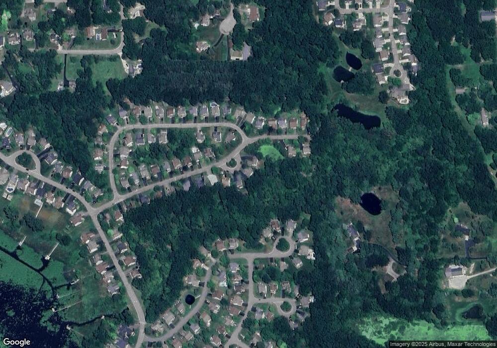
Map
Nearby Homes
- 928 Westwind Shore Dr
- 3020 Brookline
- 477 Chicago Dr
- 330 Harvard Dr
- Vac Harvard Dr
- VACANT LOT Thompson Shore Dr
- 1088 River Line Dr Unit 324
- 1471 Douglas Fir Ct
- 125 University Dr
- 2607 E Grand River Ave
- 2160 E Grand River Ave
- 2756 Turning Leaf Dr
- 1633 Frech Ln
- 100 Lucy Rd
- 2511 Kerria Dr Unit 42
- 734 E Grand River Ave
- 530 Cannonade Loop
- 709 E Clinton St
- 475 Cannonade Loop
- 559 Cannonade Loop
- 2600 Ravineside Ln N Unit 237
- 2608 Ravineside Ln N
- 2608 Ravine Side Ln N
- 2592 Ravineside Ln N Unit 238
- 2584 Ravineside Ln N Unit Bldg-Unit
- 2584 Ravineside Ln N Unit 239
- 2576 Ravineside Ln N Unit 240
- 2630 Hilltop Ln
- 2579 Ravineside Ln N Unit 235
- 2616 Hilltop Ln Unit 219
- 2568 Ravineside Ln N Unit 241
- 2670 Ravineside Ln N Unit 217
- 2653 Ravineside Ln N
- 2571 Ravineside Ln N
- 2661 Ravineside Ln N Unit 212
- 2600 Hilltop Ln Unit 220
- 2711 Ravineside Ln S Unit 143
- 2669 Ravineside Ln N Unit 213
- 2563 Ravineside Ln N Unit 233
- 2556 Ravineside Ln N Unit 242