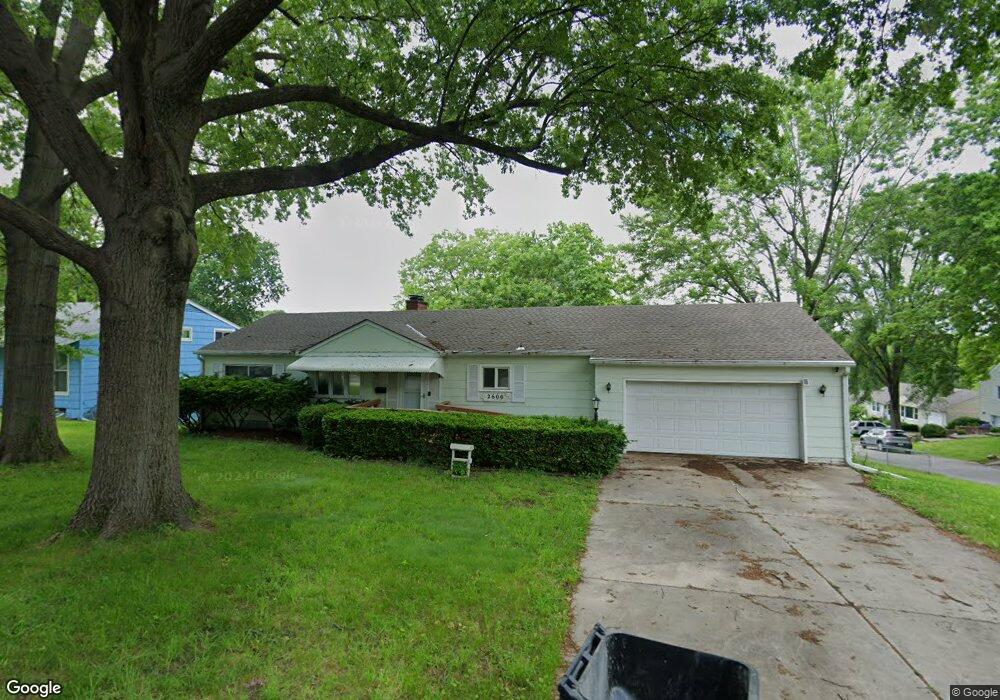
2600 S Evanston Ave Independence, MO 64052
Rockwood NeighborhoodEstimated Value: $182,000 - $279,000
2
Beds
2
Baths
1,458
Sq Ft
$146/Sq Ft
Est. Value
About This Home
This home is located at 2600 S Evanston Ave, Independence, MO 64052 and is currently estimated at $212,144, approximately $145 per square foot. 2600 S Evanston Ave is a home located in Jackson County with nearby schools including Korte Elementary School, Clifford H. Nowlin Middle School, and Van Horn High School.
Ownership History
Date
Name
Owned For
Owner Type
Purchase Details
Closed on
Apr 16, 1998
Sold by
Dickinson Ralph C and Dickinson Lorene E
Bought by
Johnson Reuben Preston and Johnson Vanessa Rene
Current Estimated Value
Home Financials for this Owner
Home Financials are based on the most recent Mortgage that was taken out on this home.
Original Mortgage
$81,349
Outstanding Balance
$15,591
Interest Rate
7.21%
Mortgage Type
FHA
Estimated Equity
$196,553
Purchase Details
Closed on
Jul 18, 1996
Sold by
Morey Arthur P and Morey Sandra K
Bought by
Dickinson Ralph C and Dickinson Lorene E
Create a Home Valuation Report for This Property
The Home Valuation Report is an in-depth analysis detailing your home's value as well as a comparison with similar homes in the area
Home Values in the Area
Average Home Value in this Area
Purchase History
| Date | Buyer | Sale Price | Title Company |
|---|---|---|---|
| Johnson Reuben Preston | -- | Chicago Title Insurance Co | |
| Dickinson Ralph C | -- | -- |
Source: Public Records
Mortgage History
| Date | Status | Borrower | Loan Amount |
|---|---|---|---|
| Open | Johnson Reuben Preston | $81,349 |
Source: Public Records
Tax History
| Year | Tax Paid | Tax Assessment Tax Assessment Total Assessment is a certain percentage of the fair market value that is determined by local assessors to be the total taxable value of land and additions on the property. | Land | Improvement |
|---|---|---|---|---|
| 2025 | $1,890 | $21,609 | $5,385 | $16,224 |
| 2024 | $1,844 | $26,505 | $3,057 | $23,448 |
| 2023 | $1,844 | $26,505 | $3,057 | $23,448 |
| 2022 | $1,245 | $16,340 | $2,698 | $13,642 |
| 2021 | $1,240 | $16,340 | $2,698 | $13,642 |
| 2020 | $1,278 | $16,398 | $2,698 | $13,700 |
| 2019 | $1,259 | $16,398 | $2,698 | $13,700 |
| 2018 | $1,255 | $15,884 | $2,900 | $12,984 |
| 2017 | $1,255 | $15,884 | $2,900 | $12,984 |
| 2016 | $1,173 | $14,501 | $1,957 | $12,544 |
Source: Public Records
Map
Nearby Homes
- 2625 S Arlington Ave
- 9712 E Westport Rd
- 2515 S Arlington Ave
- 2507 S Arlington Ave
- 2511 S Evanston Ave
- 2705 S Brookside Ave
- 2400 S Crescent Ave
- 2322 S Glenwood Ave
- 2310 S Hall Rd
- 2601 S Hardy Ave
- 2249 Blue Ridge Blvd
- 9812 Linwood Blvd
- 10212 E 31st St S
- 2000 S Glenwood Ave
- 2004 S Hawthorne Ave
- 2604 S Northern Blvd
- 1915 S Overton Ave
- 3011 Ashland Ridge Rd
- 3228 S Cedar Ave
- 9801 E 33rd St S
- 2601 S Evanston Ave
- 2604 S Evanston Ave
- 9700 E 26th St S
- 9616 E 26th St S
- 9704 E 26th St S
- 2605 S Evanston Ave
- 9612 E 26th St S
- 9608 E 26th St S
- 9604 E 26th St S
- 2601 S Arlington Ave
- 2609 S Evanston Ave
- 2605 S Arlington Ave
- 2612 S Evanston Ave
- 2600 S Westport Rd
- 2609 S Arlington Ave
- 2613 S Evanston Ave
- 2604 S Westport Rd
- 2616 S Evanston Ave
- 2508 S Westport Rd
- 9600 E 26th St S
Your Personal Tour Guide
Ask me questions while you tour the home.