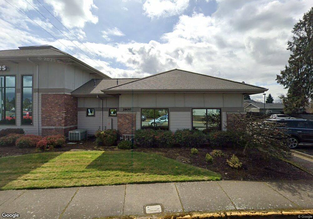
2600 S Main Rd Lebanon, OR 97355
Estimated Value: $1,686,377
--
Bed
--
Bath
4,560
Sq Ft
$370/Sq Ft
Est. Value
About This Home
This home is located at 2600 S Main Rd, Lebanon, OR 97355 and is currently estimated at $1,686,377, approximately $369 per square foot. 2600 S Main Rd is a home located in Linn County with nearby schools including Cascades School, Seven Oak Middle School, and Lebanon High School.
Ownership History
Date
Name
Owned For
Owner Type
Purchase Details
Closed on
Jan 20, 2016
Sold by
Dm Wells Properties Llc
Bought by
Arthur Western Llc
Current Estimated Value
Home Financials for this Owner
Home Financials are based on the most recent Mortgage that was taken out on this home.
Original Mortgage
$345,000
Outstanding Balance
$274,206
Interest Rate
3.94%
Mortgage Type
Seller Take Back
Estimated Equity
$1,412,171
Purchase Details
Closed on
Mar 1, 2007
Sold by
Wells D M
Bought by
Dm Wells Properties Llc
Create a Home Valuation Report for This Property
The Home Valuation Report is an in-depth analysis detailing your home's value as well as a comparison with similar homes in the area
Home Values in the Area
Average Home Value in this Area
Purchase History
| Date | Buyer | Sale Price | Title Company |
|---|---|---|---|
| Arthur Western Llc | $670,000 | Ticor Title | |
| Dm Wells Properties Llc | -- | None Available |
Source: Public Records
Mortgage History
| Date | Status | Borrower | Loan Amount |
|---|---|---|---|
| Open | Arthur Western Llc | $345,000 |
Source: Public Records
Tax History Compared to Growth
Tax History
| Year | Tax Paid | Tax Assessment Tax Assessment Total Assessment is a certain percentage of the fair market value that is determined by local assessors to be the total taxable value of land and additions on the property. | Land | Improvement |
|---|---|---|---|---|
| 2024 | $14,195 | $675,470 | -- | -- |
| 2023 | $13,736 | $655,800 | $0 | $0 |
| 2022 | $13,180 | $636,700 | $0 | $0 |
| 2021 | $12,967 | $618,160 | $0 | $0 |
| 2020 | $12,807 | $600,160 | $0 | $0 |
| 2019 | $12,168 | $582,680 | $0 | $0 |
| 2018 | $12,073 | $565,710 | $0 | $0 |
| 2017 | $11,788 | $549,240 | $0 | $0 |
| 2016 | $11,203 | $533,250 | $0 | $0 |
| 2015 | $10,873 | $517,720 | $0 | $0 |
| 2014 | $10,905 | $502,650 | $0 | $0 |
Source: Public Records
Map
Nearby Homes
- 2464 Primrose St
- 270 Hobbs St
- 2796 S Main (#26) Rd Unit 26
- 2645 Birch St
- 63 Sand Ridge Ct
- 71 Sand Ridge (& 75) Ct
- 2796 S Main Rd Unit 15
- 10 & 12 Sand Ridge Ct
- 16 & 18 Sandridge Ct
- 24 & 26 Sand Ridge Ct
- 38 & 40 Sand Ridge Ct
- 66 & 68 Sand Ridge Ct
- 200 Market (#291) St Unit 291
- 200 Market (#289) St Unit 289
- 301 Russell St
- 200 Market St Unit 221 St
- 200 Market St Unit 222 St
- 200 Market St Unit 218 St
- 200 Market St Unit 255
- 200 Market St Unit 291