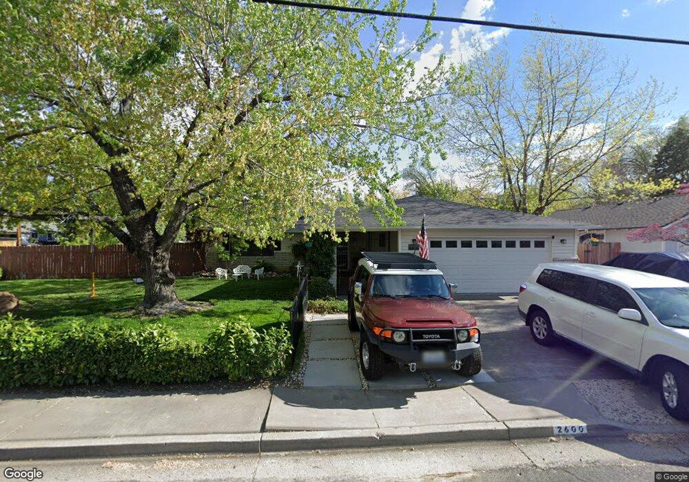
2600 Trentham Way Reno, NV 89509
Mayberry NeighborhoodEstimated Value: $651,000 - $738,000
3
Beds
2
Baths
1,682
Sq Ft
$409/Sq Ft
Est. Value
About This Home
This home is located at 2600 Trentham Way, Reno, NV 89509 and is currently estimated at $688,256, approximately $409 per square foot. 2600 Trentham Way is a home located in Washoe County with nearby schools including Roy Gomm Elementary School, Darrell C Swope Middle School, and Reno High School.
Ownership History
Date
Name
Owned For
Owner Type
Purchase Details
Closed on
May 15, 2020
Sold by
Heath Michael
Bought by
Heath Michael Francis and Duenez Heath Maria
Current Estimated Value
Purchase Details
Closed on
Jan 13, 2011
Sold by
Skjelstad Thomas G and Skjelstad Barbara H
Bought by
Federal National Mortgage Association
Create a Home Valuation Report for This Property
The Home Valuation Report is an in-depth analysis detailing your home's value as well as a comparison with similar homes in the area
Home Values in the Area
Average Home Value in this Area
Purchase History
| Date | Buyer | Sale Price | Title Company |
|---|---|---|---|
| Heath Michael Francis | -- | None Available | |
| Federal National Mortgage Association | -- | Fidelity National |
Source: Public Records
Tax History Compared to Growth
Tax History
| Year | Tax Paid | Tax Assessment Tax Assessment Total Assessment is a certain percentage of the fair market value that is determined by local assessors to be the total taxable value of land and additions on the property. | Land | Improvement |
|---|---|---|---|---|
| 2025 | $1,885 | $87,226 | $54,215 | $33,011 |
| 2024 | $1,885 | $84,979 | $52,465 | $32,514 |
| 2023 | $1,831 | $82,033 | $51,940 | $30,093 |
| 2022 | $1,779 | $69,925 | $45,360 | $24,565 |
| 2021 | $1,727 | $55,407 | $31,500 | $23,907 |
| 2020 | $1,675 | $56,019 | $31,150 | $24,869 |
| 2019 | $1,626 | $53,017 | $27,615 | $25,402 |
| 2018 | $1,580 | $46,294 | $20,685 | $25,609 |
| 2017 | $1,535 | $47,120 | $20,685 | $26,435 |
| 2016 | $1,495 | $45,406 | $17,745 | $27,661 |
| 2015 | $1,495 | $42,371 | $13,685 | $28,686 |
| 2014 | $1,449 | $40,665 | $12,110 | $28,555 |
| 2013 | -- | $38,225 | $9,835 | $28,390 |
Source: Public Records
Map
Nearby Homes
- 1905 Von Way
- 2024 Regent St
- 1460 Shewmaker Ct
- 1755 Benjamin Franklin Dr
- 1104 Ryegrass Ct
- 615 Shamrock Ln
- 4180 Del Curto Dr
- 4184 Del Curto Dr
- 4000 Goodsell Ln
- 4090 Goodsell Ln
- 1535 Davidson Way
- 4060 Goodsell Ln
- 605 E Riverview Cir
- 1740 McNevin Ct
- 2195 W Plumb Ln
- 2240 W Plumb Ln
- 1510 Mayberry Dr
- 1725 Aquila Ave
- 3274 Alum Creek Ct
- 3495 W Plumb Ln
- 2630 Trentham Way
- 1001 Keele Dr
- 1055 Keele Dr
- 2590 Trentham Way
- 2615 Trentham Way
- 2660 Trentham Way
- 1050 Keele Dr
- 2645 Trentham Way
- 990 Keele Dr
- 1105 Keele Dr
- 1100 Keele Dr
- 2675 Trentham Way
- 2555 Trentham Way
- 2690 Trentham Way
- 2520 Trentham Way
- 1210 Sherwood Dr
- 1045 Johnson Place
- 1230 Sherwood Dr
- 1141 Sageberry Ct
- 1140 Keele Dr