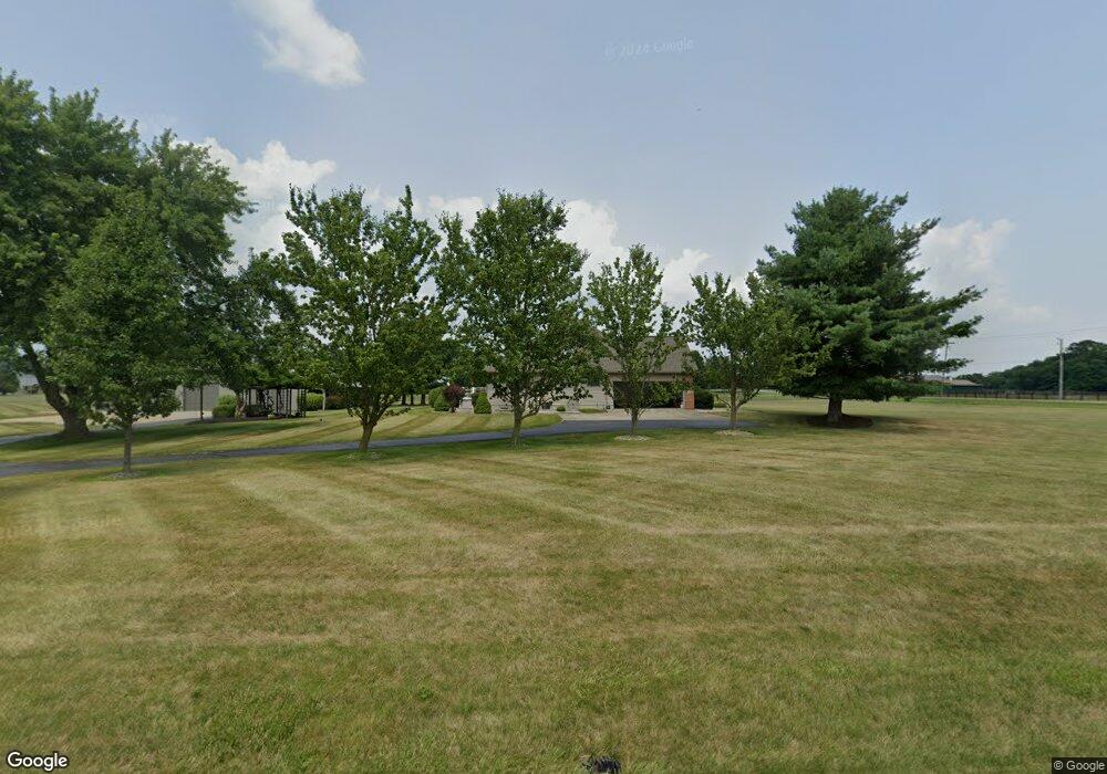
2600 Wilson Rd Centerburg, OH 43011
Estimated Value: $458,000 - $687,198
5
Beds
2
Baths
2,271
Sq Ft
$242/Sq Ft
Est. Value
About This Home
This home is located at 2600 Wilson Rd, Centerburg, OH 43011 and is currently estimated at $548,800, approximately $241 per square foot. 2600 Wilson Rd is a home located in Knox County with nearby schools including Centerburg Elementary School and Centerburg High School.
Ownership History
Date
Name
Owned For
Owner Type
Purchase Details
Closed on
Dec 9, 2002
Sold by
Campbell Karen M
Bought by
Hartfield Steven L and Hartfield Cath
Current Estimated Value
Purchase Details
Closed on
Oct 30, 1998
Sold by
Sands Gregory A and Sands Linda M
Bought by
Campbell Karen M
Purchase Details
Closed on
Dec 22, 1993
Sold by
Smith Ralph E and Smith Elizabeth
Bought by
Sands Gregory A and Sands Linda M
Create a Home Valuation Report for This Property
The Home Valuation Report is an in-depth analysis detailing your home's value as well as a comparison with similar homes in the area
Home Values in the Area
Average Home Value in this Area
Purchase History
| Date | Buyer | Sale Price | Title Company |
|---|---|---|---|
| Hartfield Steven L | $290,000 | -- | |
| Campbell Karen M | $275,000 | -- | |
| Sands Gregory A | $18,000 | -- |
Source: Public Records
Tax History Compared to Growth
Tax History
| Year | Tax Paid | Tax Assessment Tax Assessment Total Assessment is a certain percentage of the fair market value that is determined by local assessors to be the total taxable value of land and additions on the property. | Land | Improvement |
|---|---|---|---|---|
| 2024 | $8,694 | $213,710 | $38,020 | $175,690 |
| 2023 | $8,694 | $213,710 | $38,020 | $175,690 |
| 2022 | $7,078 | $147,380 | $26,220 | $121,160 |
| 2021 | $7,078 | $147,380 | $26,220 | $121,160 |
| 2020 | $6,472 | $147,380 | $26,220 | $121,160 |
| 2019 | $5,117 | $107,240 | $24,230 | $83,010 |
| 2018 | $4,455 | $107,240 | $24,230 | $83,010 |
| 2017 | $4,006 | $93,580 | $24,230 | $69,350 |
| 2016 | $3,682 | $86,650 | $22,440 | $64,210 |
| 2015 | $3,519 | $86,650 | $22,440 | $64,210 |
| 2014 | $3,515 | $86,650 | $22,440 | $64,210 |
| 2013 | $3,642 | $85,540 | $22,400 | $63,140 |
Source: Public Records
Map
Nearby Homes
- 2042 Croton Rd
- 0 Anderson Ln Unit Lot 13 225029362
- 2191 Barnes Rd
- 357 S Hartford Ave
- 4453 Cardan Ln
- 15228 Croton Rd
- 106 Union St
- 0 Krause Rd Unit 225038328
- 80 N Preston St
- 76 E Main St
- 24 Messmore Ave
- 00 Ohio 314
- 5679 White Rd
- 436 Ohio 314
- 9426 Bennington Chapel Rd
- 4464 Reynolds Rd
- 82 S Main St
- 4682 Webster Rd
- 3136 Vanatta Rd
- 16971 Meredith State Rd