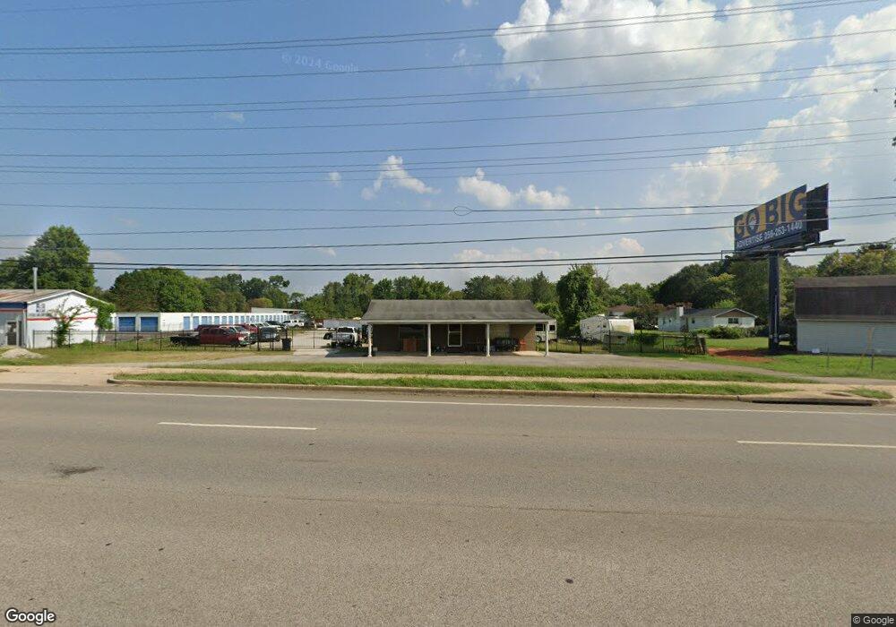
2600 Winchester Rd NE Unit L Huntsville, AL 35811
Estimated Value: $453,712
--
Bed
1
Bath
1,092
Sq Ft
$415/Sq Ft
Est. Value
About This Home
This home is located at 2600 Winchester Rd NE Unit L, Huntsville, AL 35811 and is currently estimated at $453,712, approximately $415 per square foot. 2600 Winchester Rd NE Unit L is a home located in Madison County with nearby schools including Riverton Elementary School, Riverton Intermediate School, and Buckhorn Middle School.
Ownership History
Date
Name
Owned For
Owner Type
Purchase Details
Closed on
Oct 30, 2018
Sold by
Bingham Properties Llc
Bought by
Laforest Michael L
Current Estimated Value
Home Financials for this Owner
Home Financials are based on the most recent Mortgage that was taken out on this home.
Original Mortgage
$200,000
Outstanding Balance
$175,500
Interest Rate
4.7%
Mortgage Type
Purchase Money Mortgage
Estimated Equity
$278,212
Purchase Details
Closed on
Jan 28, 2011
Sold by
Jean Shena P
Bought by
Bingham Properties Llc
Create a Home Valuation Report for This Property
The Home Valuation Report is an in-depth analysis detailing your home's value as well as a comparison with similar homes in the area
Home Values in the Area
Average Home Value in this Area
Purchase History
| Date | Buyer | Sale Price | Title Company |
|---|---|---|---|
| Laforest Michael L | $265,000 | None Available | |
| Bingham Properties Llc | -- | -- |
Source: Public Records
Mortgage History
| Date | Status | Borrower | Loan Amount |
|---|---|---|---|
| Open | Laforest Michael L | $200,000 |
Source: Public Records
Tax History Compared to Growth
Tax History
| Year | Tax Paid | Tax Assessment Tax Assessment Total Assessment is a certain percentage of the fair market value that is determined by local assessors to be the total taxable value of land and additions on the property. | Land | Improvement |
|---|---|---|---|---|
| 2024 | $911 | $25,540 | $11,800 | $13,740 |
| 2023 | $897 | $24,920 | $11,800 | $13,120 |
| 2022 | $828 | $23,660 | $11,800 | $11,860 |
| 2021 | $793 | $22,700 | $11,800 | $10,900 |
| 2020 | $779 | $21,960 | $11,800 | $10,160 |
| 2019 | $752 | $21,580 | $11,800 | $9,780 |
| 2018 | $730 | $20,980 | $0 | $0 |
| 2017 | $730 | $20,980 | $0 | $0 |
| 2016 | $730 | $20,980 | $0 | $0 |
| 2015 | $730 | $20,980 | $0 | $0 |
| 2014 | $737 | $21,200 | $0 | $0 |
Source: Public Records
Map
Nearby Homes
- 119 River Downs Dr
- 211 Water Ridge Ln
- 107 Mill Springs Ln
- 110 Mill Springs Ln
- 109 Mill Springs Ln
- 117 Mill Springs Ln
- 145 Bridge Arbor Ln
- 128 Mill Springs Ln
- 101 Riverway Ln
- The Asheville Plan at Flint Meadows
- 143 River Pointe Dr
- 226 Twin Lakes Dr
- 313 Merrydale Dr
- 167 River Pointe Dr
- 169 River Pointe Dr
- 171 River Pointe Dr
- 228 Twin Lakes Dr
- 179 River Pointe Dr
- 230 Twin Lakes Dr
- 131 River Springs Ct
- 2600 Winchester Rd NE Unit C
- 5026 Shaun Cir
- 5024 Shaun Cir
- 5028 Shaun Cir
- 5022 Shaun Cir
- 5006 Nancy Cir
- 5004 Nancy Cir
- 5002 Nancy Cir
- 5020 Shaun Cir
- 5021 Shaun Cir
- 5030 Shaun Cir
- 5027 Shaun Cir
- 5000 Nancy Cir
- 5008 Nancy Cir
- 5029 Shaun Cir
- 5018 Shaun Cir
- 5003 Nancy Cir
- 5031 Shaun Cir
- 5011 Nancy Cir
- 121 Winding Trail