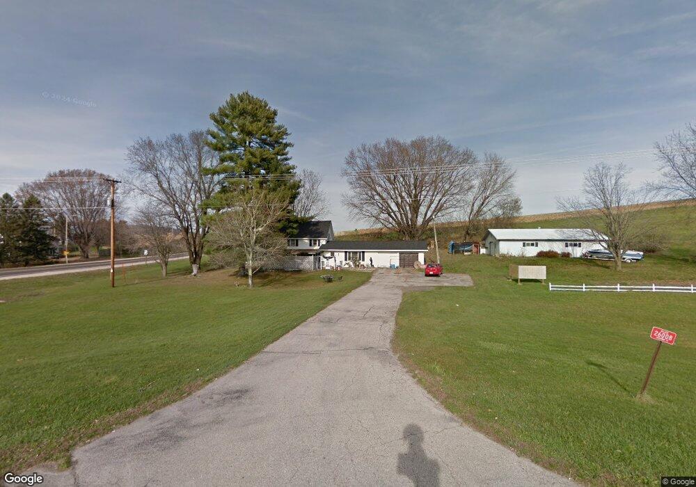
26008 State Highway 71 Wilton, WI 54670
Estimated Value: $176,000 - $311,000
3
Beds
2
Baths
1,232
Sq Ft
$187/Sq Ft
Est. Value
About This Home
This home is located at 26008 State Highway 71, Wilton, WI 54670 and is currently estimated at $229,791, approximately $186 per square foot. 26008 State Highway 71 is a home located in Monroe County with nearby schools including Royall Elementary School and Royall High School.
Ownership History
Date
Name
Owned For
Owner Type
Purchase Details
Closed on
Jan 10, 2025
Sold by
Dwyer Wade A and Dwyer Angela M.
Bought by
Koltermann A A and Koltermann K
Current Estimated Value
Purchase Details
Closed on
Aug 15, 2013
Sold by
Hornburger Charles R and Hornburger Dianne M
Bought by
Dwyer Wade A and Dwyer Anglea M
Create a Home Valuation Report for This Property
The Home Valuation Report is an in-depth analysis detailing your home's value as well as a comparison with similar homes in the area
Home Values in the Area
Average Home Value in this Area
Purchase History
| Date | Buyer | Sale Price | Title Company |
|---|---|---|---|
| Koltermann A A | $170,000 | Shudlick Law Office Llc | |
| Dwyer Wade A | -- | Imagine Title Services Inc |
Source: Public Records
Tax History Compared to Growth
Tax History
| Year | Tax Paid | Tax Assessment Tax Assessment Total Assessment is a certain percentage of the fair market value that is determined by local assessors to be the total taxable value of land and additions on the property. | Land | Improvement |
|---|---|---|---|---|
| 2024 | $3,460 | $156,100 | $17,600 | $138,500 |
| 2023 | $3,303 | $156,100 | $17,600 | $138,500 |
| 2022 | $2,892 | $156,100 | $17,600 | $138,500 |
| 2021 | $1,009 | $60,300 | $17,600 | $42,700 |
| 2020 | $951 | $60,300 | $17,600 | $42,700 |
| 2019 | $2,135 | $114,100 | $13,000 | $101,100 |
| 2018 | $2,390 | $114,100 | $13,000 | $101,100 |
| 2017 | $2,407 | $114,300 | $13,200 | $101,100 |
| 2016 | $2,150 | $114,300 | $13,200 | $101,100 |
| 2015 | $2,408 | $114,300 | $13,200 | $101,100 |
| 2014 | $2,129 | $114,300 | $13,200 | $101,100 |
| 2011 | $2,063 | $114,300 | $13,200 | $101,100 |
Source: Public Records
Map
Nearby Homes
- 0 Mimosa Rd Unit 2010632
- 605 East St
- 29000 Monarch Ave
- 910 Water St
- 22855 Kettle Rd
- 1101 Walker St
- 28180 Kipper Ave
- 28254 County P
- 19117 State Highway 131
- 21422 Mead Ave
- 18380 Iowa Rd
- TBD Mead Ave
- 219 George St
- 203 George St
- 119 W Hall St
- 204 E South Railroad St
- 21640 Nordale Ave
- Lot 2 Honeycut Ave
- 25621 Honeycut Ave
- 29589 Orchard Rd
- 26147 State Highway 71
- 25963 Lincoln Ave
- 26282 Locust Ave
- 26411 Locust Ave
- 26326 State Highway 71
- 23871 Lobster Rd
- 69.64 Ac Highway 71 131
- 000 County Road T
- 34.06 Ac Kerry Ave
- 47 Ac Kerry Ave
- 36.84 Ac Keats Rd
- 61.61 AC Keats Rd
- 13 Ac Keats Rd
- 14 Ac Keats Rd
- 13 Acres Keats Rd
- 14 Acres Keats Rd
- 98.57 AC Keats Rd
- X Keats Rd
- 23180 State Highway 131
- 26549 Locust Ave