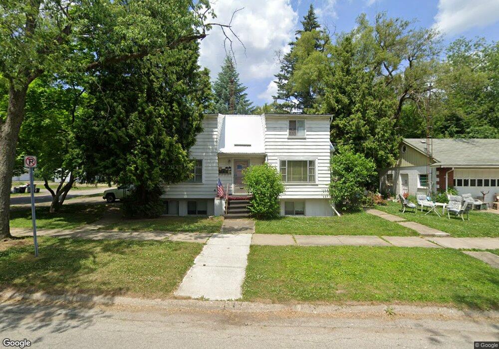
2601 Bennett Ave Unit Bldg-Unit Flint, MI 48506
Eastside NeighborhoodEstimated Value: $58,000 - $81,000
1
Bed
4
Baths
2,244
Sq Ft
$32/Sq Ft
Est. Value
About This Home
This home is located at 2601 Bennett Ave Unit Bldg-Unit, Flint, MI 48506 and is currently estimated at $72,377, approximately $32 per square foot. 2601 Bennett Ave Unit Bldg-Unit is a home located in Genesee County with nearby schools including Potter School, Richfield Public School Academy, and Flint Cultural Center Academy.
Ownership History
Date
Name
Owned For
Owner Type
Purchase Details
Closed on
Feb 23, 2018
Sold by
Holt Othie L
Bought by
Rainbow Equirties Llc A Michigan
Current Estimated Value
Home Financials for this Owner
Home Financials are based on the most recent Mortgage that was taken out on this home.
Original Mortgage
$35,070
Outstanding Balance
$29,871
Interest Rate
4.22%
Mortgage Type
Stand Alone First
Estimated Equity
$42,506
Create a Home Valuation Report for This Property
The Home Valuation Report is an in-depth analysis detailing your home's value as well as a comparison with similar homes in the area
Home Values in the Area
Average Home Value in this Area
Purchase History
| Date | Buyer | Sale Price | Title Company |
|---|---|---|---|
| Rainbow Equirties Llc A Michigan | $34,700 | Garrow Title Agency Llc |
Source: Public Records
Mortgage History
| Date | Status | Borrower | Loan Amount |
|---|---|---|---|
| Open | Rainbow Equirties Llc A Michigan | $35,070 |
Source: Public Records
Tax History
| Year | Tax Paid | Tax Assessment Tax Assessment Total Assessment is a certain percentage of the fair market value that is determined by local assessors to be the total taxable value of land and additions on the property. | Land | Improvement |
|---|---|---|---|---|
| 2025 | $2,114 | $32,100 | $0 | $0 |
| 2024 | $1,976 | $29,500 | $0 | $0 |
| 2023 | $1,930 | $25,700 | $0 | $0 |
| 2022 | $0 | $20,500 | $0 | $0 |
| 2021 | $1,887 | $19,600 | $0 | $0 |
| 2020 | $1,749 | $17,500 | $0 | $0 |
| 2019 | $1,381 | $17,300 | $0 | $0 |
| 2018 | $1,078 | $11,700 | $0 | $0 |
| 2017 | $1,010 | $0 | $0 | $0 |
| 2016 | $1,030 | $0 | $0 | $0 |
| 2015 | -- | $0 | $0 | $0 |
| 2014 | -- | $0 | $0 | $0 |
| 2012 | -- | $11,000 | $0 | $0 |
Source: Public Records
Map
Nearby Homes
- 2211 Torrance St
- 2426 Broadway Blvd
- 2426 Hoff St
- 2321 Levern St
- 2601 Illinois Ave
- 2701 Branch Rd
- 2506 Arlington Ave
- 2217 Maryland Ave
- 2908 Douglas Ave
- 2719 Branch Rd
- 3018 Dakota Ave
- 2613 Pennsylvania Ave
- 1622 Arlington Ave
- 2433 Pennsylvania Ave
- 2415 Pennsylvania Ave
- 3149 Whittier Ave
- 2610 Pennsylvania Ave
- 1805 Bennett Ave
- 3213 Holly Ave
- 1501 Arlington Ave
- 2601 Bennett Ave
- 2212 Hoff St
- 2201 Torrance Ave
- 2207 Torrance Ave
- 2606 Bennett Ave
- 2211 Torrance Ave
- 2610 Bennett Ave
- 2519 Bennett Ave
- 2614 Bennett Ave
- 2220 Hoff St
- 2217 Torrance Ave
- 2618 Bennett Ave
- 2213 Hoff St
- 2225 Hoff St
- 2224 Hoff St
- 2622 Bennett Ave
- 2518 Bennett Ave
- 2114 Hoff St
- 2217 Hoff St
- 2301 Torrance Ave
Your Personal Tour Guide
Ask me questions while you tour the home.