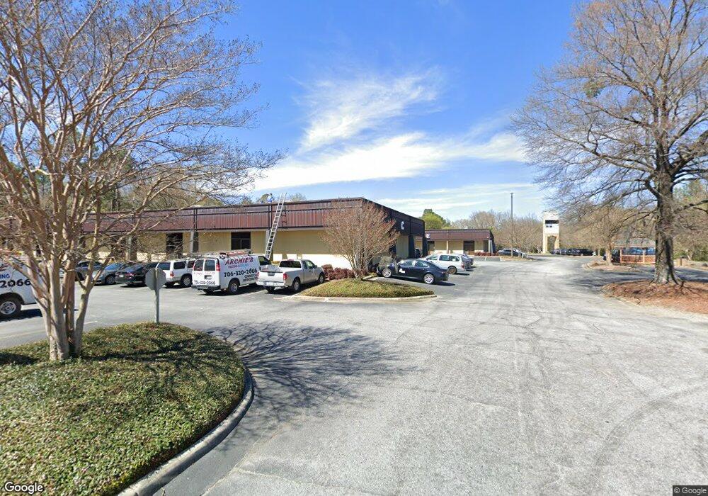
2601 Cross Country Dr Unit BldgE Columbus, GA 31906
Hilton Heights-Clubview Heights NeighborhoodEstimated Value: $568,471
--
Bed
1
Bath
10,595
Sq Ft
$54/Sq Ft
Est. Value
About This Home
This home is located at 2601 Cross Country Dr Unit BldgE, Columbus, GA 31906 and is currently priced at $568,471, approximately $53 per square foot. 2601 Cross Country Dr Unit BldgE is a home located in Muscogee County with nearby schools including Clubview Elementary School, Richards Middle School, and Hardaway High School.
Ownership History
Date
Name
Owned For
Owner Type
Purchase Details
Closed on
Mar 31, 2025
Sold by
Fit Realty Georgia Llc
Bought by
Averett Family Partnership Lllp
Current Estimated Value
Home Financials for this Owner
Home Financials are based on the most recent Mortgage that was taken out on this home.
Original Mortgage
$181,256
Interest Rate
6.87%
Purchase Details
Closed on
Dec 9, 2019
Sold by
Goodwill Industries Of The Southern Rive
Bought by
Fit Realty Georgia Llc
Create a Home Valuation Report for This Property
The Home Valuation Report is an in-depth analysis detailing your home's value as well as a comparison with similar homes in the area
Home Values in the Area
Average Home Value in this Area
Purchase History
| Date | Buyer | Sale Price | Title Company |
|---|---|---|---|
| Averett Family Partnership Lllp | $1,150,000 | None Listed On Document | |
| Fit Realty Georgia Llc | $400,000 | -- |
Source: Public Records
Mortgage History
| Date | Status | Borrower | Loan Amount |
|---|---|---|---|
| Closed | Averett Family Partnership Lllp | $181,256 | |
| Open | Averett Family Partnership Lllp | $568,743 |
Source: Public Records
Tax History Compared to Growth
Tax History
| Year | Tax Paid | Tax Assessment Tax Assessment Total Assessment is a certain percentage of the fair market value that is determined by local assessors to be the total taxable value of land and additions on the property. | Land | Improvement |
|---|---|---|---|---|
| 2025 | $10,452 | $267,018 | $63,912 | $203,106 |
| 2024 | $10,452 | $267,018 | $63,912 | $203,106 |
| 2023 | $1,052 | $267,018 | $63,912 | $203,106 |
| 2022 | $10,903 | $267,018 | $63,912 | $203,106 |
| 2021 | $10,903 | $267,018 | $63,912 | $203,106 |
| 2020 | $6,535 | $160,000 | $63,912 | $96,088 |
| 2019 | $0 | $219,432 | $63,912 | $155,520 |
| 2018 | $0 | $219,432 | $63,912 | $155,520 |
| 2017 | $0 | $219,432 | $63,912 | $155,520 |
| 2016 | $0 | $221,877 | $72,786 | $149,091 |
| 2015 | -- | $221,877 | $72,786 | $149,091 |
| 2014 | -- | $221,877 | $72,786 | $149,091 |
| 2013 | -- | $221,877 | $72,786 | $149,091 |
Source: Public Records
Map
Nearby Homes
- 2576 Habersham Ave
- 2940 Birchfield Dr
- 2722 E Lindsay Dr
- 2604 Sue MacK Dr
- 2637 Sue MacK Dr
- 2525 Norris Rd Unit 36
- 2525 Norris Rd Unit 73
- 2525 Norris Rd Unit 91
- 1903 Marilon Dr
- 1712 Marilon Dr
- 2817 Carson Dr
- 2930 Sue MacK Dr
- 3224 Carden Dr
- 2820 Nancy St
- 1714 Iris Dr
- 2917 Edgewood Rd
- 2010 Wells Dr
- 1553 Violet Ave
- 3560 Woodland Dr
- 3562 Woodland Dr
- 2601 Cross Country Dr
- 2528 Fremont Ave
- 2604 Fremont Ave
- 2574 Fremont Ave
- 2612 Fremont Ave
- 2600 Cross Country Dr
- 2620 Fremont Ave
- 2579 Fremont Ave
- 2601 Fremont Ave
- 2609 Fremont Ave
- 2571 Fremont Ave
- 0 Fremont Ave Unit 7471668
- 0 Fremont Ave Unit 7208172
- 0 Fremont Ave
- 2628 Fremont Ave
- 2617 Fremont Ave
- 2949 Birchfield Dr
- 2625 Fremont Ave
- 2958 Birchfield Dr
- 2636 Fremont Ave