2601 Crow Loop Unit PI-19 Coalville, UT 84017
Estimated Value: $685,000 - $857,000
2
Beds
3
Baths
2,376
Sq Ft
$325/Sq Ft
Est. Value
About This Home
This home is located at 2601 Crow Loop Unit PI-19, Coalville, UT 84017 and is currently estimated at $771,611, approximately $324 per square foot. 2601 Crow Loop Unit PI-19 is a home located in Summit County with nearby schools including North Summit Middle School, North Summit Elementary School, and North Summit High School.
Ownership History
Date
Name
Owned For
Owner Type
Purchase Details
Closed on
Apr 5, 2023
Sold by
Vincent Samuel B and Vincent Heidi
Bought by
Hirsh Elyse Danielle and Hirsh Gregory Michael
Current Estimated Value
Purchase Details
Closed on
Oct 29, 2020
Sold by
Tanner David Smith and Tanner Patricia Hoover
Bought by
Vincent Samuel B and Vincent Heidi
Home Financials for this Owner
Home Financials are based on the most recent Mortgage that was taken out on this home.
Original Mortgage
$319,550
Interest Rate
2.9%
Mortgage Type
New Conventional
Create a Home Valuation Report for This Property
The Home Valuation Report is an in-depth analysis detailing your home's value as well as a comparison with similar homes in the area
Home Values in the Area
Average Home Value in this Area
Purchase History
| Date | Buyer | Sale Price | Title Company |
|---|---|---|---|
| Hirsh Elyse Danielle | -- | Us Title | |
| Vincent Samuel B | -- | Us Title Insurance Agency |
Source: Public Records
Mortgage History
| Date | Status | Borrower | Loan Amount |
|---|---|---|---|
| Previous Owner | Vincent Samuel B | $319,550 |
Source: Public Records
Tax History Compared to Growth
Tax History
| Year | Tax Paid | Tax Assessment Tax Assessment Total Assessment is a certain percentage of the fair market value that is determined by local assessors to be the total taxable value of land and additions on the property. | Land | Improvement |
|---|---|---|---|---|
| 2024 | $4,292 | $410,251 | $77,000 | $333,251 |
| 2023 | $4,292 | $773,844 | $150,000 | $623,844 |
| 2022 | $3,466 | $627,868 | $100,000 | $527,868 |
| 2021 | $2,725 | $404,096 | $40,000 | $364,096 |
| 2020 | $2,186 | $308,300 | $40,000 | $268,300 |
| 2019 | $2,503 | $308,300 | $40,000 | $268,300 |
| 2018 | $2,190 | $269,749 | $40,000 | $229,749 |
| 2017 | $1,910 | $245,793 | $56,000 | $189,793 |
| 2016 | $1,828 | $222,485 | $56,000 | $166,485 |
| 2015 | $1,914 | $222,485 | $0 | $0 |
| 2013 | $1,843 | $212,666 | $0 | $0 |
Source: Public Records
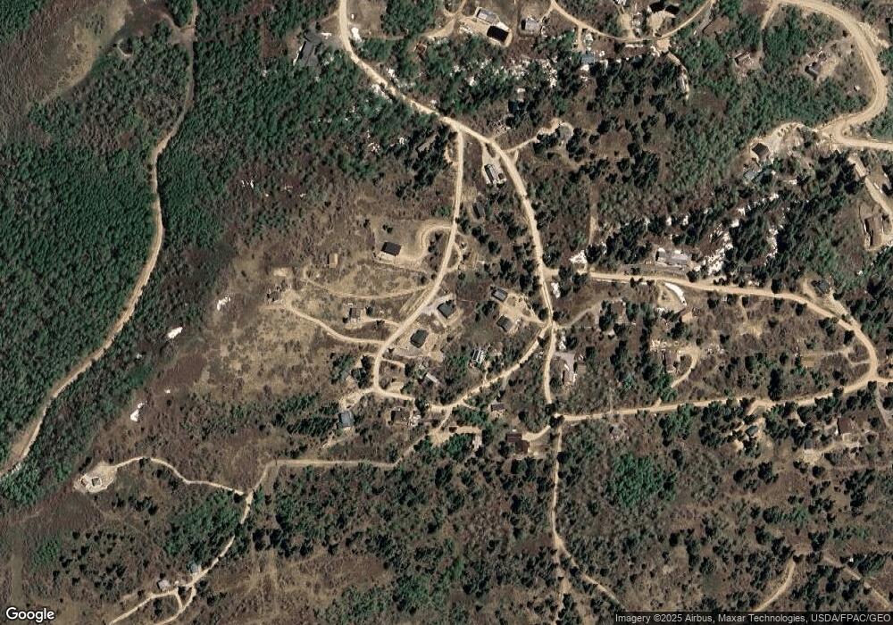
Map
Nearby Homes
- 2029 W Tollgate Rd
- 11794 N Church
- 2119 W Valley Vista Dr
- 1985 W Valley Vista Dr
- 2160 S Aspen Ridge
- 2132 S Aspen Ridge Unit G47
- 2132 S Aspen Ridge
- 1598 Arapaho Dr
- 1598 Arapaho Dr Unit 93
- 2421 Navajo Rd
- 2421 S Navajo Dr Unit PI-C50
- 2393 S Navajo Dr Unit C-47
- 2393 S Navajo Dr
- 1430 W Arapaho Dr
- 1430 W Arapaho Dr Unit 59
- 2195 Aspen Ridge Dr
- 2160 Aspen Ridge Dr
- 1833 Pine Loop Rd
- 2229 Deer Loop
- 2143 S Aspen Cir
- 2601 Crow Loop
- 20 Crowloop
- 24 Crowloop
- 16 Crow Loop
- 26 Crow Loop
- 20 Crow Loop
- 0 Crow Loop
- 2607 Crow Loop Unit 22
- 2607 Crow Loop
- 2607 Crow Loop
- 2607 Crow Loop Unit PI22
- 2593 Crow Loop
- 2593 Crow Loop Unit PI-16
- 2645 Crow Loop
- 2598 Crow Loop
- 2631 Crow Loop
- 2590 Crow Loop Unit PI-1
- 2590 Crow Loop
- 2590 Crow Loop Unit 17
- 2590 Crow Loop Unit 17 +