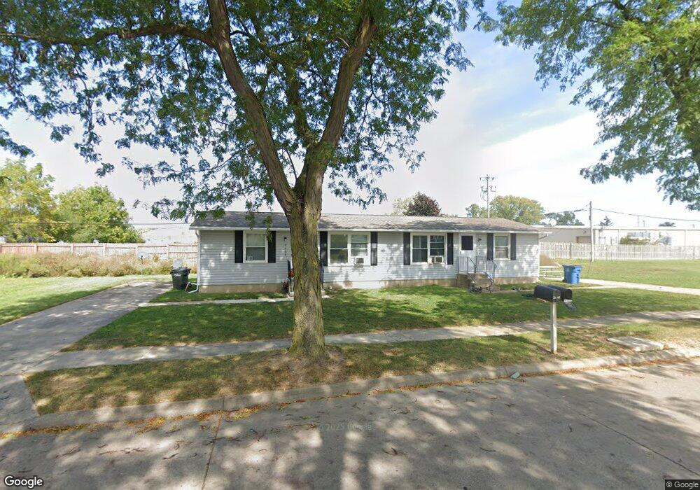
2601 Harbor Blvd Sandusky, OH 44870
Estimated Value: $74,000 - $439,716
2
Beds
1
Bath
1,440
Sq Ft
$193/Sq Ft
Est. Value
About This Home
This home is located at 2601 Harbor Blvd, Sandusky, OH 44870 and is currently estimated at $278,239, approximately $193 per square foot. 2601 Harbor Blvd is a home with nearby schools including Sandusky High School, Monroe Preparatory Academy, and Sandusky Central Catholic School.
Ownership History
Date
Name
Owned For
Owner Type
Purchase Details
Closed on
Jan 1, 1987
Bought by
Erie Metropolitan Housing Authority Metropoli
Current Estimated Value
Create a Home Valuation Report for This Property
The Home Valuation Report is an in-depth analysis detailing your home's value as well as a comparison with similar homes in the area
Home Values in the Area
Average Home Value in this Area
Purchase History
| Date | Buyer | Sale Price | Title Company |
|---|---|---|---|
| Erie Metropolitan Housing Authority Metropoli | -- | -- |
Source: Public Records
Tax History Compared to Growth
Tax History
| Year | Tax Paid | Tax Assessment Tax Assessment Total Assessment is a certain percentage of the fair market value that is determined by local assessors to be the total taxable value of land and additions on the property. | Land | Improvement |
|---|---|---|---|---|
| 2024 | -- | $192,255 | $15,253 | $177,002 |
| 2023 | $0 | $157,975 | $12,708 | $145,267 |
| 2022 | $0 | $157,975 | $12,708 | $145,267 |
| 2021 | $0 | $157,980 | $12,710 | $145,270 |
| 2020 | $0 | $160,780 | $12,710 | $148,070 |
| 2019 | $0 | $160,780 | $12,710 | $148,070 |
| 2018 | $0 | $160,780 | $12,710 | $148,070 |
| 2017 | $0 | $197,330 | $12,710 | $184,620 |
| 2016 | $0 | $197,330 | $12,710 | $184,620 |
| 2015 | -- | $197,330 | $12,710 | $184,620 |
| 2014 | -- | $195,340 | $10,720 | $184,620 |
| 2013 | -- | $195,340 | $10,720 | $184,620 |
Source: Public Records
Map
Nearby Homes
- 0 Ohio 101
- 2002 Wilson St
- 2234 Wilbert St
- 1 Perkins Ave
- 1805 Mills St
- 1319 Tiffin Ave
- 1318 Mills St
- 1725 Buchanan St
- 1014 Jay St
- 2219 Karl Ann Dr
- 1813 Sandusky St
- 2028 W Forest Dr
- 2614 Tiffin Ave
- 2614 Tiffin Ave Unit 103
- 1608 Pierce St
- 1017 Putnam St
- 2145 W Forest Dr
- 1417 Pierce St
- 3710 Venice Rd
- 1413 Seneca St
- 1813 Tiffin Ave
- 1803 Tiffin Ave
- 2600 Venice Rd
- 1745 Tiffin Ave
- 1921 Tiffin Ave
- 1743 Tiffin Ave
- 1907 Wilson St
- 2013 Tiffin Ave
- 2808 Venice Rd
- 1737 Tiffin Ave
- 1812 Tiffin Ave
- 1822 Tiffin Ave
- 1830 Tiffin Ave
- 1720 Tiffin Ave
- 2820 Venice Rd
- 1832 Tiffin Ave
- 1716 Tiffin Ave
- 1900 Wilson St
- 2021 Tiffin Ave
- 1902 Wilson St