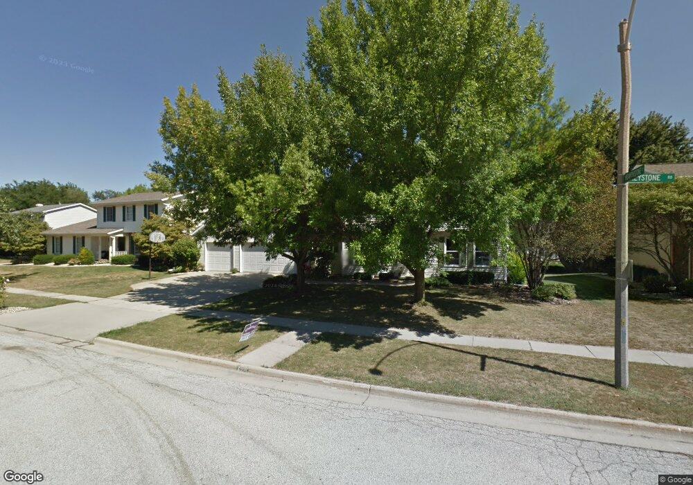
2601 Keystone Rd Bloomington, IL 61704
North Pointe NeighborhoodEstimated Value: $358,000 - $379,000
4
Beds
3
Baths
3,692
Sq Ft
$100/Sq Ft
Est. Value
About This Home
This home is located at 2601 Keystone Rd, Bloomington, IL 61704 and is currently estimated at $367,448, approximately $99 per square foot. 2601 Keystone Rd is a home located in McLean County with nearby schools including Northpoint Elementary School, Kingsley Junior High School, and Normal Community High School.
Ownership History
Date
Name
Owned For
Owner Type
Purchase Details
Closed on
Oct 10, 2008
Sold by
Harris William M and Harris Mary L
Bought by
Jun Andrew M and Jun Shelley
Current Estimated Value
Home Financials for this Owner
Home Financials are based on the most recent Mortgage that was taken out on this home.
Original Mortgage
$170,400
Outstanding Balance
$113,204
Interest Rate
6.41%
Estimated Equity
$254,244
Create a Home Valuation Report for This Property
The Home Valuation Report is an in-depth analysis detailing your home's value as well as a comparison with similar homes in the area
Home Values in the Area
Average Home Value in this Area
Purchase History
| Date | Buyer | Sale Price | Title Company |
|---|---|---|---|
| Jun Andrew M | $213,000 | Frontier Title Co |
Source: Public Records
Mortgage History
| Date | Status | Borrower | Loan Amount |
|---|---|---|---|
| Open | Jun Andrew M | $170,400 |
Source: Public Records
Tax History
| Year | Tax Paid | Tax Assessment Tax Assessment Total Assessment is a certain percentage of the fair market value that is determined by local assessors to be the total taxable value of land and additions on the property. | Land | Improvement |
|---|---|---|---|---|
| 2024 | $6,836 | $107,049 | $27,488 | $79,561 |
| 2022 | $6,836 | $83,364 | $21,406 | $61,958 |
| 2021 | $6,345 | $76,966 | $19,763 | $57,203 |
| 2020 | $6,353 | $76,966 | $19,763 | $57,203 |
| 2019 | $6,034 | $75,657 | $19,427 | $56,230 |
| 2018 | $6,027 | $75,657 | $19,427 | $56,230 |
| 2017 | $5,783 | $75,657 | $19,427 | $56,230 |
| 2016 | $5,767 | $75,657 | $19,427 | $56,230 |
| 2015 | $5,685 | $74,656 | $19,170 | $55,486 |
| 2014 | $5,561 | $73,917 | $19,170 | $54,747 |
| 2013 | -- | $72,468 | $18,794 | $53,674 |
Source: Public Records
Map
Nearby Homes
- 2813 Stonehurst
- 2110 Sinclair Ct
- 2812 Vrooman Ct
- 9 Spruce Ct
- 2807 Vrooman Ct
- Lot D Fort Jesse Rd
- Lot F Fort Jesse Rd
- Lot E Fort Jesse Rd
- 11 Spruce Ct
- 404 Lake Shore Cir
- 2703 Vrooman Ct
- 3679 Madras Dr
- 10 Cameron Ct
- 2822 Chesapeake Ln
- 2215 Woodfield Rd
- 3 Timbergate Ct
- 2804 Longmeadow Ln
- 3211 Leafy Ln
- 1 Worthington Ct
- 1 Windsong Way
- 2603 Keystone Rd
- 2511 Keystone Rd
- 2516 Airport Rd
- 2514 Airport Rd
- 2518 Airport Rd
- 16 Hearthstone Ct
- 2512 Airport Rd
- 2605 Keystone Rd
- 2509 Keystone Rd
- 2602 Airport Rd
- 15 Hearthstone Ct
- 2510 Airport Rd
- 14 Hearthstone Ct
- 2701 Keystone Rd
- 2507 Keystone Rd
- 2508 Airport Rd
- 2606 Airport Rd
- 13 Hearthstone Ct
- 2508 Keystone Rd
- 2811 Stonehurst
Your Personal Tour Guide
Ask me questions while you tour the home.