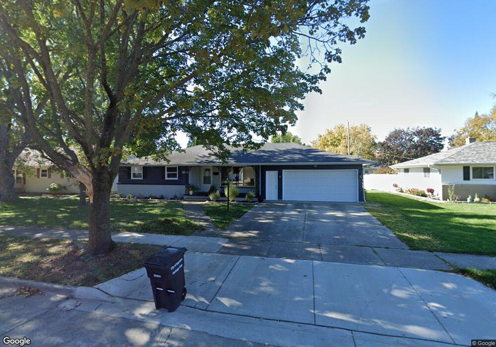
2601 Lillian Ct Appleton, WI 54911
Huntley Houses NeighborhoodEstimated Value: $212,000 - $268,000
3
Beds
3
Baths
1,558
Sq Ft
$153/Sq Ft
Est. Value
About This Home
This home is located at 2601 Lillian Ct, Appleton, WI 54911 and is currently estimated at $238,342, approximately $152 per square foot. 2601 Lillian Ct is a home located in Outagamie County with nearby schools including Huntley Elementary School, Appleton North High School, and Kaleidoscope Academy.
Ownership History
Date
Name
Owned For
Owner Type
Purchase Details
Closed on
Apr 8, 2016
Sold by
Housing And Urban Development Of Wash
Bought by
Williams Staci M and Williams Aaron R
Current Estimated Value
Home Financials for this Owner
Home Financials are based on the most recent Mortgage that was taken out on this home.
Original Mortgage
$77,650
Outstanding Balance
$61,566
Interest Rate
3.62%
Mortgage Type
New Conventional
Estimated Equity
$176,776
Purchase Details
Closed on
Apr 2, 2014
Sold by
Weborg Daren C
Bought by
U S Bank National Association As Trustee
Create a Home Valuation Report for This Property
The Home Valuation Report is an in-depth analysis detailing your home's value as well as a comparison with similar homes in the area
Home Values in the Area
Average Home Value in this Area
Purchase History
| Date | Buyer | Sale Price | Title Company |
|---|---|---|---|
| Williams Staci M | -- | -- | |
| Williams Staci M | -- | -- | |
| U S Bank National Association As Trustee | $116,800 | -- |
Source: Public Records
Mortgage History
| Date | Status | Borrower | Loan Amount |
|---|---|---|---|
| Open | Williams Staci M | $77,650 | |
| Closed | Williams Staci M | $77,650 |
Source: Public Records
Tax History
| Year | Tax Paid | Tax Assessment Tax Assessment Total Assessment is a certain percentage of the fair market value that is determined by local assessors to be the total taxable value of land and additions on the property. | Land | Improvement |
|---|---|---|---|---|
| 2023 | $2,527 | $172,600 | $44,900 | $127,700 |
| 2022 | $2,684 | $134,500 | $37,300 | $97,200 |
| 2021 | $2,555 | $134,500 | $37,300 | $97,200 |
| 2020 | $2,565 | $134,500 | $37,300 | $97,200 |
| 2019 | $2,479 | $134,500 | $37,300 | $97,200 |
| 2018 | $2,032 | $97,900 | $33,800 | $64,100 |
| 2017 | $2,036 | $97,900 | $33,800 | $64,100 |
| 2016 | $2,109 | $97,900 | $33,800 | $64,100 |
| 2015 | $2,699 | $123,100 | $33,800 | $89,300 |
| 2014 | $2,679 | $123,100 | $33,800 | $89,300 |
| 2013 | $3,230 | $123,100 | $33,800 | $89,300 |
Source: Public Records
Map
Nearby Homes
- 1011 E Lindbergh St
- 920 E Marquette St
- 701 E Longview Dr
- 841 E Windfield Place
- 921 E Windfield Place Unit A
- 1009 E Northwood Dr
- 2412 N Morrison St
- 507 E Roosevelt St
- 1437 E Glendale Ave
- 2940 N Oneida St
- 1815 N Ullman St
- 1430 N Graceland Ave
- 1426 N Meade St
- 1833 N Charlotte St
- 1809 N Charlotte St
- 2916 N Rankin St
- 1801 N Racine St
- 433 E Parkway Blvd
- 3407 N Windward Ln
- 1813 E Pauline St
- 2601 N Lillian Ct
- 2525 N Lillian Ct
- 2607 Lillian Ct
- 2525 Lillian Ct
- 2613 Lillian Ct
- 2621 Lillian Ct
- 2607 N Lillian Ct
- 2629 Lillian Ct
- 2521 Lillian Ct
- 2612 Lillian Ct
- 2612 Lillian Ct
- 2528 N Lillian Ct
- 2606 N Lillian Ct
- 2600 Lillian Ct
- 2616 Kesting Ct
- 2528 Lillian Ct
- 2606 Lillian Ct
- 2512 N Lillian Ct
- 2618 Lillian Ct
- 2624 Lillian Ct
Your Personal Tour Guide
Ask me questions while you tour the home.