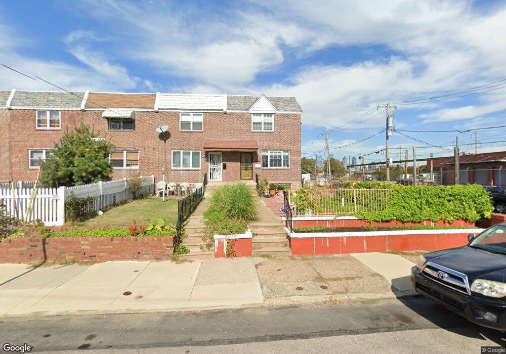
2601 Mckean St Philadelphia, PA 19145
South Philadelphia West NeighborhoodEstimated Value: $248,000 - $315,000
3
Beds
1
Bath
1,156
Sq Ft
$239/Sq Ft
Est. Value
About This Home
This home is located at 2601 Mckean St, Philadelphia, PA 19145 and is currently estimated at $276,794, approximately $239 per square foot. 2601 Mckean St is a home located in Philadelphia County with nearby schools including South Philadelphia High School, Delaplaine McDaniel School, and Universal Vare Charter School.
Ownership History
Date
Name
Owned For
Owner Type
Purchase Details
Closed on
Jul 1, 2005
Sold by
Divito Albert Louis and Divito Martha M
Bought by
Tram Andrew
Current Estimated Value
Home Financials for this Owner
Home Financials are based on the most recent Mortgage that was taken out on this home.
Original Mortgage
$139,200
Outstanding Balance
$72,899
Interest Rate
5.71%
Mortgage Type
Fannie Mae Freddie Mac
Estimated Equity
$203,895
Create a Home Valuation Report for This Property
The Home Valuation Report is an in-depth analysis detailing your home's value as well as a comparison with similar homes in the area
Home Values in the Area
Average Home Value in this Area
Purchase History
| Date | Buyer | Sale Price | Title Company |
|---|---|---|---|
| Tram Andrew | $174,000 | -- |
Source: Public Records
Mortgage History
| Date | Status | Borrower | Loan Amount |
|---|---|---|---|
| Open | Tram Andrew | $139,200 |
Source: Public Records
Tax History Compared to Growth
Tax History
| Year | Tax Paid | Tax Assessment Tax Assessment Total Assessment is a certain percentage of the fair market value that is determined by local assessors to be the total taxable value of land and additions on the property. | Land | Improvement |
|---|---|---|---|---|
| 2025 | $3,003 | $240,000 | $48,000 | $192,000 |
| 2024 | $3,003 | $240,000 | $48,000 | $192,000 |
| 2023 | $3,003 | $214,500 | $42,900 | $171,600 |
| 2022 | $1,621 | $169,500 | $42,900 | $126,600 |
| 2021 | $2,251 | $0 | $0 | $0 |
| 2020 | $2,251 | $0 | $0 | $0 |
| 2019 | $2,093 | $0 | $0 | $0 |
| 2018 | $2,076 | $0 | $0 | $0 |
| 2017 | $2,076 | $0 | $0 | $0 |
| 2016 | $1,656 | $0 | $0 | $0 |
| 2015 | $1,585 | $0 | $0 | $0 |
| 2014 | -- | $148,300 | $31,511 | $116,789 |
| 2012 | -- | $13,152 | $3,082 | $10,070 |
Source: Public Records
Map
Nearby Homes
- 1841 S 28th St
- 2802 Snyder Ave
- 2043 S Newkirk St
- 2800 Cantrell St
- 2811 Cantrell St
- 1812 S Ringgold St
- 1804 S 28th St
- 2804 Cantrell St
- 1931 S 29th St
- 2812 Cantrell St
- 1800 S Ringgold St
- 2826 Snyder Ave
- 1751 S Taylor St
- 2829 Cantrell St
- 2822 Cantrell St
- 2824 Cantrell St
- 1734 S Taylor St
- 2803 Jackson St
- 2044 S Bucknell St
- 2033 S Bucknell St
- 2603 Mckean St
- 2605 Mckean St
- 1924 S 26th St Unit 4F
- 1924 S 26th St Unit 3R
- 1924 S 26th St Unit 2R
- 1924 S 26th St Unit 6F
- 1924 S 26th St Unit 1F
- 2607 Mckean St
- 2609 Mckean St
- 2611 Mckean St
- 2600 Dudley St
- 2602 Dudley St
- 2604 Dudley St
- 2613 Mckean St
- 2606 Dudley St
- 2608 Dudley St
- 2615 Mckean St
- 2610 Dudley St
- 2617 Mckean St
- 2612 Dudley St