2601 Overlook Ct Unit 15 Coalville, UT 84017
Estimated Value: $1,550,080 - $1,806,000
--
Bed
2
Baths
2,858
Sq Ft
$581/Sq Ft
Est. Value
About This Home
This home is located at 2601 Overlook Ct Unit 15, Coalville, UT 84017 and is currently estimated at $1,661,027, approximately $581 per square foot. 2601 Overlook Ct Unit 15 is a home located in Summit County with nearby schools including North Summit Middle School, North Summit Elementary School, and North Summit High School.
Ownership History
Date
Name
Owned For
Owner Type
Purchase Details
Closed on
Jan 27, 2025
Sold by
Ernst Paul J and Roberts Toni L
Bought by
Ernst Family Trust and Roberts Family Trust
Current Estimated Value
Purchase Details
Closed on
Apr 8, 2013
Sold by
Child Jeff and Child Brenda
Bought by
Ernst Paul J and Roberts Toni L
Home Financials for this Owner
Home Financials are based on the most recent Mortgage that was taken out on this home.
Original Mortgage
$417,000
Interest Rate
3.47%
Mortgage Type
New Conventional
Create a Home Valuation Report for This Property
The Home Valuation Report is an in-depth analysis detailing your home's value as well as a comparison with similar homes in the area
Home Values in the Area
Average Home Value in this Area
Purchase History
| Date | Buyer | Sale Price | Title Company |
|---|---|---|---|
| Ernst Family Trust | -- | None Listed On Document | |
| Ernst Family Trust | -- | None Listed On Document | |
| Ernst Paul J | -- | Us Title |
Source: Public Records
Mortgage History
| Date | Status | Borrower | Loan Amount |
|---|---|---|---|
| Previous Owner | Ernst Paul J | $417,000 |
Source: Public Records
Tax History Compared to Growth
Tax History
| Year | Tax Paid | Tax Assessment Tax Assessment Total Assessment is a certain percentage of the fair market value that is determined by local assessors to be the total taxable value of land and additions on the property. | Land | Improvement |
|---|---|---|---|---|
| 2024 | $4,581 | $824,737 | $179,400 | $645,337 |
| 2023 | $4,581 | $824,737 | $179,400 | $645,337 |
| 2022 | $3,653 | $660,388 | $179,400 | $480,988 |
| 2021 | $3,695 | $546,805 | $179,400 | $367,405 |
| 2020 | $3,415 | $480,548 | $179,400 | $301,148 |
| 2019 | $3,553 | $436,548 | $135,400 | $301,148 |
| 2018 | $3,283 | $403,420 | $135,400 | $268,020 |
| 2017 | $3,141 | $403,420 | $135,400 | $268,020 |
| 2016 | $3,055 | $368,541 | $142,650 | $225,891 |
| 2015 | $3,200 | $368,541 | $0 | $0 |
| 2013 | $2,938 | $319,845 | $0 | $0 |
Source: Public Records
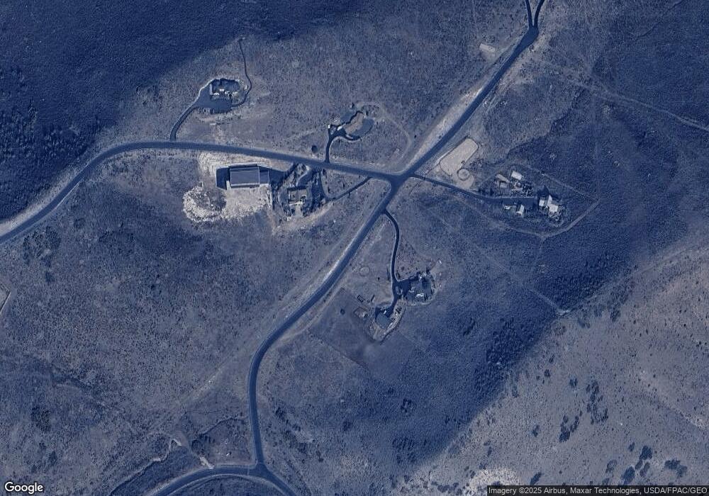
Map
Nearby Homes
- 1751 N Ridge Rd
- 3100 Spring Hill
- 29706 Old Lincoln Hwy
- 1800 Bridge Hollow Dr
- 2887 Cottonwood Dr
- 29145 Old Lincoln Hwy
- 29145 Old Lincoln Hwy Unit 157-B
- 29151 Old Lincoln Hwy Unit 163-A
- 29151 Old Lincoln Hwy
- 30031 Old Lincoln Hwy
- 3260 Deer Haven
- 8 Kent Canyon Rd
- 2330 Bobcat Ln Unit 23
- 2330 Bobcat Ln
- 1167 Trail Ridge Dr Unit 8
- 1167 Trail Ridge Dr
- 2484 Deer Crest Dr Unit 29
- 2484 Deer Crest Dr
- 15 Kent Canyon Rd Unit 15
- 28 E Hollow Dr
- 2601 Overlook Ct
- 0 Overlook Ct
- 1451 N Ridge Rd
- 1451 N Ridge Rd
- 2501 Overlook Ct
- 1400 N Ridge Rd
- 1400 N Ridge Rd
- 2501 Overlook Ct
- 1500 N Ridge Rd
- 35 Bridge Hollow Dr
- 34 Bridge Hollow Dr
- 31 Bridge Hollow Dr
- 33 Bridge Hollow Dr
- 28 Bridge Hollow Dr
- 32 Bridge Hollow Dr
- 29 Bridge Hollow Dr
- 30 Bridge Hollow Dr
- 22 Bridge Hollow Dr
- 2 Bridge Hollow Dr
- 26 Bridge Hollow Dr