2601 Summit View Dr Barnhart, MO 63012
Estimated Value: $364,483 - $476,000
Studio
--
Bath
2,111
Sq Ft
$210/Sq Ft
Est. Value
About This Home
This home is located at 2601 Summit View Dr, Barnhart, MO 63012 and is currently estimated at $442,371, approximately $209 per square foot. 2601 Summit View Dr is a home located in Jefferson County with nearby schools including Pevely Elementary School, Senn-Thomas Middle School, and Herculaneum High School.
Ownership History
Date
Name
Owned For
Owner Type
Purchase Details
Closed on
Jul 20, 2001
Sold by
Mattingly Edward D and Mattingly Nancy A
Bought by
Barril Michael and Barril Diana L
Current Estimated Value
Home Financials for this Owner
Home Financials are based on the most recent Mortgage that was taken out on this home.
Original Mortgage
$33,000
Interest Rate
7.07%
Create a Home Valuation Report for This Property
The Home Valuation Report is an in-depth analysis detailing your home's value as well as a comparison with similar homes in the area
Purchase History
| Date | Buyer | Sale Price | Title Company |
|---|---|---|---|
| Barril Michael | -- | Commonwealth Title |
Source: Public Records
Mortgage History
| Date | Status | Borrower | Loan Amount |
|---|---|---|---|
| Closed | Barril Michael | $33,000 |
Source: Public Records
Tax History
| Year | Tax Paid | Tax Assessment Tax Assessment Total Assessment is a certain percentage of the fair market value that is determined by local assessors to be the total taxable value of land and additions on the property. | Land | Improvement |
|---|---|---|---|---|
| 2025 | $2,994 | $48,100 | $5,900 | $42,200 |
| 2024 | $2,994 | $44,000 | $5,900 | $38,100 |
| 2023 | $2,994 | $44,000 | $5,900 | $38,100 |
| 2022 | $2,997 | $44,100 | $5,900 | $38,200 |
| 2021 | $3,000 | $44,100 | $5,900 | $38,200 |
| 2020 | $2,823 | $40,100 | $5,400 | $34,700 |
| 2019 | $2,822 | $40,100 | $5,400 | $34,700 |
| 2018 | $2,804 | $40,100 | $5,400 | $34,700 |
| 2017 | $2,593 | $40,100 | $5,400 | $34,700 |
| 2016 | $2,435 | $37,400 | $5,400 | $32,000 |
| 2015 | $2,311 | $37,400 | $5,400 | $32,000 |
| 2013 | $2,311 | $36,200 | $4,900 | $31,300 |
Source: Public Records
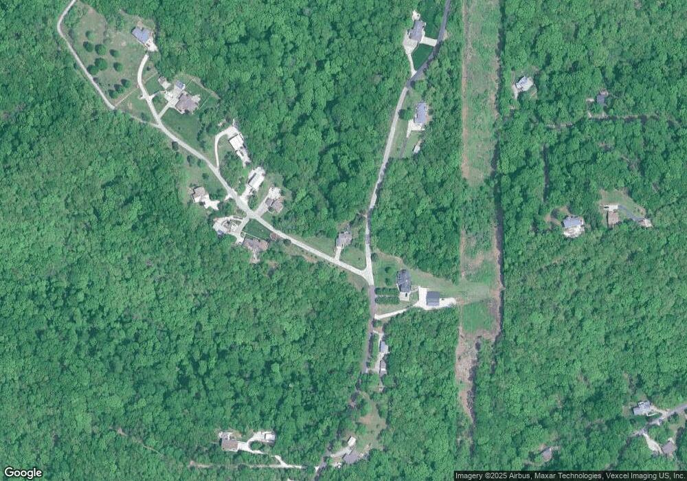
Map
Nearby Homes
- 3037 Upper Moss Hollow Rd
- 1884 Morgan Rd
- 0 Upper Moss Hollow Rd
- 8018 Fox Hollow
- 2105 Parkton Way
- 1692 Juanita Dr
- 8147 Murphy Ln
- 7255 Meriwether Ct
- 1766 Cherry Blossom Ct
- 0 Trr Twelve Oaks - Cypress
- 0 Tbb Twelve Oaks-Red Bud Unit MAR24022634
- 1724 12 Oaks Place
- 0 Tbb Twin Pines-Pine Unit MAR25024504
- 0 Tbb Twelve Oaks-Del Rio
- 0 Tbb Twin Pines-Sycamore
- 0 Tbb Twin Pines-Dogwood
- 0 Tbb Twin Pines-Red Bud I
- 0 Tbb Twin Pines-Cypress Unit MAR25024480
- 0 Tbb Twin Pines-Pin Oak
- 6677 Creekstone Dr
- 7929 S Engle Creek Rd
- 8000 S Engle Creek Rd
- 2615 Summit View Dr
- 2610 Summit View Dr
- 8054 S Engle Creek Rd
- 7970 S Engle Creek Rd
- 2627 Summit View Dr
- 2639 Summit View Dr
- 7955 S Engle Creek Rd
- 8096 S Engle Creek Rd
- 2496 Sunset Dr
- 2609 Bier Run
- 0 Bier Run (56+ - Acres)
- 2495 Sunset Dr
- 8115 S Engle Creek Rd
- 2484 Sunset Dr
- 2655 Summit View Dr
- 2483 Sunset Dr
- 2519 Sunrise Dr
- 8122 S Engle Creek Rd