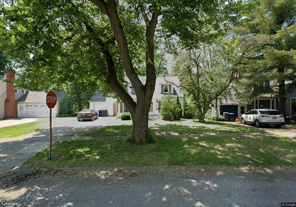
2601 Thomas St Unit Bldg-Unit Flint, MI 48504
Mott Park NeighborhoodEstimated Value: $86,000 - $137,220
4
Beds
2
Baths
1,527
Sq Ft
$74/Sq Ft
Est. Value
About This Home
This home is located at 2601 Thomas St Unit Bldg-Unit, Flint, MI 48504 and is currently estimated at $112,555, approximately $73 per square foot. 2601 Thomas St Unit Bldg-Unit is a home located in Genesee County with nearby schools including Durant-Tuuri-Mott Elementary School, St John Vianney Catholic School, and St. Paul Lutheran School.
Ownership History
Date
Name
Owned For
Owner Type
Purchase Details
Closed on
Feb 28, 2018
Sold by
Sevillian Clarence M and Sevillian Arteka D
Bought by
Lince Cynthia
Current Estimated Value
Purchase Details
Closed on
Mar 25, 1999
Sold by
Taneyhill Daniel and Taneyhill Rosiland
Bought by
Sevillian Clarence M and Sevillian Arteka D
Home Financials for this Owner
Home Financials are based on the most recent Mortgage that was taken out on this home.
Original Mortgage
$89,300
Interest Rate
6.89%
Mortgage Type
Purchase Money Mortgage
Create a Home Valuation Report for This Property
The Home Valuation Report is an in-depth analysis detailing your home's value as well as a comparison with similar homes in the area
Home Values in the Area
Average Home Value in this Area
Purchase History
| Date | Buyer | Sale Price | Title Company |
|---|---|---|---|
| Lince Cynthia | $44,900 | Sttrling Title Agency | |
| Sevillian Clarence M | $94,000 | First American Title |
Source: Public Records
Mortgage History
| Date | Status | Borrower | Loan Amount |
|---|---|---|---|
| Previous Owner | Sevillian Clarence M | $89,300 |
Source: Public Records
Tax History
| Year | Tax Paid | Tax Assessment Tax Assessment Total Assessment is a certain percentage of the fair market value that is determined by local assessors to be the total taxable value of land and additions on the property. | Land | Improvement |
|---|---|---|---|---|
| 2025 | $1,758 | $52,000 | $0 | $0 |
| 2024 | $1,565 | $49,800 | $0 | $0 |
| 2023 | $1,522 | $43,300 | $0 | $0 |
| 2022 | $0 | $36,400 | $0 | $0 |
| 2021 | $1,600 | $33,000 | $0 | $0 |
| 2020 | $1,416 | $28,300 | $0 | $0 |
| 2019 | $1,363 | $23,800 | $0 | $0 |
| 2018 | $1,429 | $23,400 | $0 | $0 |
| 2017 | $2,062 | $0 | $0 | $0 |
| 2016 | $2,046 | $0 | $0 | $0 |
| 2015 | -- | $0 | $0 | $0 |
| 2014 | -- | $0 | $0 | $0 |
| 2012 | -- | $33,800 | $0 | $0 |
Source: Public Records
Map
Nearby Homes
- 2547 Altoona St
- 2540 Altoona St
- 2513 Tiffin St
- 1271 Donaldson St
- 3071 Devonshire St
- 3120 Stratford St
- 3709 Brentwood Dr
- 3617 Sherwood Dr
- 2602 Sloan St
- 971 N Chevrolet Ave
- 0000 Beecher Rd
- 1220 Forest Hill Ave
- 314 Sheffield Ave
- 1133 Donaldson St
- 320 Sheffield Ave
- 3320 Pencombe Place
- 2915 Berkley St
- 3517 Norwood Dr
- 3405 Sherwood Dr
- 2410 Sloan St
Your Personal Tour Guide
Ask me questions while you tour the home.