Estimated Value: $226,695 - $269,000
4
Beds
2
Baths
2,120
Sq Ft
$116/Sq Ft
Est. Value
About This Home
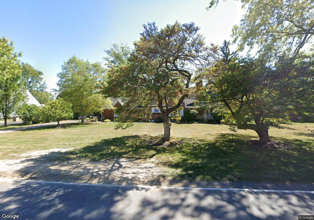
This home is located at 2601 W Elm St, Lima, OH 45805 and is currently estimated at $245,174, approximately $115 per square foot. 2601 W Elm St is a home located in Allen County with nearby schools including Maplewood Elementary School, Elmwood Elementary School, and Shawnee Middle School.
Ownership History
Date
Name
Owned For
Owner Type
Purchase Details
Closed on
Dec 23, 1998
Sold by
Godsey Patrice
Bought by
Black Shannon and Ballinger Gretchen
Current Estimated Value
Home Financials for this Owner
Home Financials are based on the most recent Mortgage that was taken out on this home.
Original Mortgage
$85,838
Outstanding Balance
$19,903
Interest Rate
7.02%
Mortgage Type
FHA
Estimated Equity
$225,271
Purchase Details
Closed on
Mar 1, 1995
Sold by
Cassie Richard
Bought by
Godsey Patrice
Home Financials for this Owner
Home Financials are based on the most recent Mortgage that was taken out on this home.
Original Mortgage
$79,800
Interest Rate
7.25%
Mortgage Type
New Conventional
Purchase Details
Closed on
Feb 12, 1991
Bought by
Cassie Richard G
Create a Home Valuation Report for This Property
The Home Valuation Report is an in-depth analysis detailing your home's value as well as a comparison with similar homes in the area
Purchase History
| Date | Buyer | Sale Price | Title Company |
|---|---|---|---|
| Black Shannon | $85,900 | -- | |
| Godsey Patrice | $84,000 | -- | |
| Cassie Richard G | -- | -- |
Source: Public Records
Mortgage History
| Date | Status | Borrower | Loan Amount |
|---|---|---|---|
| Open | Black Shannon | $85,838 | |
| Previous Owner | Godsey Patrice | $79,800 |
Source: Public Records
Tax History
| Year | Tax Paid | Tax Assessment Tax Assessment Total Assessment is a certain percentage of the fair market value that is determined by local assessors to be the total taxable value of land and additions on the property. | Land | Improvement |
|---|---|---|---|---|
| 2024 | $2,995 | $67,140 | $10,610 | $56,530 |
| 2023 | $2,766 | $54,570 | $8,610 | $45,960 |
| 2022 | $2,756 | $54,570 | $8,610 | $45,960 |
| 2021 | $2,763 | $54,570 | $8,610 | $45,960 |
| 2020 | $2,261 | $45,890 | $10,640 | $35,250 |
| 2019 | $2,261 | $45,890 | $10,640 | $35,250 |
| 2018 | $2,197 | $45,890 | $10,640 | $35,250 |
| 2017 | $2,167 | $42,670 | $10,640 | $32,030 |
| 2016 | $2,175 | $42,670 | $10,640 | $32,030 |
| 2015 | $1,974 | $42,670 | $10,640 | $32,030 |
| 2014 | $1,974 | $39,030 | $10,430 | $28,600 |
| 2013 | $1,777 | $39,030 | $10,430 | $28,600 |
Source: Public Records
Map
Nearby Homes
- 2700 Lowell Ave
- 2802 Lowell Ave
- 161 S Cable Rd
- 2201 W High St
- 1880 Wendell Ave
- 2949 Lakewood Ave
- 275 N Dale Dr
- 2921 Canterbury Dr
- 2964 Hanover Dr
- XXXX Spencerville Rd
- 2250 Kunneke Ave
- 3071 Canterbury Dr
- 1918 Oakland Pkwy
- 2997 Cletus Pkwy
- 250 Squire Ln
- 906 Daniels Ave
- 1716 Oakland Pkwy
- 2072 Arcadia Ave
- 145 N Concept Dr
- N/A Eastown Rd N
Your Personal Tour Guide
Ask me questions while you tour the home.