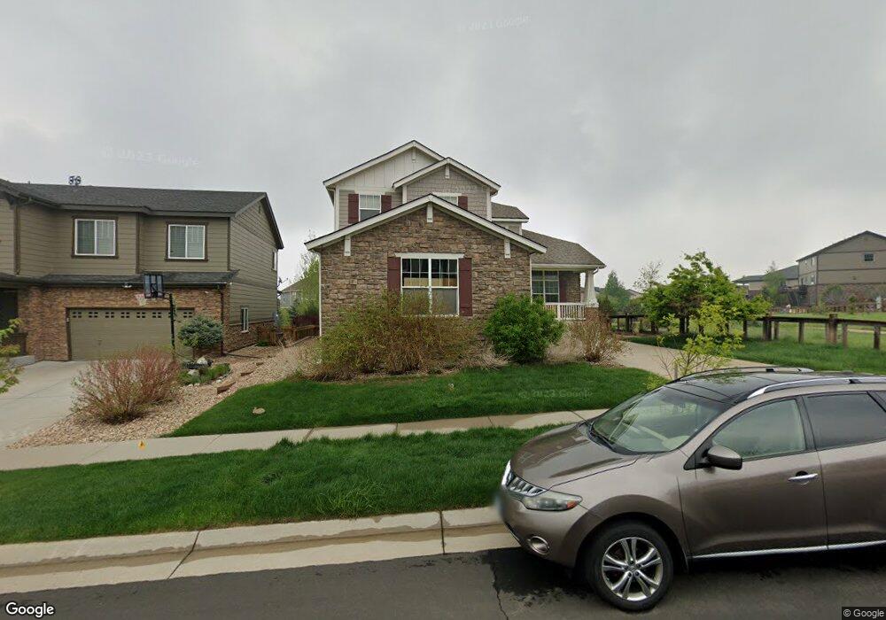
26010 E Davies Dr Aurora, CO 80016
Southeast Aurora NeighborhoodEstimated Value: $643,000 - $682,165
4
Beds
4
Baths
2,622
Sq Ft
$252/Sq Ft
Est. Value
About This Home
This home is located at 26010 E Davies Dr, Aurora, CO 80016 and is currently estimated at $661,041, approximately $252 per square foot. 26010 E Davies Dr is a home located in Arapahoe County with nearby schools including Woodland Elementary School, Fox Ridge Middle School, and Cherokee Trail High School.
Ownership History
Date
Name
Owned For
Owner Type
Purchase Details
Closed on
Nov 21, 2008
Sold by
Doa Properties Ii Llc
Bought by
Adams Margaret Ann
Current Estimated Value
Create a Home Valuation Report for This Property
The Home Valuation Report is an in-depth analysis detailing your home's value as well as a comparison with similar homes in the area
Home Values in the Area
Average Home Value in this Area
Purchase History
| Date | Buyer | Sale Price | Title Company |
|---|---|---|---|
| Adams Margaret Ann | $225,000 | Land Title Guarantee Company |
Source: Public Records
Tax History Compared to Growth
Tax History
| Year | Tax Paid | Tax Assessment Tax Assessment Total Assessment is a certain percentage of the fair market value that is determined by local assessors to be the total taxable value of land and additions on the property. | Land | Improvement |
|---|---|---|---|---|
| 2024 | $4,803 | $42,498 | -- | -- |
| 2023 | $4,803 | $42,498 | $0 | $0 |
| 2022 | $4,033 | $33,777 | $0 | $0 |
| 2021 | $4,036 | $33,777 | $0 | $0 |
| 2020 | $4,310 | $34,484 | $0 | $0 |
| 2019 | $4,148 | $34,484 | $0 | $0 |
| 2018 | $3,295 | $26,417 | $0 | $0 |
| 2017 | $3,353 | $26,417 | $0 | $0 |
| 2016 | $3,406 | $26,229 | $0 | $0 |
| 2015 | $3,299 | $26,229 | $0 | $0 |
| 2014 | $2,549 | $18,842 | $0 | $0 |
| 2013 | -- | $18,450 | $0 | $0 |
Source: Public Records
Map
Nearby Homes
- 25960 E Davies Dr
- 7265 S Millbrook Ct
- 25845 E Dry Creek Place
- 25412 E Quarto Place
- 7234 S Kellerman Way
- 7243 S Kellerman Way
- 26554 E Indore Ave
- 7163 S Shady Grove Ct
- 25808 E Calhoun Place
- 6758 S Riverwood Way
- 26155 E Jamison Cir S
- 25829 E Calhoun Place
- 25338 E Costilla Place
- 26889 E Irish Place
- 7414 S Scottsburg Way
- 7285 S Titus Way
- 2132 S Irvington Ct
- 6915 S Titus St
- 25631 E Indore Dr
- 6946 S Titus St
- 26020 E Davies Dr
- 26030 E Davies Dr
- 7141 S Oak Hill Cir
- 26053 E Fremont Place
- 26073 E Fremont Place
- 26040 E Davies Dr
- 7131 S Oak Hill Cir
- 26009 E Davies Dr
- 7121 S Oak Hill Cir
- 26019 E Davies Dr
- 26093 E Fremont Place
- 7151 S Oak Hill Cir
- 26029 E Davies Dr
- 26050 E Davies Dr
- 26123 E Fremont Place
- 7111 S Oak Hill Cir
- 7161 S Oak Hill Cir
- 26039 E Davies Dr
- 26060 E Davies Dr
- 26049 E Davies Dr