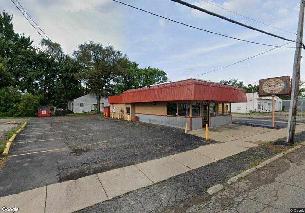
2602 Davison Rd Flint, MI 48506
Eastside NeighborhoodEstimated Value: $115,438
Studio
--
Bath
1,440
Sq Ft
$80/Sq Ft
Est. Value
About This Home
This home is located at 2602 Davison Rd, Flint, MI 48506 and is currently estimated at $115,438, approximately $80 per square foot. 2602 Davison Rd is a home located in Genesee County with nearby schools including Potter School and Flint Cultural Center Academy.
Ownership History
Date
Name
Owned For
Owner Type
Purchase Details
Closed on
Mar 28, 2019
Sold by
Kendy Investments Llc
Bought by
Darnell Ronald
Current Estimated Value
Purchase Details
Closed on
Jun 25, 2013
Sold by
Vannouvong Soikham and Soukamneuth Savajd Jack
Bought by
Kendy Investments Llc
Purchase Details
Closed on
Jun 16, 2004
Sold by
Silver Lawrence B and Joseph M Silver Trust
Bought by
Silver Real Estate Holdings Llc
Purchase Details
Closed on
May 14, 1999
Sold by
Papalois Papalois J and Papalois Maria I
Bought by
Joseph M Silver Trust
Create a Home Valuation Report for This Property
The Home Valuation Report is an in-depth analysis detailing your home's value as well as a comparison with similar homes in the area
Home Values in the Area
Average Home Value in this Area
Purchase History
| Date | Buyer | Sale Price | Title Company |
|---|---|---|---|
| Darnell Ronald | $74,000 | Liberty Title | |
| Kendy Investments Llc | $20,000 | Sargents Title Company | |
| Silver Real Estate Holdings Llc | -- | -- | |
| Joseph M Silver Trust | $80,000 | Greco Title |
Source: Public Records
Tax History Compared to Growth
Tax History
| Year | Tax Paid | Tax Assessment Tax Assessment Total Assessment is a certain percentage of the fair market value that is determined by local assessors to be the total taxable value of land and additions on the property. | Land | Improvement |
|---|---|---|---|---|
| 2025 | $3,672 | $49,400 | $0 | $0 |
| 2024 | $3,326 | $54,100 | $0 | $0 |
| 2023 | $3,196 | $51,500 | $0 | $0 |
| 2022 | $0 | $45,800 | $0 | $0 |
| 2021 | $3,349 | $44,900 | $0 | $0 |
| 2020 | $4,065 | $60,500 | $0 | $0 |
| 2019 | $1,968 | $54,200 | $0 | $0 |
| 2018 | $2,056 | $42,100 | $0 | $0 |
| 2017 | $1,990 | $0 | $0 | $0 |
| 2016 | $1,973 | $0 | $0 | $0 |
| 2015 | -- | $0 | $0 | $0 |
| 2014 | -- | $0 | $0 | $0 |
| 2012 | -- | $27,300 | $0 | $0 |
Source: Public Records
Map
Nearby Homes
- 2601 Illinois Ave
- 2510 Bennett Ave
- 2610 Pennsylvania Ave
- 2211 Torrance St
- 1622 Arlington Ave
- 2301 Missouri Ave
- 2321 Levern St
- 1501 Arlington Ave
- 2605 Nebraska Ave
- 2426 Hoff St
- 1318 Cronk Ave
- 1814 Mabel Ave
- 2506 Arlington Ave
- 1805 Bennett Ave
- 3205 Holly Ave
- 3149 Whittier Ave
- 3213 Holly Ave
- 3116 Beechwood Ave
- 3232 Dale Ave
- 1216 Minnesota Ave
- 1722 N Cumberland St
- 2610 Davison Rd
- 2512 Davison Rd
- 2522 Davison Rd
- 1714 N Cumberland St
- 2622 Davison Rd
- 1717 N Meade St
- 1717 N Cumberland St
- 2617 Davison Rd
- 2535 Davison Rd
- 2621 Davison Rd
- 1709 N Meade St
- 2625 Davison Rd
- 1709 N Cumberland St
- 1701 N Meade St
- 1718 Levern St
- 2610 Churchill Ave
- 1701 N Cumberland St
- 2606 Churchill Ave
- 1714 Levern St