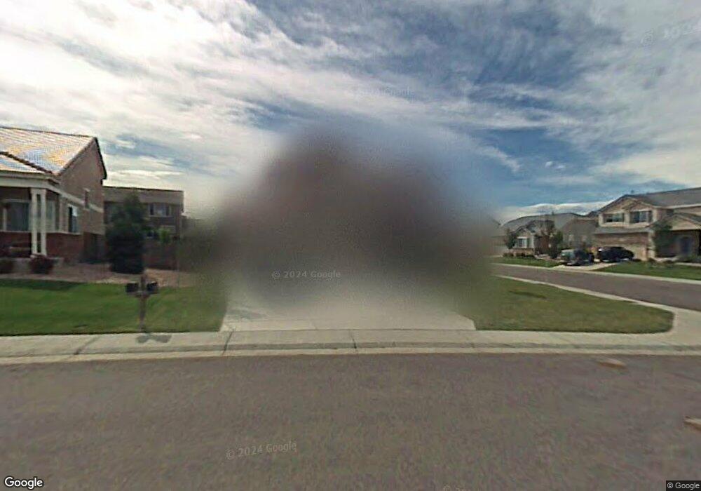
2602 E 137th Ave Thornton, CO 80602
Cherrywood Park NeighborhoodEstimated Value: $617,000 - $671,000
4
Beds
3
Baths
2,455
Sq Ft
$260/Sq Ft
Est. Value
About This Home
This home is located at 2602 E 137th Ave, Thornton, CO 80602 and is currently estimated at $637,141, approximately $259 per square foot. 2602 E 137th Ave is a home located in Adams County with nearby schools including Prairie Hills Elementary School, Rocky Top Middle School, and Horizon High School.
Ownership History
Date
Name
Owned For
Owner Type
Purchase Details
Closed on
May 31, 2022
Sold by
Parks David A
Bought by
Parks Shoni Monea and Smith Jeana Camille
Current Estimated Value
Home Financials for this Owner
Home Financials are based on the most recent Mortgage that was taken out on this home.
Original Mortgage
$450,000
Outstanding Balance
$425,058
Interest Rate
5.11%
Mortgage Type
New Conventional
Estimated Equity
$212,083
Purchase Details
Closed on
Mar 30, 2005
Sold by
Richmond American Homes Of Colorado Inc
Bought by
Parks David A and Parks Shoni M
Home Financials for this Owner
Home Financials are based on the most recent Mortgage that was taken out on this home.
Original Mortgage
$242,226
Interest Rate
5.5%
Mortgage Type
Unknown
Create a Home Valuation Report for This Property
The Home Valuation Report is an in-depth analysis detailing your home's value as well as a comparison with similar homes in the area
Home Values in the Area
Average Home Value in this Area
Purchase History
| Date | Buyer | Sale Price | Title Company |
|---|---|---|---|
| Parks Shoni Monea | -- | Cherry Creek Title Services | |
| Parks David A | $302,800 | -- |
Source: Public Records
Mortgage History
| Date | Status | Borrower | Loan Amount |
|---|---|---|---|
| Open | Parks Shoni Monea | $450,000 | |
| Previous Owner | Parks David A | $242,226 | |
| Closed | Parks David A | $60,557 |
Source: Public Records
Tax History
| Year | Tax Paid | Tax Assessment Tax Assessment Total Assessment is a certain percentage of the fair market value that is determined by local assessors to be the total taxable value of land and additions on the property. | Land | Improvement |
|---|---|---|---|---|
| 2025 | $4,391 | $42,230 | $8,840 | $33,390 |
| 2024 | $4,391 | $38,820 | $8,130 | $30,690 |
| 2023 | $4,346 | $46,130 | $7,980 | $38,150 |
| 2022 | $3,456 | $31,370 | $8,200 | $23,170 |
| 2021 | $3,572 | $31,370 | $8,200 | $23,170 |
| 2020 | $3,706 | $33,220 | $8,440 | $24,780 |
| 2019 | $3,714 | $33,220 | $8,440 | $24,780 |
| 2018 | $3,401 | $29,560 | $7,490 | $22,070 |
| 2017 | $3,093 | $29,560 | $7,490 | $22,070 |
| 2016 | $2,802 | $26,070 | $5,410 | $20,660 |
| 2015 | $2,798 | $26,070 | $5,410 | $20,660 |
| 2014 | -- | $23,260 | $4,460 | $18,800 |
Source: Public Records
Map
Nearby Homes
- 2903 E 136th Place
- 2942 E 135th Place
- 1960 E 135th Place
- 13508 Vine St
- 13876 Milwaukee St
- 13486 Clayton St
- 13337 Elizabeth Ct
- 13966 Milwaukee St
- 2822 Signal Creek Dr
- 13963 Cook St
- 14057 Fillmore Dr
- 13214 Columbine Cir
- 13434 Marion St
- 1981 E 141st Ave
- 13604 Garfield St Unit E
- 13380 Milwaukee Ct
- 58 Blue Heron Dr
- 2746 E 132nd Place
- 13638 Garfield St Unit C
- 3540 E 141st Ave
- 2612 E 137th Ave
- 2601 E 136th Place
- 2611 E 136th Place
- 2601 E 136 Place
- 2622 E 137th Ave
- 13691 Elizabeth St
- 13681 Elizabeth St
- 13701 Elizabeth St
- 2621 E 136th Place
- 2603 E 137th Ave
- 13711 Elizabeth St
- 13671 Elizabeth St
- 2632 E 137th Ave
- 2613 E 137th Ave
- 13721 Elizabeth St
- 2531 E 136th Place
- 2520 E 136th Place
- 2600 E 136th Place
- 13731 Elizabeth St
- 2623 E 137th Ave
Your Personal Tour Guide
Ask me questions while you tour the home.