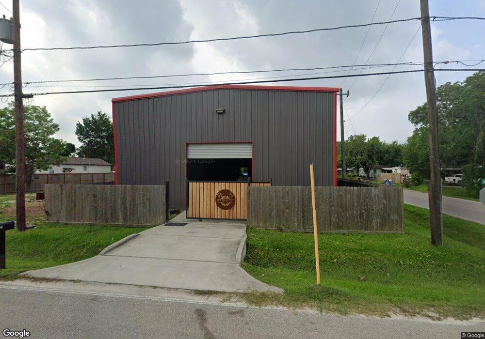
2602 Mierianne St Houston, TX 77093
East Aldine NeighborhoodEstimated Value: $90,200 - $130,000
2
Beds
1
Bath
668
Sq Ft
$169/Sq Ft
Est. Value
About This Home
This home is located at 2602 Mierianne St, Houston, TX 77093 and is currently estimated at $112,800, approximately $168 per square foot. 2602 Mierianne St is a home located in Harris County with nearby schools including Vardeman EC/PK/K, Worsham Elementary School, and Macarthur Ninth Grade School.
Ownership History
Date
Name
Owned For
Owner Type
Purchase Details
Closed on
Apr 7, 2016
Sold by
Vasquez Maria Delcarmen and Iracheta Oscar Vasquez
Bought by
Rios Miguel Angel
Current Estimated Value
Purchase Details
Closed on
Feb 4, 2016
Sold by
Lopez Jesse
Bought by
Vasquez Maria Delacarmen and Iracheta Oscar Vasquez
Purchase Details
Closed on
Jan 29, 2016
Sold by
Ferguson Christopher Lee
Bought by
Lopez Jesse
Purchase Details
Closed on
Nov 5, 1996
Sold by
Turner Donald and Turner Ludie Mae
Bought by
Ferguson Michael Lee
Create a Home Valuation Report for This Property
The Home Valuation Report is an in-depth analysis detailing your home's value as well as a comparison with similar homes in the area
Home Values in the Area
Average Home Value in this Area
Purchase History
| Date | Buyer | Sale Price | Title Company |
|---|---|---|---|
| Rios Miguel Angel | -- | None Available | |
| Vasquez Maria Delacarmen | -- | None Available | |
| Lopez Jesse | -- | None Available | |
| Ferguson Michael Lee | -- | -- |
Source: Public Records
Tax History Compared to Growth
Tax History
| Year | Tax Paid | Tax Assessment Tax Assessment Total Assessment is a certain percentage of the fair market value that is determined by local assessors to be the total taxable value of land and additions on the property. | Land | Improvement |
|---|---|---|---|---|
| 2025 | $1,265 | $65,386 | $31,613 | $33,773 |
| 2024 | $1,265 | $65,386 | $31,613 | $33,773 |
| 2023 | $1,217 | $65,386 | $31,613 | $33,773 |
| 2022 | $1,344 | $65,386 | $31,613 | $33,773 |
| 2021 | $1,409 | $65,386 | $31,613 | $33,773 |
| 2020 | $909 | $40,013 | $31,613 | $8,400 |
| 2019 | $930 | $39,111 | $31,613 | $7,498 |
| 2018 | $289 | $20,094 | $14,753 | $5,341 |
| 2017 | $455 | $20,094 | $14,753 | $5,341 |
| 2016 | $455 | $20,094 | $14,753 | $5,341 |
| 2015 | $448 | $20,094 | $14,753 | $5,341 |
| 2014 | $448 | $20,094 | $14,753 | $5,341 |
Source: Public Records
Map
Nearby Homes
- 2410 Mierianne St
- 2723 Castledale Dr
- 11716 Innsbury Dr
- 11746 Somerset Ln
- 2922 Bertrand St
- 2930 Bertrand St
- 2915 Brea Crest St
- 3111 Hartwick Rd
- 2326 Sunny Dr
- 2306 Wardmont St
- 2311 Warwick Rd
- 3214 Brea Crest St
- 2817 Cromwell St
- 2237 Cromwell St
- 1925 Sunny Dr
- 2131 Warwick Rd
- 2123 Warwick Rd
- 2629 Kowis St
- 2152 William Tell St
- 3418 Hopper Rd
- 2606 Mierianne St
- 2610 Mierianne St
- 2601 Bertrand St
- 2614 Mierianne St
- 2605 Bertrand St
- 2530 Mierianne St
- 2609 Bertrand St
- 2533 Bertrand St
- 2618 Mierianne St
- 2601 Mierianne St
- 2613 Bertrand St
- 2526 Mierianne St
- 2611 Mierianne St
- 2525 Bertrand St
- 2622 Mierianne St
- 2529 Mierianne St
- 2613 Mierianne St
- 2521 Bertrand St
- 2522 Mierianne St
- 2617 Mierianne St