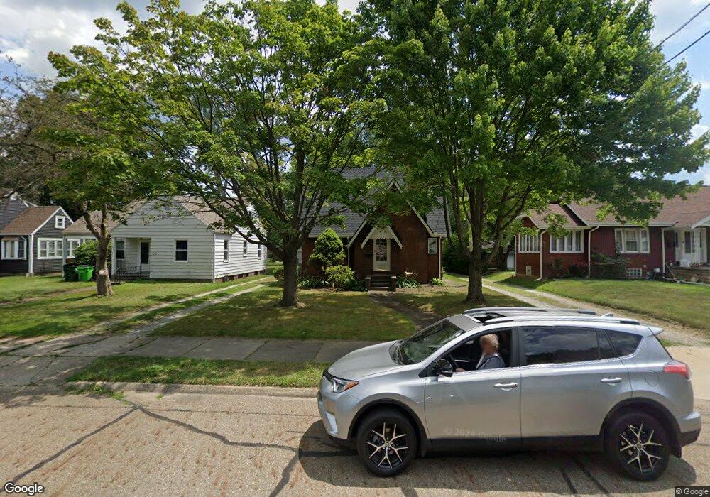
2602 S Freedom Ave Alliance, OH 44601
Estimated Value: $93,000 - $164,000
3
Beds
2
Baths
1,758
Sq Ft
$74/Sq Ft
Est. Value
About This Home
This home is located at 2602 S Freedom Ave, Alliance, OH 44601 and is currently estimated at $130,458, approximately $74 per square foot. 2602 S Freedom Ave is a home located in Stark County with nearby schools including Alliance Elementary School at Rockhill, Alliance Intermediate School at Northside, and Alliance Middle School.
Ownership History
Date
Name
Owned For
Owner Type
Purchase Details
Closed on
Dec 15, 2015
Sold by
Cedarwood Property Management Llc
Bought by
Cedarwood Property Management Ii Llc
Current Estimated Value
Purchase Details
Closed on
Aug 5, 2010
Sold by
Ing Bank Fsb
Bought by
Young Dianne K
Purchase Details
Closed on
Nov 4, 2009
Sold by
Hoaglin Patricia A and Hoaglin Patricia
Bought by
Ing Bank Fsb
Purchase Details
Closed on
May 9, 1994
Create a Home Valuation Report for This Property
The Home Valuation Report is an in-depth analysis detailing your home's value as well as a comparison with similar homes in the area
Home Values in the Area
Average Home Value in this Area
Purchase History
| Date | Buyer | Sale Price | Title Company |
|---|---|---|---|
| Cedarwood Property Management Ii Llc | -- | Attorney | |
| Young Dianne K | $38,200 | Sovereign Title Agency Llc | |
| Ing Bank Fsb | $58,000 | None Available | |
| -- | $63,200 | -- |
Source: Public Records
Tax History Compared to Growth
Tax History
| Year | Tax Paid | Tax Assessment Tax Assessment Total Assessment is a certain percentage of the fair market value that is determined by local assessors to be the total taxable value of land and additions on the property. | Land | Improvement |
|---|---|---|---|---|
| 2025 | -- | $39,420 | $8,440 | $30,980 |
| 2024 | -- | $39,420 | $8,440 | $30,980 |
| 2023 | $1,372 | $33,330 | $6,130 | $27,200 |
| 2022 | $1,381 | $33,330 | $6,130 | $27,200 |
| 2021 | $1,385 | $33,330 | $6,130 | $27,200 |
| 2020 | $1,339 | $30,100 | $5,320 | $24,780 |
| 2019 | $1,321 | $30,100 | $5,320 | $24,780 |
| 2018 | $1,327 | $30,100 | $5,320 | $24,780 |
| 2017 | $1,176 | $26,190 | $4,590 | $21,600 |
| 2016 | $1,125 | $24,860 | $4,590 | $20,270 |
| 2015 | $1,135 | $24,860 | $4,590 | $20,270 |
| 2014 | $1,153 | $24,050 | $4,450 | $19,600 |
| 2013 | $575 | $24,050 | $4,450 | $19,600 |
Source: Public Records
Map
Nearby Homes
- 555 E Milton St
- 2376 S Seneca Ave
- 2408 S Linden Ave
- 2460 S Arch Ave
- 853 Fairway Dr
- 236 E Milton St
- 2218 S Freedom Ave
- 317 E State St
- 1846 S Freedom Ave
- 390 E College St
- 112 E College St
- 815 Grace St
- 1437 S Linden Ave
- 729 Waugh St
- 1475 Chatauqua Ct
- 1395 S Webb Ave
- 551 South St
- 1233 Woodland Ave
- 2839 S Rockhill Ave
- 277 W Carol St
- 2542 S Freedom Ave
- 2610 S Freedom Ave
- 2532 S Freedom Ave
- 2522 S Freedom Ave
- 510 E Milton St
- 538 E Milton St
- 2601 S Seneca Ave
- 2529 S Seneca Ave
- 2541 S Freedom Ave
- 2506 S Freedom Ave
- 2517 S Seneca Ave
- 2611 S Freedom Ave
- 2527 S Freedom Ave
- 550 E Milton St
- 456 E Milton St
- 2513 S Seneca Ave
- 2517 S Freedom Ave
- 560 E Milton St
- 2474 S Freedom Ave
- 2479 S Seneca Ave