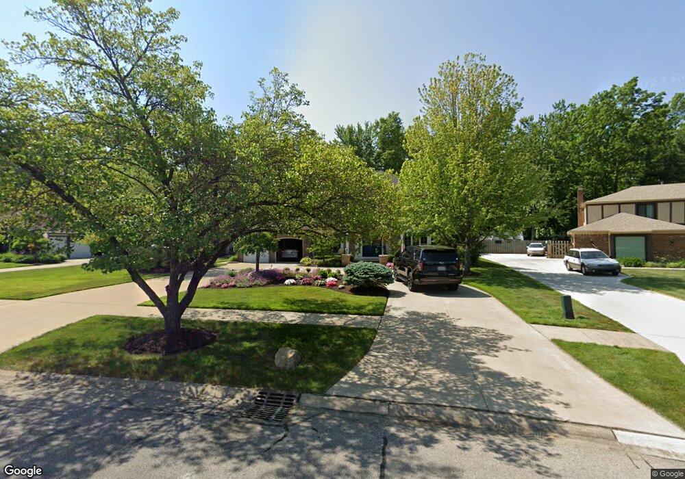
26021 Woodpath Trail Westlake, OH 44145
Estimated Value: $482,287 - $593,000
4
Beds
3
Baths
3,035
Sq Ft
$179/Sq Ft
Est. Value
About This Home
This home is located at 26021 Woodpath Trail, Westlake, OH 44145 and is currently estimated at $543,572, approximately $179 per square foot. 26021 Woodpath Trail is a home located in Cuyahoga County with nearby schools including Pine Intermediate School, Maple Intermediate Elementary School, and North Olmsted Middle School.
Ownership History
Date
Name
Owned For
Owner Type
Purchase Details
Closed on
Sep 15, 1998
Sold by
Forrest David A and Forrest Audrey P
Bought by
Anitas John M and Anitas Lilly L
Current Estimated Value
Home Financials for this Owner
Home Financials are based on the most recent Mortgage that was taken out on this home.
Original Mortgage
$208,000
Outstanding Balance
$44,895
Interest Rate
7.02%
Estimated Equity
$498,677
Purchase Details
Closed on
Jul 17, 1987
Sold by
Witmer Deborah F
Bought by
Foreest David A
Purchase Details
Closed on
Jan 31, 1986
Sold by
Witmer J Michael
Bought by
Witmer Deborah F
Purchase Details
Closed on
Aug 7, 1985
Sold by
Dennison T Carol
Bought by
Witmer J Michael
Purchase Details
Closed on
Jul 28, 1982
Bought by
Dennison T Carol
Purchase Details
Closed on
Jan 1, 1981
Bought by
Hickory Hills Bldg Co
Create a Home Valuation Report for This Property
The Home Valuation Report is an in-depth analysis detailing your home's value as well as a comparison with similar homes in the area
Home Values in the Area
Average Home Value in this Area
Purchase History
| Date | Buyer | Sale Price | Title Company |
|---|---|---|---|
| Anitas John M | $260,000 | Rockwell Title Agency Inc | |
| Foreest David A | $187,000 | -- | |
| Witmer Deborah F | -- | -- | |
| Witmer J Michael | $164,900 | -- | |
| Dennison T Carol | $131,400 | -- | |
| Hickory Hills Bldg Co | -- | -- |
Source: Public Records
Mortgage History
| Date | Status | Borrower | Loan Amount |
|---|---|---|---|
| Open | Anitas John M | $208,000 |
Source: Public Records
Tax History Compared to Growth
Tax History
| Year | Tax Paid | Tax Assessment Tax Assessment Total Assessment is a certain percentage of the fair market value that is determined by local assessors to be the total taxable value of land and additions on the property. | Land | Improvement |
|---|---|---|---|---|
| 2024 | $7,818 | $165,025 | $23,765 | $141,260 |
| 2023 | $7,028 | $126,840 | $24,990 | $101,850 |
| 2022 | $6,916 | $126,840 | $24,990 | $101,850 |
| 2021 | $6,925 | $126,840 | $24,990 | $101,850 |
| 2020 | $6,989 | $117,430 | $23,140 | $94,290 |
| 2019 | $6,776 | $335,500 | $66,100 | $269,400 |
| 2018 | $6,729 | $117,430 | $23,140 | $94,290 |
| 2017 | $6,724 | $109,100 | $18,940 | $90,160 |
| 2016 | $6,688 | $109,100 | $18,940 | $90,160 |
| 2015 | $6,614 | $109,100 | $18,940 | $90,160 |
| 2014 | $6,614 | $105,920 | $18,380 | $87,540 |
Source: Public Records
Map
Nearby Homes
- 3844 Woodpath Trail
- 25775 Briarwood Ct
- 3595 Canterbury Rd
- 26454 Strawberry Ln
- 26716 Chapel Hill Dr
- 26910 Sudbury Dr
- 26646 Sweetbriar Dr
- 3781 Dover Center Rd
- 25148 Tara Lynn Dr
- 4429 Canterbury Rd
- 27120 Rose Rd
- 25077 Doe Dr
- 25400 Maple Ridge Rd
- 25255 Maple Ridge Rd
- 25360 Hall Dr
- 24758 Doe Dr
- 25324 Hall Dr
- 26726 Leenders Ln
- 4187 Columbia Rd Unit 126
- 27504 Cottonwood Trail
- 26003 Woodpath Trail
- 26039 Woodpath Trail
- 25985 Woodpath Trail
- 26020 Woodpath Trail
- 26002 Woodpath Trail
- 25967 Woodpath Trail
- 25984 Woodpath Trail
- 3836 Woodpath Trail
- 25949 Woodpath Trail
- 3825 Woodpath Trail
- 25966 Woodpath Trail
- 3828 Woodpath Trail
- 25933 Woodpath Trail
- 25948 Woodpath Trail
- 3817 Woodpath Trail
- 3861 Canterbury Rd
- 3820 Woodpath Trail
- 25930 Woodpath Trail
- 25913 Woodpath Trail
- 3745 Cinnamon Way