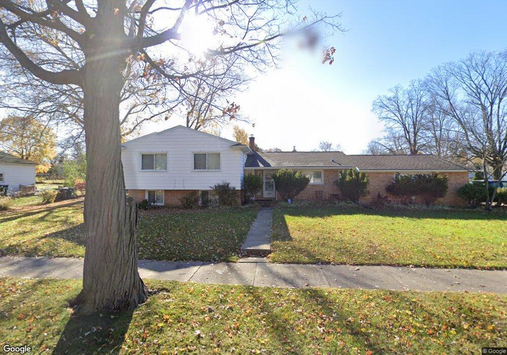
2603 Belaire Dr Lansing, MI 48911
Lewton Rich NeighborhoodEstimated Value: $240,000 - $266,028
--
Bed
2
Baths
2,221
Sq Ft
$115/Sq Ft
Est. Value
About This Home
This home is located at 2603 Belaire Dr, Lansing, MI 48911 and is currently estimated at $255,007, approximately $114 per square foot. 2603 Belaire Dr is a home located in Ingham County with nearby schools including Averill Elementary School, Attwood School, and J.W. Sexton High School.
Ownership History
Date
Name
Owned For
Owner Type
Purchase Details
Closed on
Sep 30, 2002
Sold by
Titus Rebecca and Rose Lucinda
Bought by
Woolard Marsha L
Current Estimated Value
Home Financials for this Owner
Home Financials are based on the most recent Mortgage that was taken out on this home.
Original Mortgage
$125,600
Outstanding Balance
$53,157
Interest Rate
6.29%
Mortgage Type
Purchase Money Mortgage
Estimated Equity
$201,850
Purchase Details
Closed on
Apr 3, 1998
Sold by
Vanvlerah Morris L and Vanvlerah Harriet M
Bought by
Vanvlerah Harriet and Vanvlerah Rebecca
Create a Home Valuation Report for This Property
The Home Valuation Report is an in-depth analysis detailing your home's value as well as a comparison with similar homes in the area
Home Values in the Area
Average Home Value in this Area
Purchase History
| Date | Buyer | Sale Price | Title Company |
|---|---|---|---|
| Woolard Marsha L | $125,600 | Transnation Title | |
| Vanvlerah Harriet | -- | -- |
Source: Public Records
Mortgage History
| Date | Status | Borrower | Loan Amount |
|---|---|---|---|
| Open | Woolard Marsha L | $125,600 |
Source: Public Records
Tax History Compared to Growth
Tax History
| Year | Tax Paid | Tax Assessment Tax Assessment Total Assessment is a certain percentage of the fair market value that is determined by local assessors to be the total taxable value of land and additions on the property. | Land | Improvement |
|---|---|---|---|---|
| 2025 | $4,167 | $127,500 | $16,800 | $110,700 |
| 2024 | $33 | $114,500 | $16,800 | $97,700 |
| 2023 | $3,905 | $100,700 | $16,800 | $83,900 |
| 2022 | $3,517 | $88,400 | $14,600 | $73,800 |
| 2021 | $3,444 | $81,500 | $13,500 | $68,000 |
| 2020 | $3,423 | $78,300 | $13,500 | $64,800 |
| 2019 | $3,284 | $70,800 | $13,500 | $57,300 |
| 2018 | $3,075 | $61,800 | $13,500 | $48,300 |
| 2017 | $2,874 | $61,800 | $13,500 | $48,300 |
| 2016 | $2,749 | $54,300 | $13,500 | $40,800 |
| 2015 | $2,749 | $51,000 | $26,923 | $24,077 |
| 2014 | $2,749 | $49,300 | $26,923 | $22,377 |
Source: Public Records
Map
Nearby Homes
- 2505 Hanover Dr
- 2200 Rossiter Place
- 2201 Pamela Place
- 1533 Cambridge Rd
- 2710 Bedford Rd
- 2409 Victor Ave
- 3310 W Mount Hope Ave
- 2812 Pleasant Grove Rd
- 2920 Pleasant Grove Rd Unit 1
- 3333 Moores River Dr Unit 812
- 1740 Wellington Rd Unit 103
- 2905 S Catherine St
- 2039 Holly Way
- 3508 Muirfield Dr
- 3421 Troon Cir Unit 29
- 3425 Cooley Dr
- 3601 Muirfield Dr
- 3214 Gingersnap Ln
- 3125 Boston Blvd
- 3510 Christine Dr
- 2009 Edwin Place
- 2519 Belaire Dr
- 2606 Belaire Dr
- 2017 Edwin Place
- 2004 Edwin Place
- 2518 Belaire Dr
- 2511 Belaire Dr
- 2028 Wellesley Dr
- 2010 Edwin Place
- 1909 Edwin Place
- 2512 Belaire Dr
- 2101 Edwin Place
- 2700 Belaire Dr
- 2016 Edwin Place
- 2709 Belaire Dr
- 2501 Belaire Dr
- 2026 Wellesley Dr
- 2100 Edwin Place
- 2100 Wellesley Dr
- 2506 Belaire Dr