2603 Maple Brook Rd Bellingham, MA 02019
Estimated Value: $522,241 - $555,000
2
Beds
3
Baths
2,050
Sq Ft
$262/Sq Ft
Est. Value
About This Home
This home is located at 2603 Maple Brook Rd, Bellingham, MA 02019 and is currently estimated at $536,560, approximately $261 per square foot. 2603 Maple Brook Rd is a home located in Norfolk County with nearby schools including Stall Brook Elementary School, Bellingham High School, and Bethany Christian Academy.
Ownership History
Date
Name
Owned For
Owner Type
Purchase Details
Closed on
Mar 28, 2003
Sold by
Longview Rt and Terrill Richard E
Bought by
Shane Leslie R
Current Estimated Value
Home Financials for this Owner
Home Financials are based on the most recent Mortgage that was taken out on this home.
Original Mortgage
$299,100
Outstanding Balance
$130,000
Interest Rate
5.91%
Mortgage Type
Purchase Money Mortgage
Estimated Equity
$406,560
Create a Home Valuation Report for This Property
The Home Valuation Report is an in-depth analysis detailing your home's value as well as a comparison with similar homes in the area
Home Values in the Area
Average Home Value in this Area
Purchase History
| Date | Buyer | Sale Price | Title Company |
|---|---|---|---|
| Shane Leslie R | $314,850 | -- |
Source: Public Records
Mortgage History
| Date | Status | Borrower | Loan Amount |
|---|---|---|---|
| Open | Shane Leslie R | $299,100 |
Source: Public Records
Tax History Compared to Growth
Tax History
| Year | Tax Paid | Tax Assessment Tax Assessment Total Assessment is a certain percentage of the fair market value that is determined by local assessors to be the total taxable value of land and additions on the property. | Land | Improvement |
|---|---|---|---|---|
| 2025 | $5,509 | $438,600 | $0 | $438,600 |
| 2024 | $5,486 | $426,600 | $0 | $426,600 |
| 2023 | $5,041 | $386,300 | $0 | $386,300 |
| 2022 | $4,737 | $336,400 | $0 | $336,400 |
| 2021 | $4,693 | $325,700 | $0 | $325,700 |
| 2020 | $4,735 | $333,000 | $0 | $333,000 |
| 2019 | $4,256 | $299,500 | $0 | $299,500 |
| 2018 | $4,237 | $294,000 | $0 | $294,000 |
| 2017 | $4,085 | $284,900 | $0 | $284,900 |
| 2016 | $3,891 | $272,300 | $0 | $272,300 |
| 2015 | $3,880 | $272,300 | $0 | $272,300 |
| 2014 | $3,936 | $268,500 | $0 | $268,500 |
Source: Public Records
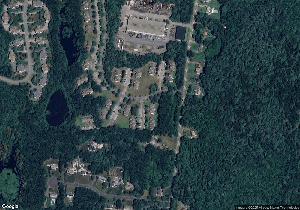
Map
Nearby Homes
- 203 Old Bridge Ln Unit 203
- 1501 Old Bridge Ln Unit 1501
- 1303 Old Bridge Ln Unit 1303
- 501 Old Bridge Ln Unit 501
- 106 Maple Brook Rd Unit 106
- 7 Debra Ln
- 9 Debra Ln
- 5 Debra Ln
- 2 Connor Ln
- 1136 S Main St
- 11 Silver Ave
- 89 Lakeview Ave
- 19 Geordan Ave
- 52 James St
- 46 Douglas Dr
- 20 Bertine St
- 975 S Main St
- 14 Stonehedge Rd
- 38 Stonehedge Rd
- 109 Stone Ridge Rd Unit 109
- 2604 Maple Brook Rd
- 2602 Maple Brook Rd
- 2601 Maple Brook Rd
- 2204 Old Bridge Ln
- 2203 Old Bridge Ln
- 2201 Old Bridge Ln
- 2204 Old Bridge Ln Unit 2204
- 2204 Old Bridge Ln Unit D
- 2704 Maple Brook Rd
- 2703 Maple Brook Rd
- 2702 Maple Brook Rd
- 2701 Maple Brook Rd
- 2704 Maple Brook Rd Unit 2704
- 3504 Maple Brook Rd
- 3503 Maple Brook Rd
- 3502 Maple Brook Rd
- 3501 Maple Brook Rd
- 3504 Maple Brook Rd Unit 3504
- 2104 Old Bridge Ln
- 2103 Old Bridge Ln