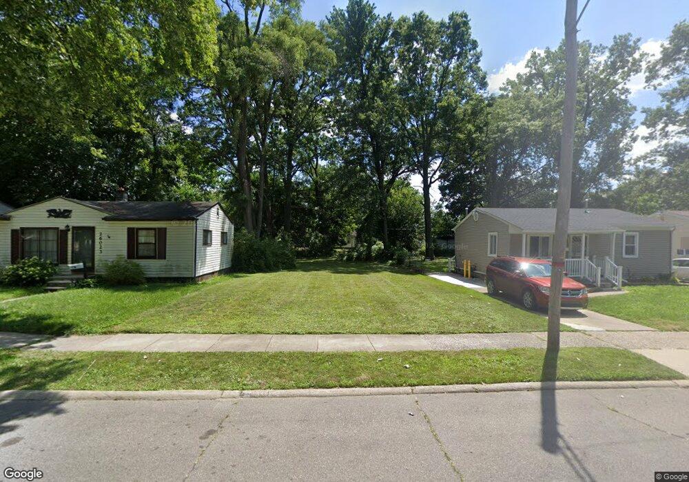
26033 Dartmouth St Inkster, MI 48141
Estimated Value: $28,000 - $73,000
--
Bed
1
Bath
696
Sq Ft
$73/Sq Ft
Est. Value
About This Home
This home is located at 26033 Dartmouth St, Inkster, MI 48141 and is currently estimated at $50,500, approximately $72 per square foot. 26033 Dartmouth St is a home located in Wayne County with nearby schools including West Village Academy and Peterson-Warren Academy.
Ownership History
Date
Name
Owned For
Owner Type
Purchase Details
Closed on
Aug 19, 2015
Sold by
The City Of Inkster
Bought by
Michigan Land Bank Fast Track Authority
Current Estimated Value
Purchase Details
Closed on
Jul 1, 2015
Sold by
Wayne County Treasurer
Bought by
City Of Inkster Treasurer
Purchase Details
Closed on
Feb 24, 2014
Sold by
Sierra Palms Properties Llc
Bought by
Johnson Monroe Leondra
Purchase Details
Closed on
Nov 22, 2011
Sold by
Wayne County Treasurer
Bought by
Sierra Palms Properties Llc
Create a Home Valuation Report for This Property
The Home Valuation Report is an in-depth analysis detailing your home's value as well as a comparison with similar homes in the area
Home Values in the Area
Average Home Value in this Area
Purchase History
| Date | Buyer | Sale Price | Title Company |
|---|---|---|---|
| Michigan Land Bank Fast Track Authority | -- | None Available | |
| City Of Inkster Treasurer | -- | None Available | |
| Johnson Monroe Leondra | -- | None Available | |
| Sierra Palms Properties Llc | $1,202 | None Available |
Source: Public Records
Tax History Compared to Growth
Tax History
| Year | Tax Paid | Tax Assessment Tax Assessment Total Assessment is a certain percentage of the fair market value that is determined by local assessors to be the total taxable value of land and additions on the property. | Land | Improvement |
|---|---|---|---|---|
| 2025 | -- | $0 | $0 | $0 |
| 2024 | -- | $0 | $0 | $0 |
| 2023 | $457 | $0 | $0 | $0 |
| 2022 | $457 | $0 | $0 | $0 |
| 2021 | $805 | $0 | $0 | $0 |
| 2020 | $605 | $0 | $0 | $0 |
| 2019 | $1,176 | $0 | $0 | $0 |
| 2018 | $344 | $0 | $0 | $0 |
| 2017 | $1,050 | $0 | $0 | $0 |
| 2016 | $1,050 | $0 | $0 | $0 |
| 2015 | $1,050 | $10,500 | $0 | $0 |
| 2013 | $1,320 | $13,200 | $0 | $0 |
| 2012 | $1,036 | $14,500 | $1,700 | $12,800 |
Source: Public Records
Map
Nearby Homes
- 25866 Andover St
- 0000 Ross Ross St
- 26202 Colgate St
- 26231 Andover St
- 26159 Stanford St
- 26206 Kitch St
- 26419 Carlysle St
- 25895 Annapolis St
- 4110 John Daly St
- 26653 Ross St
- 26458 Hopkins St
- 26439 Hopkins St
- 25716 Notre Dame St
- 26225 McDonald St
- 26773 Colgate St
- 26860 Andover St
- 25243 Lehigh St
- 25474 McDonald St
- 25452 Notre Dame St
- 25212 Lehigh St
- 26043 Dartmouth St
- 26023 Dartmouth St
- 26053 Dartmouth St
- 26011 Dartmouth St
- 26063 Dartmouth St
- 26001 Dartmouth St
- 26073 Dartmouth St
- 26048 Andover St
- 25963 Dartmouth St
- 26024 Andover St
- 26060 Andover St
- 26014 Andover St
- 26040 Dartmouth St
- 26060 Dartmouth St
- 26072 Andover St
- 25953 Dartmouth St
- 26006 Dartmouth St
- 25998 Dartmouth St
- 25990 Dartmouth St
- 25929 Dartmouth St