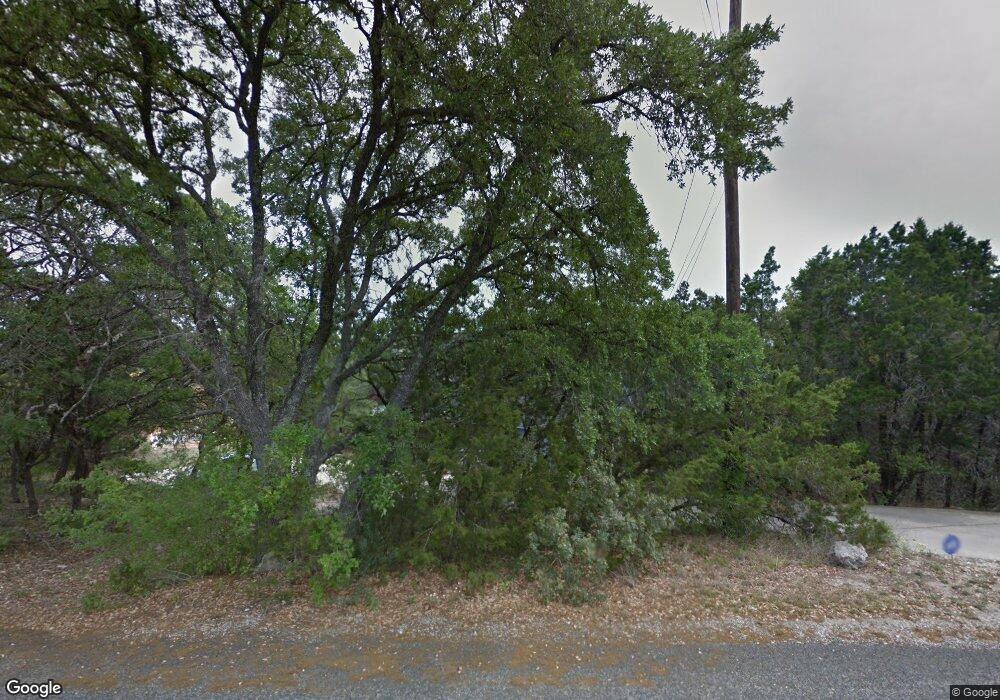
26034 Dull Knife Trail San Antonio, TX 78255
Cedar Creek NeighborhoodEstimated Value: $470,000 - $661,000
3
Beds
3
Baths
2,262
Sq Ft
$248/Sq Ft
Est. Value
About This Home
This home is located at 26034 Dull Knife Trail, San Antonio, TX 78255 and is currently estimated at $561,834, approximately $248 per square foot. 26034 Dull Knife Trail is a home located in Bexar County with nearby schools including Dr. Sara B. McAndrew Elementary School, Rawlinson Middle School, and Clark High School.
Ownership History
Date
Name
Owned For
Owner Type
Purchase Details
Closed on
Jun 20, 2006
Sold by
Belden Mark
Bought by
Piel Ryan S
Current Estimated Value
Home Financials for this Owner
Home Financials are based on the most recent Mortgage that was taken out on this home.
Original Mortgage
$162,320
Outstanding Balance
$95,057
Interest Rate
6.5%
Mortgage Type
Purchase Money Mortgage
Estimated Equity
$466,777
Purchase Details
Closed on
May 17, 2001
Sold by
Donnelly Barbara
Bought by
Belden Mark
Home Financials for this Owner
Home Financials are based on the most recent Mortgage that was taken out on this home.
Original Mortgage
$151,810
Interest Rate
6.99%
Mortgage Type
Stand Alone First
Create a Home Valuation Report for This Property
The Home Valuation Report is an in-depth analysis detailing your home's value as well as a comparison with similar homes in the area
Home Values in the Area
Average Home Value in this Area
Purchase History
| Date | Buyer | Sale Price | Title Company |
|---|---|---|---|
| Piel Ryan S | -- | Lalt | |
| Belden Mark | -- | -- |
Source: Public Records
Mortgage History
| Date | Status | Borrower | Loan Amount |
|---|---|---|---|
| Open | Piel Ryan S | $162,320 | |
| Previous Owner | Belden Mark | $151,810 |
Source: Public Records
Tax History Compared to Growth
Tax History
| Year | Tax Paid | Tax Assessment Tax Assessment Total Assessment is a certain percentage of the fair market value that is determined by local assessors to be the total taxable value of land and additions on the property. | Land | Improvement |
|---|---|---|---|---|
| 2025 | $5,519 | $429,245 | $126,410 | $367,230 |
| 2024 | $5,519 | $390,223 | $126,410 | $327,530 |
| 2023 | $5,519 | $354,748 | $112,990 | $330,010 |
| 2022 | $6,403 | $322,498 | $93,790 | $332,800 |
| 2021 | $6,040 | $293,180 | $89,230 | $203,950 |
| 2020 | $6,122 | $290,870 | $73,310 | $217,560 |
| 2019 | $6,289 | $288,930 | $73,310 | $215,620 |
| 2018 | $6,198 | $284,670 | $66,430 | $218,240 |
| 2017 | $5,891 | $269,750 | $66,430 | $203,320 |
| 2016 | $5,925 | $271,270 | $66,430 | $204,840 |
| 2015 | $5,659 | $274,400 | $66,430 | $207,970 |
| 2014 | $5,659 | $264,830 | $0 | $0 |
Source: Public Records
Map
Nearby Homes
- 9831 Rebel Queen
- 25919 Dull Knife Trail
- 25627 Dull Knife Trail
- 25615 Dull Knife Trail
- 25703 Rosey Way
- 25743 Rosey Way
- 25738 Rosey Way
- 25746 Rosey Way
- 25723 Rosey Way
- 25735 Rosey Way
- 25715 Rosey Way
- 25751 Rosey Way
- 25719 Rosey Way
- 25734 Rosey Way
- The Hughes (841) Plan at Scenic Crest - Premier Series
- The Reynolds (890) Plan at Scenic Crest - Premier Series
- The Rio Grande (3010) Plan at Scenic Crest - Premier Series
- The Matador (870) Plan at Scenic Crest - Premier Series
- The McCoy (860) Plan at Scenic Crest - Premier Series
- The Callaghan (830) Plan at Scenic Crest - Premier Series
- 26042 Dull Knife Trail
- 26018 Dull Knife Trail
- 26102 Mark Osborne St
- 26010 Dull Knife Trail
- 26058 Dull Knife Trail
- 26055 Dull Knife Trail
- 26059 Dull Knife Trail
- 26011 Party Slippers Dr
- 26111 Mark Osborne St
- 25942 Mahogony Trail
- 26002 Dull Knife Trail
- 26023 Party Slippers Dr
- 26065 Dull Knife Trail
- 26074 Dull Knife Trail
- 26003 Party Slippers Dr
- 25958 Mahogony Trail
- 26128 Mark Osborne St
- 26019 Party Slipper Unit 9
- 26031 Party Slippers Dr
- 26016 Party Slippers Dr
