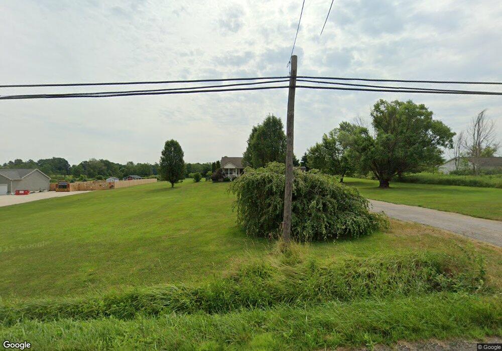
2604 State Route 44 Rootstown, OH 44272
Estimated Value: $309,615 - $397,000
3
Beds
2
Baths
1,544
Sq Ft
$216/Sq Ft
Est. Value
About This Home
This home is located at 2604 State Route 44, Rootstown, OH 44272 and is currently estimated at $333,904, approximately $216 per square foot. 2604 State Route 44 is a home located in Portage County with nearby schools including Waterloo Elementary School, Waterloo Middle School, and Waterloo High School.
Ownership History
Date
Name
Owned For
Owner Type
Purchase Details
Closed on
Mar 16, 2013
Sold by
Smith Gary A
Bought by
Smith Gary A and Smith Connie S
Current Estimated Value
Purchase Details
Closed on
Jan 22, 2004
Sold by
Schalmo Builders Inc
Bought by
Smith Gary A
Home Financials for this Owner
Home Financials are based on the most recent Mortgage that was taken out on this home.
Original Mortgage
$134,100
Outstanding Balance
$60,297
Interest Rate
5.91%
Mortgage Type
Purchase Money Mortgage
Estimated Equity
$273,607
Create a Home Valuation Report for This Property
The Home Valuation Report is an in-depth analysis detailing your home's value as well as a comparison with similar homes in the area
Purchase History
| Date | Buyer | Sale Price | Title Company |
|---|---|---|---|
| Smith Gary A | -- | None Available | |
| Smith Gary A | $149,000 | Quest Title Agency Inc |
Source: Public Records
Mortgage History
| Date | Status | Borrower | Loan Amount |
|---|---|---|---|
| Open | Smith Gary A | $134,100 |
Source: Public Records
Tax History
| Year | Tax Paid | Tax Assessment Tax Assessment Total Assessment is a certain percentage of the fair market value that is determined by local assessors to be the total taxable value of land and additions on the property. | Land | Improvement |
|---|---|---|---|---|
| 2025 | $4,048 | $102,940 | $14,000 | $88,940 |
| 2024 | $3,964 | $102,940 | $14,000 | $88,940 |
| 2023 | $3,271 | $72,310 | $10,780 | $61,530 |
| 2022 | $3,352 | $72,310 | $10,780 | $61,530 |
| 2021 | $3,360 | $72,310 | $10,780 | $61,530 |
| 2020 | $2,791 | $62,060 | $10,780 | $51,280 |
| 2019 | $2,811 | $62,060 | $10,780 | $51,280 |
| 2018 | $2,435 | $53,590 | $8,090 | $45,500 |
| 2017 | $2,435 | $53,590 | $8,090 | $45,500 |
| 2016 | $2,429 | $53,590 | $8,090 | $45,500 |
| 2015 | $2,457 | $53,590 | $8,090 | $45,500 |
| 2014 | $2,414 | $51,000 | $8,090 | $42,910 |
| 2013 | $2,339 | $51,000 | $8,090 | $42,910 |
Source: Public Records
Map
Nearby Homes
- 3021 Hartville Rd
- 3637 Old Forge Rd
- 3583 Randolph Rd
- 4958 Bassett Rd
- 4324 Abbey Ln
- 3080 Saxe Rd
- 0 Waterloo Rd
- 1583 Ohio 44
- 3701 State Route 44
- 3689 Cherry Hill
- 4079 Siefer Dr
- 3981 March Creek Ln Unit 37
- 1026 Hartville Rd N
- 4200 Hattrick Rd
- V/L 2 Lynn Rd
- V/L Lynn Rd
- 642 Horning Rd
- 4556 Rootstown Rd
- 724 New Milford Rd
- 1078 Aberagg Rd
- 2564 State Route 44
- 2624 State Route 44
- 2607 State Route 44
- 2564 Ohio 44
- Lot 95 State Route 44 (2 5 Ac)
- 2561 State Route 44
- 2571 State Route 44
- 2670 State Route 44
- 2701 State Route 44
- 2479 State Route 44
- V/L Bassett Rd
- 85 & 95 State Route 44 (112 74 Ac)
- 3951 Bassett Rd
- 2702 State Route 44
- 2477 State Route 44
- 2462 State Route 44
- 3921 Bassett Rd
- 2736 State Route 44
- 3905 Bassett Rd
- 3891 Bassett Rd
Your Personal Tour Guide
Ask me questions while you tour the home.