26040 Perrin Rd Sturgis, MI 49091
Estimated Value: $455,000 - $765,120
--
Bed
--
Bath
1,820
Sq Ft
$335/Sq Ft
Est. Value
About This Home
This home is located at 26040 Perrin Rd, Sturgis, MI 49091 and is currently estimated at $610,060, approximately $335 per square foot. 26040 Perrin Rd is a home located in St. Joseph County with nearby schools including Centreville Elementary School, Centreville Junior/Senior High School, and Lake Area Christian School.
Ownership History
Date
Name
Owned For
Owner Type
Purchase Details
Closed on
Oct 15, 1999
Current Estimated Value
Purchase Details
Closed on
May 27, 1999
Sold by
Patterson
Bought by
Blomquist
Purchase Details
Closed on
Nov 4, 1998
Purchase Details
Closed on
Nov 13, 1997
Purchase Details
Closed on
Oct 20, 1997
Create a Home Valuation Report for This Property
The Home Valuation Report is an in-depth analysis detailing your home's value as well as a comparison with similar homes in the area
Home Values in the Area
Average Home Value in this Area
Purchase History
| Date | Buyer | Sale Price | Title Company |
|---|---|---|---|
| -- | -- | -- | |
| Blomquist | -- | -- | |
| -- | -- | -- | |
| -- | -- | -- | |
| -- | -- | -- |
Source: Public Records
Tax History Compared to Growth
Tax History
| Year | Tax Paid | Tax Assessment Tax Assessment Total Assessment is a certain percentage of the fair market value that is determined by local assessors to be the total taxable value of land and additions on the property. | Land | Improvement |
|---|---|---|---|---|
| 2025 | $4,848 | $384,300 | $238,300 | $146,000 |
| 2024 | $1,754 | $354,700 | $208,400 | $146,300 |
| 2023 | $1,672 | $316,300 | $135,400 | $180,900 |
| 2022 | $0 | $249,300 | $91,600 | $157,700 |
| 2021 | $2,607 | $221,100 | $85,700 | $135,400 |
| 2020 | $1,524 | $221,000 | $84,900 | $136,100 |
| 2019 | $1,495 | $205,000 | $84,900 | $120,100 |
| 2018 | $6,247 | $194,900 | $84,900 | $110,000 |
| 2017 | $6,085 | $194,000 | $194,000 | $0 |
| 2016 | -- | $194,600 | $194,600 | $0 |
| 2015 | -- | $181,900 | $0 | $0 |
| 2014 | -- | $180,100 | $180,100 | $0 |
| 2012 | -- | $158,200 | $158,200 | $0 |
Source: Public Records
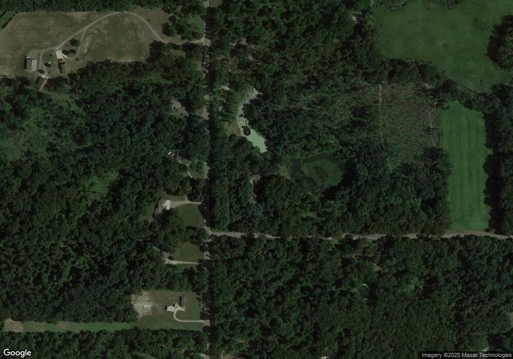
Map
Nearby Homes
- V/L Banker St
- 61704 Crystal Beach Dr
- 61672 Crystal Beach Dr
- 61984 Bayshore Dr
- 0 V L M66- 102+ - Unit 24045986
- 25722 Rainbow Dr
- 0 Rainbow Dr
- 65289 Balk Rd
- 60584 Wallman Dr
- 28195 Blackberry Ln
- 23974 Findley Rd
- 27810 Maystead Rd
- V/L White Pine Dr
- 61570 Raintree Blvd
- V/L Raintree Blvd
- 66109 Hideaway Ln
- 128 V/L Island Hills Dr
- 66223 Grey Lake Rd
- 28123 Timberly Dr
- 0 N Centerville Rd
- 63080 Nottawa Rd
- 63026 Nottawa Rd
- 26140 Perrin Rd
- 63226 Nottawa Rd
- 63253 Nottawa Rd
- 63162 Nottawa Rd
- 63170 Nottawa Rd
- 63168 Nottawa Rd
- 63357 Nottawa Rd
- 63294 Nottawa Rd
- 63421 Nottawa Rd
- 62790 Nottawa Rd
- 62797 Nottawa Rd
- 63473 Nottawa Rd
- 26179 Perrin Rd
- 26179 Perrin Rd
- 62938 Nottawa Rd
- 26149 Perrin Rd
- 62856 Nottawa Rd
- 62902 Nottawa Rd