2605 Braddock Rd Mount Airy, MD 21771
Estimated Value: $643,000 - $734,213
--
Bed
3
Baths
2,306
Sq Ft
$295/Sq Ft
Est. Value
About This Home
This home is located at 2605 Braddock Rd, Mount Airy, MD 21771 and is currently estimated at $679,303, approximately $294 per square foot. 2605 Braddock Rd is a home located in Carroll County with nearby schools including Winfield Elementary School, Mount Airy Middle School, and South Carroll High School.
Ownership History
Date
Name
Owned For
Owner Type
Purchase Details
Closed on
May 8, 2025
Sold by
Ruth Emily Shaw Revocable Living Trust and Shaw Ronald Upton
Bought by
Shaw Randall Boyd
Current Estimated Value
Purchase Details
Closed on
Feb 11, 2025
Sold by
Shaw Robert Lee
Bought by
Shaw Randall B
Purchase Details
Closed on
Sep 8, 2006
Sold by
Shaw Ruth E
Bought by
Shaw Ruth Emily
Purchase Details
Closed on
Aug 21, 2006
Sold by
Shaw Ruth E
Bought by
Shaw Ruth Emily
Purchase Details
Closed on
Aug 12, 2004
Sold by
Shaw Robert L
Bought by
Shaw Ruth Emily
Purchase Details
Closed on
May 15, 1997
Sold by
Shaw Robert L and Shaw Wf
Bought by
Shaw Robert L and Shaw Ruth E
Create a Home Valuation Report for This Property
The Home Valuation Report is an in-depth analysis detailing your home's value as well as a comparison with similar homes in the area
Home Values in the Area
Average Home Value in this Area
Purchase History
| Date | Buyer | Sale Price | Title Company |
|---|---|---|---|
| Shaw Randall Boyd | -- | None Listed On Document | |
| Shaw Randall Boyd | -- | None Listed On Document | |
| Shaw Randall B | -- | None Listed On Document | |
| Shaw Randall B | -- | None Listed On Document | |
| Shaw Ruth Emily | -- | -- | |
| Shaw Ruth Emily | -- | -- | |
| Shaw Ruth Emily | -- | -- | |
| Shaw Robert L | -- | -- |
Source: Public Records
Tax History Compared to Growth
Tax History
| Year | Tax Paid | Tax Assessment Tax Assessment Total Assessment is a certain percentage of the fair market value that is determined by local assessors to be the total taxable value of land and additions on the property. | Land | Improvement |
|---|---|---|---|---|
| 2025 | $7,089 | $686,000 | $0 | $0 |
| 2024 | $7,089 | $622,300 | $295,600 | $326,700 |
| 2023 | $6,835 | $605,033 | $0 | $0 |
| 2022 | $6,642 | $587,767 | $0 | $0 |
| 2021 | $13,133 | $570,500 | $235,600 | $334,900 |
| 2020 | $6,449 | $570,500 | $235,600 | $334,900 |
| 2019 | $6,507 | $570,500 | $235,600 | $334,900 |
| 2018 | $6,613 | $585,200 | $235,600 | $349,600 |
| 2017 | $6,441 | $569,867 | $0 | $0 |
| 2016 | -- | $554,533 | $0 | $0 |
| 2015 | -- | $539,200 | $0 | $0 |
| 2014 | -- | $539,200 | $0 | $0 |
Source: Public Records
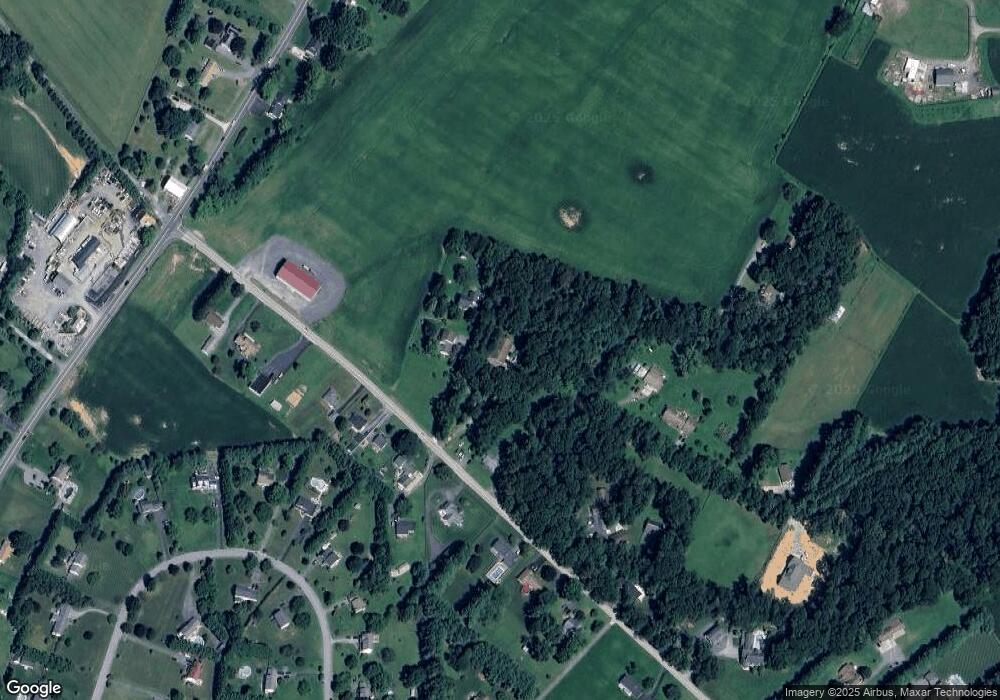
Map
Nearby Homes
- 5134 Perry Rd
- 4328 Ridge Rd Unit 13
- 2613 Liberty Rd
- 2210 Skylark Dr
- 5164 Perry Rd
- 2990 Honeywood Dr
- 2262 Cherokee Dr
- 4950 Crocus Rd
- 3008 Arapaho Ct
- 4828 Ridge Rd
- 4950 Fleming Rd
- 2815 Gillis Rd
- 3870 Roop Rd
- 5307 Pommel Dr
- 5415 Ridge Rd
- 3319 Mail Rd
- 3174 Cardinal Dr
- Lot 15 Westview Dr
- 3720 Buffalo Rd
- 5345 Pommel Dr
- 2621 Braddock Rd
- 2623 Braddock Rd
- 2606 Braddock Rd
- 2612 Braddock Rd
- 2616 Braddock Rd
- 2618 Braddock Rd
- 2597 Braddock Rd
- 2516 Braddock Rd
- 2535 Braddock Rd
- 2514 Braddock Rd
- 2604 Braddock Rd
- 2613 Braddock Rd
- 2512 Braddock Rd
- 2626 Braddock Rd
- 2661 Leslie Rd
- 2611 Braddock Rd
- 2657 Leslie Rd
- 2510 Braddock Rd
- 2632 Braddock Rd
- 2665 Leslie Rd