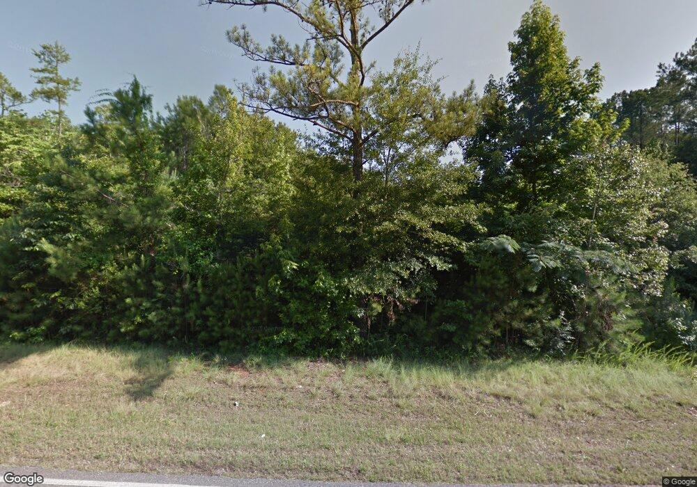
2605 Highway 16 Unit 1 Calera, AL 35040
Estimated Value: $357,000 - $442,000
--
Bed
1
Bath
2,919
Sq Ft
$137/Sq Ft
Est. Value
About This Home
This home is located at 2605 Highway 16 Unit 1, Calera, AL 35040 and is currently estimated at $399,786, approximately $136 per square foot. 2605 Highway 16 Unit 1 is a home located in Shelby County with nearby schools including Calera Intermediate School, Calera Elementary School, and Calera Middle School.
Ownership History
Date
Name
Owned For
Owner Type
Purchase Details
Closed on
Jul 3, 2002
Sold by
Blankenship Robert E and Blankenship Cynthia
Bought by
Blankenship Lucas Dean
Current Estimated Value
Purchase Details
Closed on
Mar 18, 2002
Sold by
Blankenship Robert E and Blanckenship Cynthia
Bought by
Blankenship Kerry and Blankenship Leslie
Home Financials for this Owner
Home Financials are based on the most recent Mortgage that was taken out on this home.
Original Mortgage
$31,514
Interest Rate
6.85%
Create a Home Valuation Report for This Property
The Home Valuation Report is an in-depth analysis detailing your home's value as well as a comparison with similar homes in the area
Home Values in the Area
Average Home Value in this Area
Purchase History
| Date | Buyer | Sale Price | Title Company |
|---|---|---|---|
| Blankenship Lucas Dean | $500 | Stewart Title Insurance Co | |
| Blankenship Kerry | $15,000 | Stewart Title Insurance Co |
Source: Public Records
Mortgage History
| Date | Status | Borrower | Loan Amount |
|---|---|---|---|
| Closed | Blankenship Kerry | $31,514 |
Source: Public Records
Tax History Compared to Growth
Tax History
| Year | Tax Paid | Tax Assessment Tax Assessment Total Assessment is a certain percentage of the fair market value that is determined by local assessors to be the total taxable value of land and additions on the property. | Land | Improvement |
|---|---|---|---|---|
| 2024 | $1,769 | $40,200 | $0 | $0 |
| 2023 | $1,627 | $37,920 | $0 | $0 |
| 2022 | $1,499 | $35,000 | $0 | $0 |
| 2021 | $1,268 | $29,740 | $0 | $0 |
| 2020 | $1,224 | $28,760 | $0 | $0 |
| 2019 | $1,203 | $28,280 | $0 | $0 |
| 2017 | $1,135 | $26,720 | $0 | $0 |
| 2015 | $1,036 | $24,480 | $0 | $0 |
| 2014 | $1,005 | $23,780 | $0 | $0 |
Source: Public Records
Map
Nearby Homes
- 2700 Highway 16
- 513 Camden Loop
- 501 Camden Loop
- 616 Klynes Dr
- 604 Klynes Dr
- 608 Klynes Dr
- 612 Klynes Dr
- 620 Klynes Dr
- 624 Klynes Dr
- 628 Klynes Dr
- RC Armstrong Plan at Camden Park
- RC Kendall Plan at Camden Park
- RC Baltimore Plan at Camden Park
- RC Morgan Plan at Camden Park
- RC Palisade Plan at Camden Park
- RC Wright Plan at Camden Park
- RC Foster II Plan at Camden Park
- RC Greenfield Plan at Camden Park
- RC Murrow II Plan at Camden Park
- RC Bennet Plan at Camden Park
- 754 Highway 63
- 730 Highway 63
- 725 Highway 63
- 2550 Highway 16 W
- 2550 Hwy 16 W
- 2550 Highway 16
- 722 Highway 63
- 65 Tyewood Dr
- 885 Camden Loop
- 667 Highway 63
- 631 Highway 63
- 880 Camden Loop
- 668 Highway 63
- 400 Clear Creek Dr
- 7 Faith Ln Unit 6E
- 570 Highway 63
- 2782 Highway 16
- 891 Meriweather Dr
- 895 Meriweather Dr
- 2823 Highway 16
