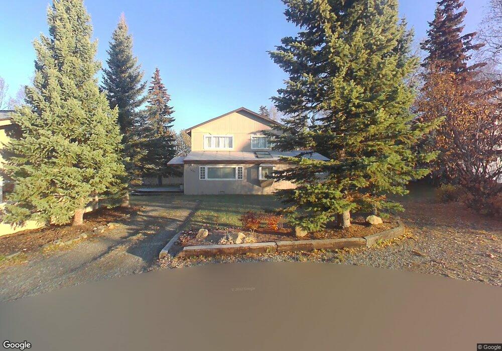
2605 Jeff Cir Anchorage, AK 99516
Huffman-O'Malley NeighborhoodEstimated Value: $513,000 - $735,000
2
Beds
2
Baths
2,644
Sq Ft
$239/Sq Ft
Est. Value
About This Home
This home is located at 2605 Jeff Cir, Anchorage, AK 99516 and is currently estimated at $630,928, approximately $238 per square foot. 2605 Jeff Cir is a home located in Anchorage Municipality with nearby schools including Spring Hill Elementary School, Hanshew Middle School, and Service High School.
Ownership History
Date
Name
Owned For
Owner Type
Purchase Details
Closed on
Jul 18, 2002
Sold by
Landes Diana
Bought by
Farnsworth Erwin L and Farnsworth Ruth Ann
Current Estimated Value
Home Financials for this Owner
Home Financials are based on the most recent Mortgage that was taken out on this home.
Original Mortgage
$145,000
Interest Rate
6.69%
Mortgage Type
Purchase Money Mortgage
Purchase Details
Closed on
Jul 17, 2002
Sold by
Landes Diana
Bought by
Farnsworth Erwin L and Farnsworth Ruth Ann
Home Financials for this Owner
Home Financials are based on the most recent Mortgage that was taken out on this home.
Original Mortgage
$145,000
Interest Rate
6.69%
Mortgage Type
Purchase Money Mortgage
Purchase Details
Closed on
Oct 16, 2001
Sold by
Landes Diana
Bought by
Landes Diana
Create a Home Valuation Report for This Property
The Home Valuation Report is an in-depth analysis detailing your home's value as well as a comparison with similar homes in the area
Home Values in the Area
Average Home Value in this Area
Purchase History
| Date | Buyer | Sale Price | Title Company |
|---|---|---|---|
| Farnsworth Erwin L | -- | -- | |
| Farnsworth Erwin L | -- | -- | |
| Landes Diana | -- | -- |
Source: Public Records
Mortgage History
| Date | Status | Borrower | Loan Amount |
|---|---|---|---|
| Closed | Farnsworth Erwin L | $145,000 | |
| Closed | Farnsworth Erwin L | $145,000 |
Source: Public Records
Tax History Compared to Growth
Tax History
| Year | Tax Paid | Tax Assessment Tax Assessment Total Assessment is a certain percentage of the fair market value that is determined by local assessors to be the total taxable value of land and additions on the property. | Land | Improvement |
|---|---|---|---|---|
| 2025 | $4,890 | $585,600 | $138,500 | $447,100 |
| 2024 | $4,890 | $527,900 | $138,500 | $389,400 |
| 2023 | $8,452 | $496,300 | $138,500 | $357,800 |
| 2022 | $4,784 | $484,100 | $138,500 | $345,600 |
| 2021 | $8,300 | $460,600 | $138,500 | $322,100 |
| 2020 | $4,342 | $456,600 | $138,500 | $318,100 |
| 2019 | $4,051 | $447,600 | $138,500 | $309,100 |
| 2018 | $3,698 | $425,500 | $138,500 | $287,000 |
| 2017 | $4,076 | $430,300 | $138,500 | $291,800 |
| 2016 | $6,004 | $447,600 | $138,500 | $309,100 |
| 2015 | $6,004 | $443,500 | $138,500 | $305,000 |
| 2014 | $6,004 | $420,200 | $114,600 | $305,600 |
Source: Public Records
Map
Nearby Homes
- 2640 E 112th Ave
- 11135 Red Sky Cir
- 11359 Tulin Park Loop
- 11335 Tulin Park Loop
- L16 Sky Ridge Dr
- 11097 Sky Ridge Dr
- 2735 Meadow Wood Cir
- 000 Wagner St
- 10359 Valley Park Dr
- 12283 Timberwood Cir
- 12101 Wagner St
- 3641 E Klatt Rd
- 2521 Winterchase Cir
- 12241 Gander St
- 8000 Independence Park Dr
- 3025 Huffman Rd
- 10690 Commodore Dr
- 11483 Moonrise Ridge Place Unit 10
- 11418 Moonrise Ridge Place Unit 19
- 1510 Elcadore Dr Unit 134
- 11251 Lake Otis Pkwy
- 2600 E 112th Ave
- 2620 E 112th Ave
- 2641 Jeff Cir
- 2600 Jeff Cir
- 2640 Jeff Cir
- 11205 Willene Dr
- 11200 Lake Otis Pkwy
- 2601 Mona Ave
- 2621 Mona Ave
- 11210 Willene Dr
- 11428 Tulin Park Loop
- 11422 Tulin Park Loop
- 11225 Willene Dr
- 11225 Willene Dr Unit B
- 11225 Willene Dr Unit A
- 2631 Mona Ave
- 11434 Tulin Park Loop
- 11416 Tulin Park Loop
- 11440 Tulin Park Loop