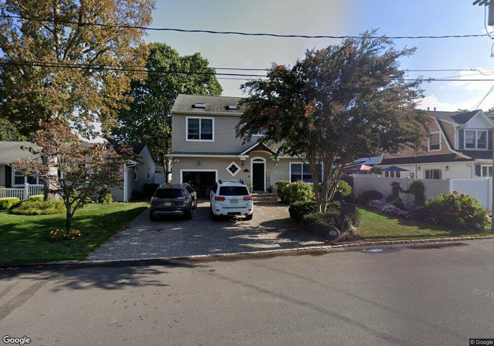
2605 Moore Ave Point Pleasant Boro, NJ 08742
Estimated Value: $897,000 - $1,171,000
4
Beds
3
Baths
2,678
Sq Ft
$384/Sq Ft
Est. Value
About This Home
This home is located at 2605 Moore Ave, Point Pleasant Boro, NJ 08742 and is currently estimated at $1,029,665, approximately $384 per square foot. 2605 Moore Ave is a home located in Ocean County with nearby schools including Point Pleasant High School and St Dominic School.
Ownership History
Date
Name
Owned For
Owner Type
Purchase Details
Closed on
Aug 6, 2007
Sold by
Mulvey Eugene and Mulvey Elissa
Bought by
Mulvey Eugene and Mulvey Elissa
Current Estimated Value
Home Financials for this Owner
Home Financials are based on the most recent Mortgage that was taken out on this home.
Original Mortgage
$357,000
Outstanding Balance
$227,417
Interest Rate
6.78%
Mortgage Type
New Conventional
Estimated Equity
$802,248
Purchase Details
Closed on
Jul 9, 1999
Sold by
Mulvey Robert L
Bought by
Mulvey Eugene
Create a Home Valuation Report for This Property
The Home Valuation Report is an in-depth analysis detailing your home's value as well as a comparison with similar homes in the area
Home Values in the Area
Average Home Value in this Area
Purchase History
| Date | Buyer | Sale Price | Title Company |
|---|---|---|---|
| Mulvey Eugene | -- | None Available | |
| Mulvey Eugene | $65,000 | -- |
Source: Public Records
Mortgage History
| Date | Status | Borrower | Loan Amount |
|---|---|---|---|
| Open | Mulvey Eugene | $357,000 |
Source: Public Records
Tax History Compared to Growth
Tax History
| Year | Tax Paid | Tax Assessment Tax Assessment Total Assessment is a certain percentage of the fair market value that is determined by local assessors to be the total taxable value of land and additions on the property. | Land | Improvement |
|---|---|---|---|---|
| 2025 | $11,268 | $492,700 | $160,000 | $332,700 |
| 2024 | $10,770 | $492,700 | $160,000 | $332,700 |
| 2023 | $10,549 | $492,700 | $160,000 | $332,700 |
| 2022 | $10,549 | $492,700 | $160,000 | $332,700 |
| 2021 | $10,386 | $492,700 | $160,000 | $332,700 |
| 2020 | $10,278 | $492,700 | $160,000 | $332,700 |
| 2019 | $10,140 | $492,700 | $160,000 | $332,700 |
| 2018 | $9,839 | $492,700 | $160,000 | $332,700 |
| 2017 | $9,622 | $492,700 | $160,000 | $332,700 |
| 2016 | $9,549 | $492,700 | $160,000 | $332,700 |
| 2015 | $9,435 | $492,700 | $160,000 | $332,700 |
| 2014 | $9,218 | $492,700 | $160,000 | $332,700 |
Source: Public Records
Map
Nearby Homes
- 1111 River Ave
- 2400 Beech St
- 2406 Chestnut St
- 2607 Spruce St
- 3105 Pocahontas Ave
- 1315 Sunset Ave
- 2704 Route 88
- 3118 Pocahontas Ave
- 1328 Sleepy Hollow Rd
- 519 Curtis Ave
- 602 Boulton Ave
- 2410 Mark Place
- 1115 Beaver Dam Rd
- 505 Curtis Ave
- 837 Beaver Dam Rd
- 1504 Ivy Rd
- 2419 Mallow St
- 619 Mistletoe Ave
- 2221 Wilson Rd
- 530 Riverwood Ave
- 2607 Moore Ave
- 1113 Barton Ave
- 2603 Moore Ave
- 2604 Beech St
- 2609 Moore Ave
- 1111 Barton Ave
- 2606 Beech St
- 2604 Moore Ave
- 2608 Beech St
- 1109 Barton Ave
- 2611 Moore Ave
- 1201 Barton Ave
- 2610 Beech St
- 2610 Moore Ave
- 1202 Sunrise Ave
- 1112 Barton Ave
- 2509 Moore Ave
- 1203 Barton Ave
- 1114 Curtis Ave
- 2601 Beech St Unit 3