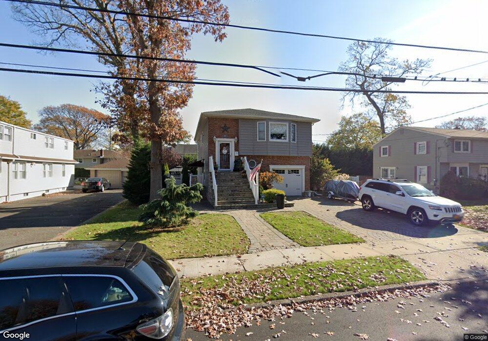
2605 Southard Ave Oceanside, NY 11572
Estimated Value: $750,170 - $863,000
--
Bed
1
Bath
1,963
Sq Ft
$411/Sq Ft
Est. Value
About This Home
This home is located at 2605 Southard Ave, Oceanside, NY 11572 and is currently estimated at $806,585, approximately $410 per square foot. 2605 Southard Ave is a home located in Nassau County with nearby schools including North Oceanside Elementary School 5, Oceanside Middle School, and Oceanside High School.
Ownership History
Date
Name
Owned For
Owner Type
Purchase Details
Closed on
Sep 23, 2010
Sold by
Erskine Diane
Bought by
Sgroi Joseph P
Current Estimated Value
Home Financials for this Owner
Home Financials are based on the most recent Mortgage that was taken out on this home.
Original Mortgage
$370,000
Outstanding Balance
$243,453
Interest Rate
4.37%
Mortgage Type
Purchase Money Mortgage
Estimated Equity
$563,132
Purchase Details
Closed on
Jul 1, 2003
Sold by
Pisciotto Gilda
Create a Home Valuation Report for This Property
The Home Valuation Report is an in-depth analysis detailing your home's value as well as a comparison with similar homes in the area
Home Values in the Area
Average Home Value in this Area
Purchase History
| Date | Buyer | Sale Price | Title Company |
|---|---|---|---|
| Sgroi Joseph P | $465,000 | -- | |
| -- | -- | -- |
Source: Public Records
Mortgage History
| Date | Status | Borrower | Loan Amount |
|---|---|---|---|
| Open | Sgroi Joseph P | $370,000 |
Source: Public Records
Tax History Compared to Growth
Tax History
| Year | Tax Paid | Tax Assessment Tax Assessment Total Assessment is a certain percentage of the fair market value that is determined by local assessors to be the total taxable value of land and additions on the property. | Land | Improvement |
|---|---|---|---|---|
| 2025 | $13,835 | $501 | $170 | $331 |
| 2024 | $4,272 | $557 | $189 | $368 |
| 2023 | $13,364 | $574 | $194 | $380 |
| 2022 | $13,364 | $579 | $196 | $383 |
| 2021 | $12,648 | $575 | $194 | $381 |
| 2020 | $5,934 | $579 | $503 | $76 |
| 2019 | $9,845 | $620 | $505 | $115 |
| 2018 | $8,710 | $662 | $0 | $0 |
| 2017 | $5,641 | $703 | $509 | $194 |
| 2016 | $8,858 | $745 | $432 | $313 |
| 2015 | $3,436 | $786 | $414 | $372 |
| 2014 | $3,436 | $786 | $414 | $372 |
| 2013 | $3,779 | $930 | $490 | $440 |
Source: Public Records
Map
Nearby Homes
- 2600 Southard Ave
- 2531 Mount Ave
- 33 Nassau Pkwy
- 298 Nassau Pkwy
- 2463 Rockville Centre Pkwy
- 2593 Loftus Ave
- 2534 Yorktown St
- 2612 Yorktown St
- 254 Elizabeth Ave
- 284 Madison Ave
- 89 S Kensington Ave
- 226 Oakview Ave
- 172 S Kensington Ave
- 138 Davison Ave
- 385 Oceanside Pkwy
- 621 Merrick Rd
- 102 Davison Ave
- 55 Vernon Ave
- 342 Mildred St
- 274 Lincoln Ave
- 2605 Southard Ave
- 2599 Southard Ave
- 2611 Southard Ave
- 2593 Southard Ave
- 2602 Washington Ave
- 2608 Washington Ave
- 2596 Washington Ave
- 2589 Southard Ave
- 2617 Southard Ave
- 2604 Southard Ave
- 2614 Washington Ave
- 2590 Washington Ave
- 2608 Southard Ave
- 2596 Southard Ave
- 2612 Southard Ave
- 2592 Southard Ave
- 196 Allen Ave
- 2577 Southard Ave
- 2620 Washington Ave
- 2616 Southard Ave