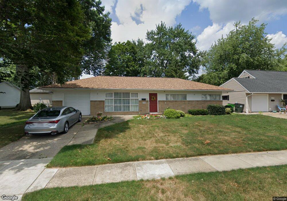
2605 Watson Ave Alliance, OH 44601
Estimated Value: $132,000 - $180,000
3
Beds
2
Baths
1,056
Sq Ft
$144/Sq Ft
Est. Value
About This Home
This home is located at 2605 Watson Ave, Alliance, OH 44601 and is currently estimated at $152,247, approximately $144 per square foot. 2605 Watson Ave is a home located in Stark County with nearby schools including Alliance Elementary School at Rockhill, Alliance Intermediate School at Northside, and Alliance Middle School.
Ownership History
Date
Name
Owned For
Owner Type
Purchase Details
Closed on
Jul 9, 2010
Sold by
Ratajak William P and Ratajak Beverly J
Bought by
Lackey James D and Lackey Joyce E
Current Estimated Value
Purchase Details
Closed on
Jan 29, 2002
Sold by
Silvis Duane L and Silvis Fay M
Bought by
Ratajak William P and Ratajak Beverly J
Purchase Details
Closed on
Nov 10, 2000
Sold by
Black Edna M
Bought by
Silvis Duane L and Silvis Fay M
Home Financials for this Owner
Home Financials are based on the most recent Mortgage that was taken out on this home.
Original Mortgage
$61,750
Outstanding Balance
$22,737
Interest Rate
7.87%
Mortgage Type
Purchase Money Mortgage
Estimated Equity
$129,510
Create a Home Valuation Report for This Property
The Home Valuation Report is an in-depth analysis detailing your home's value as well as a comparison with similar homes in the area
Home Values in the Area
Average Home Value in this Area
Purchase History
| Date | Buyer | Sale Price | Title Company |
|---|---|---|---|
| Lackey James D | $67,500 | Attorney | |
| Ratajak William P | $78,000 | -- | |
| Silvis Duane L | $65,000 | -- |
Source: Public Records
Mortgage History
| Date | Status | Borrower | Loan Amount |
|---|---|---|---|
| Open | Silvis Duane L | $61,750 |
Source: Public Records
Tax History Compared to Growth
Tax History
| Year | Tax Paid | Tax Assessment Tax Assessment Total Assessment is a certain percentage of the fair market value that is determined by local assessors to be the total taxable value of land and additions on the property. | Land | Improvement |
|---|---|---|---|---|
| 2025 | -- | $31,680 | $13,720 | $17,960 |
| 2024 | -- | $31,680 | $13,720 | $17,960 |
| 2023 | $1,106 | $27,520 | $9,980 | $17,540 |
| 2022 | $1,113 | $27,520 | $9,980 | $17,540 |
| 2021 | $1,114 | $27,520 | $9,980 | $17,540 |
| 2020 | $1,041 | $24,010 | $8,680 | $15,330 |
| 2019 | $1,026 | $24,010 | $8,680 | $15,330 |
| 2018 | $1,031 | $24,010 | $8,680 | $15,330 |
| 2017 | $937 | $21,460 | $7,490 | $13,970 |
| 2016 | $904 | $20,550 | $7,490 | $13,060 |
| 2015 | $912 | $20,550 | $7,490 | $13,060 |
| 2014 | $927 | $19,890 | $7,250 | $12,640 |
| 2013 | $463 | $19,890 | $7,250 | $12,640 |
Source: Public Records
Map
Nearby Homes
- 236 E Milton St
- 2460 S Arch Ave
- 2408 S Linden Ave
- 555 E Milton St
- 2376 S Seneca Ave
- 2218 S Freedom Ave
- 317 E State St
- 853 Fairway Dr
- 1846 S Freedom Ave
- 112 E College St
- 390 E College St
- 2839 S Rockhill Ave
- 1475 Chatauqua Ct
- 3101 Ridgehill Ave
- 1437 S Linden Ave
- 815 Grace St
- 277 W Carol St
- 729 Waugh St
- 1395 S Webb Ave
- 884 W College Rd
- 2539 Watson Ave
- 202 E Milton St
- 196 E Milton St
- 186 E Milton St
- 186 E Milton St
- 167 Catherine Ln
- 2525 Watson Ave
- 2542 Watson Ave
- 2610 Watson Ave
- 2530 Watson Ave
- 170 E Milton St
- 157 Catherine Ln
- 182 Catherine Ln
- 2509 Watson Ave
- 248 E Milton St
- 2518 Watson Ave
- 168 Catherine Ln
- 152 E Milton St
- 152 E Milton St
- 147 Catherine Ln