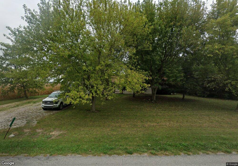
26055 Middle Pike Waynesfield, OH 45896
Estimated Value: $249,000 - $349,000
3
Beds
2
Baths
2,389
Sq Ft
$124/Sq Ft
Est. Value
About This Home
This home is located at 26055 Middle Pike, Waynesfield, OH 45896 and is currently estimated at $295,966, approximately $123 per square foot. 26055 Middle Pike is a home located in Auglaize County with nearby schools including Waynesfield-Goshen Local Elementary School and Waynesfield-Goshen Local High School.
Ownership History
Date
Name
Owned For
Owner Type
Purchase Details
Closed on
May 13, 1999
Sold by
Snyder Dennis E
Bought by
Snyder Dennis E
Current Estimated Value
Purchase Details
Closed on
Dec 29, 1992
Bought by
Baker Douglas J
Purchase Details
Closed on
Mar 1, 1989
Purchase Details
Closed on
Jun 1, 1986
Create a Home Valuation Report for This Property
The Home Valuation Report is an in-depth analysis detailing your home's value as well as a comparison with similar homes in the area
Home Values in the Area
Average Home Value in this Area
Purchase History
| Date | Buyer | Sale Price | Title Company |
|---|---|---|---|
| Snyder Dennis E | $500 | -- | |
| Baker Douglas J | $73,000 | -- | |
| -- | $68,500 | -- | |
| -- | $3,500 | -- |
Source: Public Records
Tax History Compared to Growth
Tax History
| Year | Tax Paid | Tax Assessment Tax Assessment Total Assessment is a certain percentage of the fair market value that is determined by local assessors to be the total taxable value of land and additions on the property. | Land | Improvement |
|---|---|---|---|---|
| 2024 | $4,029 | $65,240 | $6,770 | $58,470 |
| 2023 | $2,274 | $65,240 | $6,770 | $58,470 |
| 2022 | $2,091 | $51,830 | $6,150 | $45,680 |
| 2021 | $2,080 | $51,830 | $6,150 | $45,680 |
| 2020 | $2,084 | $51,829 | $6,150 | $45,679 |
| 2019 | $1,757 | $44,892 | $5,303 | $39,589 |
| 2018 | $1,772 | $44,892 | $5,303 | $39,589 |
| 2017 | $1,726 | $44,892 | $5,303 | $39,589 |
| 2016 | $1,522 | $40,751 | $5,051 | $35,700 |
| 2015 | $1,523 | $40,751 | $5,051 | $35,700 |
| 2014 | $1,525 | $40,751 | $5,051 | $35,700 |
| 2013 | $1,680 | $40,751 | $5,051 | $35,700 |
Source: Public Records
Map
Nearby Homes
- 25836 Ohio 67
- 202 W Mulberry St
- 105 Guthrie St
- 25376 Fairmount Rd
- 18544 Santa Fe Line Rd
- 11352 N Township Road 88
- 12102 Shannon Dr Unit 89
- 11579 Cooper Ave
- 11161 Macalpine Way
- 11385 Horseshoe Channel Dr
- 11546 Horseshoe Channel Dr
- 11526 Horseshoe Channel Dr
- 11580 Leoline Dr
- 11638 Channel View Dr
- 11524 Powhatan Path
- 13501 Eagle Path
- 11496 Powhatan Path
- 11588 Blackhawk Path
- 11372 Kickapoo Path
- 11259 Kiowa Path