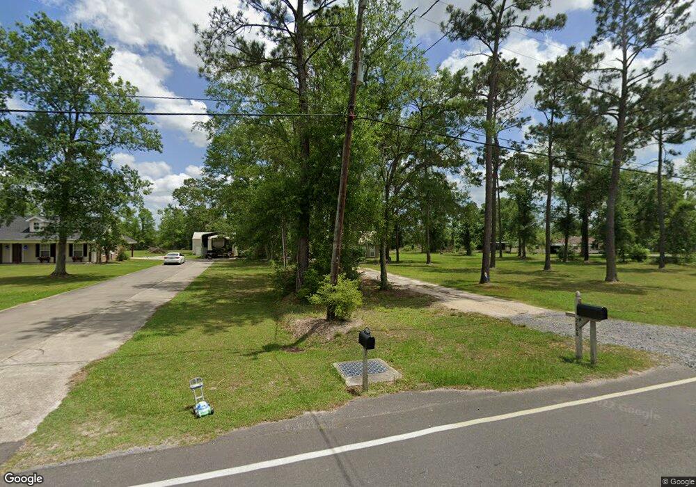
2606 Davis Rd Westlake, LA 70669
Estimated Value: $62,599 - $384,000
2
Beds
1
Bath
900
Sq Ft
$219/Sq Ft
Est. Value
About This Home
This home is located at 2606 Davis Rd, Westlake, LA 70669 and is currently estimated at $197,400, approximately $219 per square foot. 2606 Davis Rd is a home located in Calcasieu Parish with nearby schools including Westwood Elementary School, Western Heights Elementary School, and S.P. Arnett Middle School.
Ownership History
Date
Name
Owned For
Owner Type
Purchase Details
Closed on
Jun 11, 2008
Sold by
Smith Omer Blafond and Smith Loretta Joyce Richard
Bought by
Caltrax Inc
Current Estimated Value
Purchase Details
Closed on
Oct 12, 2006
Sold by
Cunningham Jill Christie
Bought by
Weller Terry Wayne and Weller Frances Dean
Home Financials for this Owner
Home Financials are based on the most recent Mortgage that was taken out on this home.
Original Mortgage
$68,500
Interest Rate
6.41%
Mortgage Type
New Conventional
Create a Home Valuation Report for This Property
The Home Valuation Report is an in-depth analysis detailing your home's value as well as a comparison with similar homes in the area
Home Values in the Area
Average Home Value in this Area
Purchase History
| Date | Buyer | Sale Price | Title Company |
|---|---|---|---|
| Caltrax Inc | $342 | None Available | |
| Weller Terry Wayne | $68,500 | None Available |
Source: Public Records
Mortgage History
| Date | Status | Borrower | Loan Amount |
|---|---|---|---|
| Previous Owner | Weller Terry Wayne | $68,500 |
Source: Public Records
Tax History Compared to Growth
Tax History
| Year | Tax Paid | Tax Assessment Tax Assessment Total Assessment is a certain percentage of the fair market value that is determined by local assessors to be the total taxable value of land and additions on the property. | Land | Improvement |
|---|---|---|---|---|
| 2024 | $290 | $2,700 | $960 | $1,740 |
| 2023 | $290 | $2,700 | $960 | $1,740 |
| 2022 | $3,954 | $2,700 | $960 | $1,740 |
| 2021 | $289 | $2,700 | $960 | $1,740 |
| 2020 | $272 | $2,490 | $920 | $1,570 |
| 2019 | $297 | $2,630 | $890 | $1,740 |
| 2018 | $275 | $2,630 | $890 | $1,740 |
| 2017 | $283 | $2,630 | $890 | $1,740 |
| 2016 | $281 | $2,630 | $890 | $1,740 |
| 2015 | $287 | $2,630 | $890 | $1,740 |
Source: Public Records
Map
Nearby Homes
- 109 W Wayside Dr
- 590 Landry Rd
- 0 W Wayside Dr Unit SWL25001592
- 2525 Davis Rd
- 2518 Donnelly Rd
- 2526 Cox Rd
- 2502 & 2504 German Rd
- 2524 Cox Rd
- 0 Davis Rd
- 0 Fletcher Rd
- 2725 Smith Ferry Rd
- 600 W Wayside Dr
- 615 Hudson Dr
- 618 John Stine Rd
- 0 Westwood Rd
- 320 Mcguire Rd
- 570 Ann Terrace Ave
- 369 Ann Terrace Ave
- 0 Charlotte Ave Unit SWL25001918
- 2429 Duraso Dr