2606 N Airport Rd Norfolk, NE 68701
Estimated Value: $345,000 - $540,806
2
Beds
2
Baths
1,320
Sq Ft
$338/Sq Ft
Est. Value
About This Home
This home is located at 2606 N Airport Rd, Norfolk, NE 68701 and is currently estimated at $445,702, approximately $337 per square foot. 2606 N Airport Rd is a home located in Madison County with nearby schools including Norfolk Senior High School, Christ Lutheran School, and Keystone Christian Academy.
Ownership History
Date
Name
Owned For
Owner Type
Purchase Details
Closed on
Apr 28, 2020
Sold by
Wattier Shawn P and Wattier Amy J
Bought by
Wattier Shawn P and Wattier Amy J
Current Estimated Value
Purchase Details
Closed on
Jun 26, 2017
Sold by
Curtis Douglas R and Curtis Judith K
Bought by
Wattler Shawn P and Wattler Amy J
Create a Home Valuation Report for This Property
The Home Valuation Report is an in-depth analysis detailing your home's value as well as a comparison with similar homes in the area
Home Values in the Area
Average Home Value in this Area
Purchase History
| Date | Buyer | Sale Price | Title Company |
|---|---|---|---|
| Wattier Shawn P | -- | None Available | |
| Wattler Shawn P | $281,000 | Tri County Title & Escrow Co |
Source: Public Records
Tax History Compared to Growth
Tax History
| Year | Tax Paid | Tax Assessment Tax Assessment Total Assessment is a certain percentage of the fair market value that is determined by local assessors to be the total taxable value of land and additions on the property. | Land | Improvement |
|---|---|---|---|---|
| 2024 | $3,917 | $405,189 | $112,346 | $292,843 |
| 2023 | $5,745 | $373,602 | $94,246 | $279,356 |
| 2022 | $5,213 | $337,957 | $89,567 | $248,390 |
| 2021 | $4,751 | $310,530 | $78,262 | $232,268 |
| 2020 | $3,910 | $247,610 | $68,132 | $179,478 |
| 2019 | $4,842 | $297,414 | $131,205 | $166,209 |
| 2018 | $4,665 | $292,315 | $135,495 | $156,820 |
| 2017 | $4,534 | $282,785 | $138,885 | $143,900 |
| 2016 | $4,349 | $267,512 | $135,465 | $132,047 |
| 2015 | $4,360 | $267,512 | $135,465 | $132,047 |
| 2014 | $4,441 | $262,172 | $141,000 | $121,172 |
| 2013 | $4,375 | $246,475 | $125,303 | $121,172 |
Source: Public Records
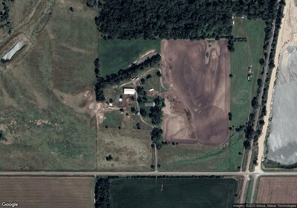
Map
Nearby Homes
- 101 Frank Ave
- 101 Adealia Ave
- 100 Henry Ave
- 101 Henry Ave
- 100 Helen Ave
- 2500 W Pasewalk
- 3407 Bradford Ave
- 3507 Bradford Ave
- 3406 Bradford Ave
- 3506 Bradford Ave
- 2500 W Cooper Dr **
- 2604 W Cooper Dr**
- 3307 W Michigan Ave
- 3206 W Michigan Ave
- 3205 W Michigan Ave
- 3306 W Michigan Ave
- 1104 Southern Dr
- 103 S 13th Place
- 809 S 14th St
- 1809 W Taylor Ave