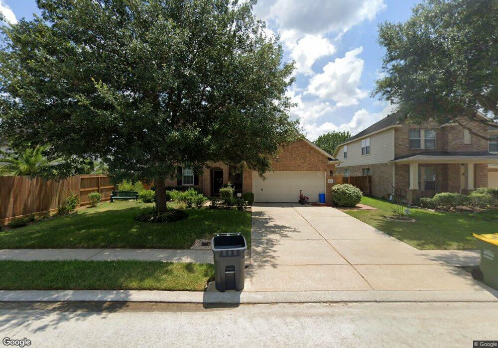
2607 Avalon Cove Ln Pearland, TX 77581
Estimated Value: $327,882 - $365,000
--
Bed
3
Baths
2,196
Sq Ft
$158/Sq Ft
Est. Value
About This Home
This home is located at 2607 Avalon Cove Ln, Pearland, TX 77581 and is currently estimated at $346,971, approximately $158 per square foot. 2607 Avalon Cove Ln is a home located in Brazoria County with nearby schools including E A Lawhon Elementary School, Pearland Junior High School West, and Leon H. Sablatura Middle School.
Ownership History
Date
Name
Owned For
Owner Type
Purchase Details
Closed on
Jan 27, 2006
Sold by
Mhi Partnership Ltd
Bought by
Freeman Shirley
Current Estimated Value
Home Financials for this Owner
Home Financials are based on the most recent Mortgage that was taken out on this home.
Original Mortgage
$34,542
Interest Rate
6.18%
Mortgage Type
Stand Alone Second
Create a Home Valuation Report for This Property
The Home Valuation Report is an in-depth analysis detailing your home's value as well as a comparison with similar homes in the area
Home Values in the Area
Average Home Value in this Area
Purchase History
| Date | Buyer | Sale Price | Title Company |
|---|---|---|---|
| Freeman Shirley | -- | Millennium Title Houston |
Source: Public Records
Mortgage History
| Date | Status | Borrower | Loan Amount |
|---|---|---|---|
| Closed | Freeman Shirley | $34,542 | |
| Open | Freeman Shirley | $138,167 |
Source: Public Records
Tax History Compared to Growth
Tax History
| Year | Tax Paid | Tax Assessment Tax Assessment Total Assessment is a certain percentage of the fair market value that is determined by local assessors to be the total taxable value of land and additions on the property. | Land | Improvement |
|---|---|---|---|---|
| 2025 | $4,066 | $332,210 | $47,470 | $284,740 |
| 2023 | $4,066 | $313,378 | $47,470 | $287,900 |
| 2022 | $7,213 | $284,889 | $40,690 | $251,920 |
| 2021 | $6,958 | $258,990 | $40,690 | $218,300 |
| 2020 | $6,824 | $243,120 | $33,910 | $209,210 |
| 2019 | $6,801 | $236,200 | $33,910 | $202,290 |
| 2018 | $6,524 | $221,750 | $33,910 | $187,840 |
| 2017 | $6,562 | $221,750 | $33,910 | $187,840 |
| 2016 | $6,053 | $221,750 | $33,910 | $187,840 |
| 2014 | $4,653 | $169,050 | $33,910 | $135,140 |
Source: Public Records
Map
Nearby Homes
- 1 Farm To Market 1128
- 2453 Roy Rd Unit 105
- 2802 Afton Dr
- 2350 Hawk Meadows
- 2811 Afton Dr
- 6816 Broadway St
- 7610 River Pass Dr
- 2526 Oak Rd
- 2534 Oak Rd
- 4823 Meadowglen Dr
- 4811 Meadowglen Dr
- 9.6 AC Fite Rd
- 7333 Fite Rd
- 2008 Granite Pass Dr
- 5308 Harvest Season Ln
- 5229 Cypress Rose Dr
- 6421 Green Clover Ln
- 4915 Pecan Grove Dr
- 0000 Cullen Pkwy
- 00 Cullen Pkwy
- 7418 Misty Lake Ln
- 7416 Misty Lake Ln
- 7414 Misty Lake Ln
- 7501 Quiet Trace Ln
- 2611 Avalon Cove Ln
- 7502 Misty Lake Ln
- 7412 Misty Lake Ln
- 7503 Quiet Trace Ln
- 7502 Quiet Trace Ln
- 7504 Misty Lake Ln
- 7410 Misty Lake Ln
- 7504 Quiet Trace Ln
- 2605 Avalon Cove Ln
- 7505 Quiet Trace Ln
- 2606 Avalon Lake Ln
- 7506 Misty Lake Ln
- 7506 Quiet Trace Ln
- 7501 Misty Lake Ln
- 2603 Avalon Cove Ln
- 7507 Quiet Trace Ln