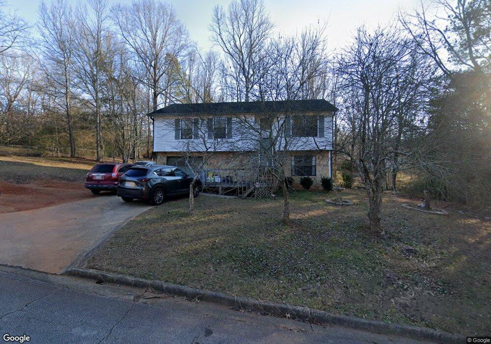
2607 Del Ridge Dr Unit 2 Douglasville, GA 30135
Lithia Springs NeighborhoodEstimated Value: $240,000 - $262,000
3
Beds
2
Baths
1,164
Sq Ft
$215/Sq Ft
Est. Value
About This Home
This home is located at 2607 Del Ridge Dr Unit 2, Douglasville, GA 30135 and is currently estimated at $250,823, approximately $215 per square foot. 2607 Del Ridge Dr Unit 2 is a home located in Douglas County with nearby schools including Factory Shoals Elementary School, Factory Shoals Middle School, and New Manchester High School.
Ownership History
Date
Name
Owned For
Owner Type
Purchase Details
Closed on
Jan 29, 2002
Sold by
Household Realty Corp
Bought by
Woodard John D and Woodard Debra
Current Estimated Value
Home Financials for this Owner
Home Financials are based on the most recent Mortgage that was taken out on this home.
Original Mortgage
$63,350
Interest Rate
6.92%
Mortgage Type
New Conventional
Purchase Details
Closed on
Nov 6, 2001
Sold by
Johnson Nancy
Bought by
Household Realty Corp
Purchase Details
Closed on
Mar 6, 2000
Sold by
Johnson Nancy M
Bought by
Johnson Nancy
Home Financials for this Owner
Home Financials are based on the most recent Mortgage that was taken out on this home.
Original Mortgage
$88,500
Interest Rate
8.23%
Mortgage Type
New Conventional
Create a Home Valuation Report for This Property
The Home Valuation Report is an in-depth analysis detailing your home's value as well as a comparison with similar homes in the area
Home Values in the Area
Average Home Value in this Area
Purchase History
| Date | Buyer | Sale Price | Title Company |
|---|---|---|---|
| Woodard John D | $70,400 | -- | |
| Household Realty Corp | $97,000 | -- | |
| Johnson Nancy | -- | -- |
Source: Public Records
Mortgage History
| Date | Status | Borrower | Loan Amount |
|---|---|---|---|
| Previous Owner | Woodard John D | $63,350 | |
| Previous Owner | Johnson Nancy | $88,500 |
Source: Public Records
Tax History Compared to Growth
Tax History
| Year | Tax Paid | Tax Assessment Tax Assessment Total Assessment is a certain percentage of the fair market value that is determined by local assessors to be the total taxable value of land and additions on the property. | Land | Improvement |
|---|---|---|---|---|
| 2024 | $2,366 | $75,200 | $14,000 | $61,200 |
| 2023 | $2,366 | $62,120 | $14,000 | $48,120 |
| 2022 | $2,023 | $62,120 | $14,000 | $48,120 |
| 2021 | $1,785 | $54,720 | $14,840 | $39,880 |
| 2020 | $1,519 | $45,800 | $11,440 | $34,360 |
| 2019 | $1,391 | $44,920 | $11,440 | $33,480 |
| 2018 | $1,237 | $39,760 | $10,440 | $29,320 |
| 2017 | $986 | $31,080 | $8,960 | $22,120 |
| 2016 | $1,011 | $31,320 | $9,280 | $22,040 |
| 2015 | $941 | $28,560 | $8,720 | $19,840 |
| 2014 | $832 | $24,760 | $8,080 | $16,680 |
| 2013 | -- | $27,040 | $8,840 | $18,200 |
Source: Public Records
Map
Nearby Homes
- 2619 Del Ridge Dr
- 0 Mountain Brook Ct Unit 10435858
- 0 Mountain Brook Ct Unit 7505252
- 2656 Del Ridge Dr
- 3188 Christopher Ct
- 2756 Del Ridge Dr
- 2450 Washington Dr
- 3006 Blake Ct
- 3073 Virginia Place
- 2928 Legion Lake Rd
- 2785 Fairburn Rd
- 2970 Pritchards Mill Trail
- 3327 Surveyor Ct
- 2915 Wilkes Plantation Way
- 3387 Surveyor Ct
- 3380 Palmer Lake
- 2853 Melanie Ln
- 2870 Aunt Pitty Pat Ln
- 2591 Del Ridge Dr Unit 2
- 2606 Mountain Brook Ct Unit 2
- 2626 Del Ridge Dr
- 2620 Mountain Brook Ct
- 2594 Del Ridge Dr
- 2592 Mountain Brook Ct
- 2604 Del Ridge Dr
- 2584 Del Ridge Dr Unit 2
- 2632 Mountain Brook Ct
- 2633 Del Ridge Dr
- 0 Mountain Brook Ct Unit 8615884
- 0 Mountain Brook Ct Unit 7211103
- 0 Mountain Brook Ct Unit 8748516
- 0 Mountain Brook Ct Unit 8581685
- 0 Mountain Brook Ct Unit 8581646
- 0 Mountain Brook Ct Unit 6551538
- 2561 Del Ridge Dr
- 2574 Del Ridge Dr
- 0 Del Ridge Dr Unit 8271240
- 0 Del Ridge Dr Unit 7085071