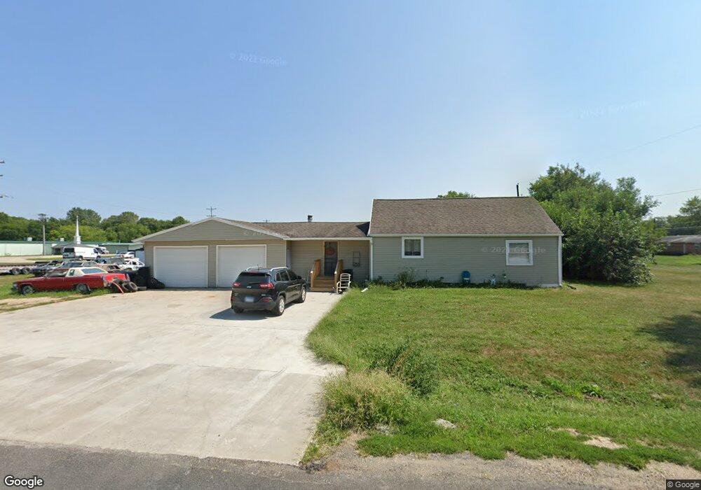
2607 Walnut St Rock Falls, IL 61071
Estimated Value: $121,000 - $155,000
1
Bed
1
Bath
1,280
Sq Ft
$103/Sq Ft
Est. Value
About This Home
This home is located at 2607 Walnut St, Rock Falls, IL 61071 and is currently estimated at $131,956, approximately $103 per square foot. 2607 Walnut St is a home located in Whiteside County with nearby schools including Montmorency School, Rock Falls Township High School, and St. Andrew Catholic Elementary School.
Ownership History
Date
Name
Owned For
Owner Type
Purchase Details
Closed on
Sep 28, 2006
Sold by
Beachy David Lee and Beachy Dale Gene
Bought by
Conkling Randy G and Conkling Adam H
Current Estimated Value
Home Financials for this Owner
Home Financials are based on the most recent Mortgage that was taken out on this home.
Original Mortgage
$87,000
Interest Rate
6.49%
Mortgage Type
New Conventional
Purchase Details
Closed on
Dec 2, 2005
Sold by
Beachy Jean R
Bought by
Beachy David Lee and Beachy Dale Gene
Create a Home Valuation Report for This Property
The Home Valuation Report is an in-depth analysis detailing your home's value as well as a comparison with similar homes in the area
Home Values in the Area
Average Home Value in this Area
Purchase History
| Date | Buyer | Sale Price | Title Company |
|---|---|---|---|
| Conkling Randy G | $85,000 | None Available | |
| Beachy David Lee | -- | None Available |
Source: Public Records
Mortgage History
| Date | Status | Borrower | Loan Amount |
|---|---|---|---|
| Closed | Conkling Randy G | $87,000 |
Source: Public Records
Tax History Compared to Growth
Tax History
| Year | Tax Paid | Tax Assessment Tax Assessment Total Assessment is a certain percentage of the fair market value that is determined by local assessors to be the total taxable value of land and additions on the property. | Land | Improvement |
|---|---|---|---|---|
| 2024 | $2,645 | $31,066 | $3,356 | $27,710 |
| 2023 | $2,450 | $28,306 | $3,058 | $25,248 |
| 2022 | $2,355 | $26,526 | $2,866 | $23,660 |
| 2021 | $2,363 | $26,339 | $2,846 | $23,493 |
| 2020 | $2,325 | $25,719 | $2,779 | $22,940 |
| 2019 | $2,291 | $25,173 | $2,720 | $22,453 |
| 2018 | $2,241 | $25,356 | $2,740 | $22,616 |
| 2017 | $2,255 | $24,299 | $2,626 | $21,673 |
| 2016 | $2,202 | $23,273 | $2,642 | $20,631 |
| 2015 | $2,125 | $23,511 | $2,669 | $20,842 |
| 2014 | $2,074 | $22,726 | $2,580 | $20,146 |
| 2013 | $2,125 | $23,511 | $2,669 | $20,842 |
Source: Public Records
Map
Nearby Homes
- 2603 Yeoward St
- 2611 Yeoward St
- 2614 Pine St
- 2614 Pine St
- 2102 Walter St
- 2001 Walter St
- 2008 Walter St
- 2106 Walter St
- 2704 Walnut St
- 2604 Yeoward St
- 2705 Walnut St
- 2002 Walter St
- 2608 Yeoward St
- 2707 Walnut St
- 2706 Walnut St
- 2612 Yeoward St
- 2609 Pine St
- 2703 Yeoward St
- 1902 E Rock Falls Rd
- 1911 E Rock Falls Rd