26075 Littman Rd Sturgis, MI 49091
Estimated Value: $446,000 - $624,000
--
Bed
--
Bath
2,292
Sq Ft
$227/Sq Ft
Est. Value
About This Home
This home is located at 26075 Littman Rd, Sturgis, MI 49091 and is currently estimated at $520,051, approximately $226 per square foot. 26075 Littman Rd is a home located in St. Joseph County with nearby schools including Sturgis High School.
Ownership History
Date
Name
Owned For
Owner Type
Purchase Details
Closed on
Jul 1, 2014
Sold by
Brown Michael and Brown Diane Ilene
Bought by
Patrick Charles A and Patrick Stefanie
Current Estimated Value
Home Financials for this Owner
Home Financials are based on the most recent Mortgage that was taken out on this home.
Original Mortgage
$225,000
Outstanding Balance
$171,125
Interest Rate
4.12%
Mortgage Type
New Conventional
Estimated Equity
$348,926
Purchase Details
Closed on
Jan 1, 1901
Create a Home Valuation Report for This Property
The Home Valuation Report is an in-depth analysis detailing your home's value as well as a comparison with similar homes in the area
Home Values in the Area
Average Home Value in this Area
Purchase History
| Date | Buyer | Sale Price | Title Company |
|---|---|---|---|
| Patrick Charles A | $255,000 | None Available | |
| -- | -- | -- |
Source: Public Records
Mortgage History
| Date | Status | Borrower | Loan Amount |
|---|---|---|---|
| Open | Patrick Charles A | $225,000 |
Source: Public Records
Tax History Compared to Growth
Tax History
| Year | Tax Paid | Tax Assessment Tax Assessment Total Assessment is a certain percentage of the fair market value that is determined by local assessors to be the total taxable value of land and additions on the property. | Land | Improvement |
|---|---|---|---|---|
| 2025 | $4,575 | $249,100 | $31,700 | $217,400 |
| 2024 | $1,563 | $246,500 | $26,900 | $219,600 |
| 2023 | $1,490 | $214,200 | $17,100 | $197,100 |
| 2022 | $0 | $168,900 | $13,500 | $155,400 |
| 2021 | $2,655 | $155,100 | $12,300 | $142,800 |
| 2020 | $1,358 | $146,600 | $12,300 | $134,300 |
| 2019 | $1,333 | $141,100 | $12,300 | $128,800 |
| 2018 | $3,446 | $126,400 | $12,300 | $114,100 |
| 2017 | $3,464 | $128,400 | $128,400 | $0 |
| 2016 | -- | $123,500 | $123,500 | $0 |
| 2015 | -- | $119,400 | $0 | $0 |
| 2014 | -- | $121,200 | $121,200 | $0 |
| 2012 | -- | $109,400 | $109,400 | $0 |
Source: Public Records
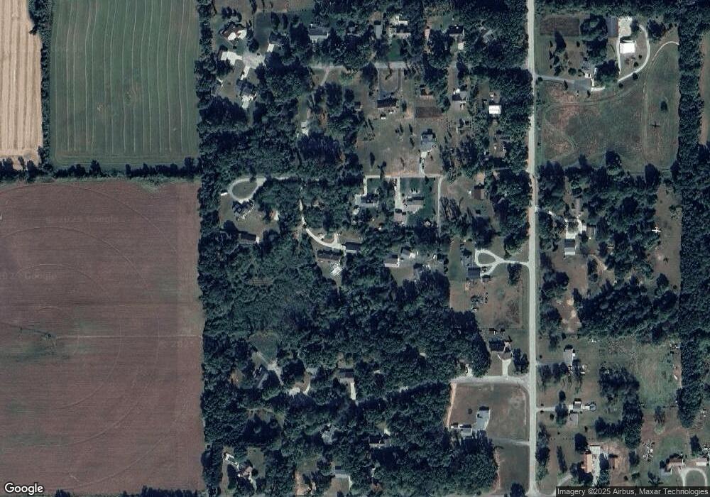
Map
Nearby Homes
- 66109 Hideaway Ln
- 27304 Oak Dr
- 708 N Centerville Rd
- 66223 Grey Lake Rd
- 67696 Thunderbird Dr
- VL1 Ottokee Dr
- VL2 Ottokee Dr
- 0 Vl Seneca Ct
- 28123 Timberly Dr
- 27810 Maystead Rd
- V/L White Pine Dr
- V/L Banker St
- 1100 Sherwood Forrest Trail
- 805 N Nottawa St
- 814 N Lakeview Ave
- 609 Sturgis St
- 200 Broadus St
- 607 George St
- 612 N Prospect St
- 610 N Prospect St
- 26075 Littman Rd
- 26125 Littman Rd
- 26045 Littman Rd
- 26157 Littman Rd
- 26045 Littman Rd
- 66200 Meyers Rd
- 66250 Meyers Rd
- 0 Meyers Rd
- 26170 Littman Rd
- 66274 Meyers Rd
- 5 Wyndham Rd
- 66161 Meyers Rd
- 1 Littman Rd
- 0 Littman Rd
- 26185 Mintdale Rd
- 66334 Meyers Rd
- 26160 Mintdale Rd
- 66279 Meyers Rd
- 26311 Mintdale Rd
- 66108 Meyers Rd