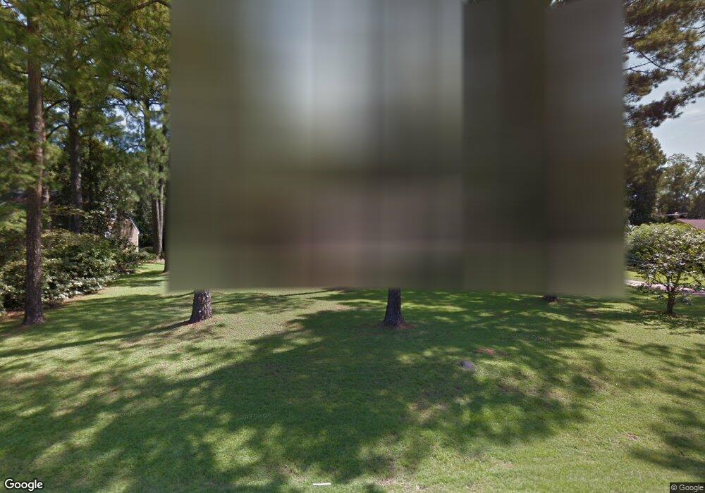
2608 Devon Dr Albany, GA 31721
Estimated Value: $237,000 - $308,000
4
Beds
2
Baths
2,333
Sq Ft
$116/Sq Ft
Est. Value
About This Home
This home is located at 2608 Devon Dr, Albany, GA 31721 and is currently estimated at $269,743, approximately $115 per square foot. 2608 Devon Dr is a home located in Dougherty County with nearby schools including Live Oak Elementary School, Merry Acres Middle School, and Westover High School.
Ownership History
Date
Name
Owned For
Owner Type
Purchase Details
Closed on
Feb 1, 2001
Sold by
Loughlin David Kurt and Tonya Johnson
Bought by
Davis Ricky and Davis Cassandra L
Current Estimated Value
Purchase Details
Closed on
Mar 16, 1998
Sold by
Carignan Thomas E and Carignan Patricia L
Bought by
Loughlin David Kurt and Tonya Johnson
Purchase Details
Closed on
Jan 10, 1998
Sold by
Carignan Thomas E
Bought by
Carignan Patricia L
Purchase Details
Closed on
Jun 26, 1995
Sold by
Franko James B and Franko Lisette B
Bought by
Carignan Thomas E
Purchase Details
Closed on
Jan 1, 1988
Sold by
White Steven and White Ynthia
Bought by
Franko James and Franko Isette
Create a Home Valuation Report for This Property
The Home Valuation Report is an in-depth analysis detailing your home's value as well as a comparison with similar homes in the area
Purchase History
| Date | Buyer | Sale Price | Title Company |
|---|---|---|---|
| Davis Ricky | $144,900 | -- | |
| Loughlin David Kurt | $143,500 | -- | |
| Carignan Patricia L | -- | -- | |
| Carignan Thomas E | $132,500 | -- | |
| Franko James | -- | -- |
Source: Public Records
Tax History
| Year | Tax Paid | Tax Assessment Tax Assessment Total Assessment is a certain percentage of the fair market value that is determined by local assessors to be the total taxable value of land and additions on the property. | Land | Improvement |
|---|---|---|---|---|
| 2025 | $3,227 | $65,720 | $10,360 | $55,360 |
| 2024 | $3,227 | $65,720 | $10,360 | $55,360 |
| 2023 | $2,130 | $65,720 | $10,360 | $55,360 |
| 2022 | $2,980 | $65,720 | $10,360 | $55,360 |
| 2021 | $2,763 | $65,720 | $10,360 | $55,360 |
| 2020 | $2,769 | $65,720 | $10,360 | $55,360 |
| 2019 | $2,780 | $65,720 | $10,360 | $55,360 |
| 2018 | $2,791 | $65,720 | $10,360 | $55,360 |
| 2017 | $2,600 | $65,720 | $10,360 | $55,360 |
| 2016 | $2,602 | $65,720 | $10,360 | $55,360 |
| 2015 | $2,609 | $65,720 | $10,360 | $55,360 |
| 2014 | $2,576 | $65,720 | $10,360 | $55,360 |
Source: Public Records
Map
Nearby Homes
- 3101 Old Dawson Rd
- 3204 Tunbridge Ln
- 3204 Fulmer Ct
- 2710 Shannon Rd
- 2607 Lansing Dr
- 2530 E Alberson Dr
- 3409 Bellingham Ln
- 3424 Bellingham Ln
- 2115 Cumberland Ln
- 2202 Trowbridge Rd
- 2532 E Alberson Dr
- 2423 E Alberson Dr
- 3422 Plantation Dr
- 2105 Beattie Rd
- 1719 Northwood Dr
- 1930 Beattie Rd
- 2002 Cumberland Ln
- 1619 Northwood Dr
- 2620 Pine Valley Rd
- 2611 Pine Valley Rd
- 2610 Devon Dr
- 2606 Devon Dr
- 3201 Lancaster Ln
- 2612 Devon Dr
- 2604 Devon Dr
- 3202 Tunbridge Ln
- 3201 Tunbridge Ln
- 3203 Lancaster Ln
- 2614 Devon Dr
- 2602 Devon Dr
- 3200 Lancaster Ln
- 3203 Tunbridge Ln
- 3205 Lancaster Ln
- 3202 Lancaster Ln
- 2615 Devon Dr
- 2600 Devon Dr
- 2616 Devon Dr
- 3203 Old Dawson Rd
- 3204 Lancaster Ln
- 2621 Devon Dr
Your Personal Tour Guide
Ask me questions while you tour the home.