2608 Maple Rock Rd Hanover, MD 21076
Estimated Value: $542,000 - $613,000
Studio
2
Baths
2,516
Sq Ft
$230/Sq Ft
Est. Value
About This Home
This home is located at 2608 Maple Rock Rd, Hanover, MD 21076 and is currently estimated at $577,550, approximately $229 per square foot. 2608 Maple Rock Rd is a home located in Anne Arundel County with nearby schools including Hebron-Harman Elementary School, MacArthur Middle School, and Meade High School.
Ownership History
Date
Name
Owned For
Owner Type
Purchase Details
Closed on
Mar 31, 2017
Sold by
Toll Md Iv Llc
Bought by
Graham Cornell Michael O and Graham Cornell Shannon E
Current Estimated Value
Home Financials for this Owner
Home Financials are based on the most recent Mortgage that was taken out on this home.
Original Mortgage
$420,300
Outstanding Balance
$349,753
Interest Rate
4.21%
Mortgage Type
Purchase Money Mortgage
Estimated Equity
$227,797
Create a Home Valuation Report for This Property
The Home Valuation Report is an in-depth analysis detailing your home's value as well as a comparison with similar homes in the area
Home Values in the Area
Average Home Value in this Area
Purchase History
| Date | Buyer | Sale Price | Title Company |
|---|---|---|---|
| Graham Cornell Michael O | $467,105 | Westminster Title |
Source: Public Records
Mortgage History
| Date | Status | Borrower | Loan Amount |
|---|---|---|---|
| Open | Graham Cornell Michael O | $420,300 |
Source: Public Records
Tax History
| Year | Tax Paid | Tax Assessment Tax Assessment Total Assessment is a certain percentage of the fair market value that is determined by local assessors to be the total taxable value of land and additions on the property. | Land | Improvement |
|---|---|---|---|---|
| 2025 | $5,244 | $475,900 | $120,000 | $355,900 |
| 2024 | $5,244 | $457,167 | $0 | $0 |
| 2023 | $5,100 | $438,433 | $0 | $0 |
| 2022 | $4,759 | $419,700 | $120,000 | $299,700 |
| 2020 | $4,720 | $419,700 | $120,000 | $299,700 |
| 2019 | $4,812 | $438,500 | $160,000 | $278,500 |
| 2018 | $4,303 | $424,367 | $0 | $0 |
| 2017 | $4,478 | $410,233 | $0 | $0 |
| 2016 | -- | $35,000 | $0 | $0 |
| 2015 | -- | $32,667 | $0 | $0 |
| 2014 | -- | $30,333 | $0 | $0 |
Source: Public Records
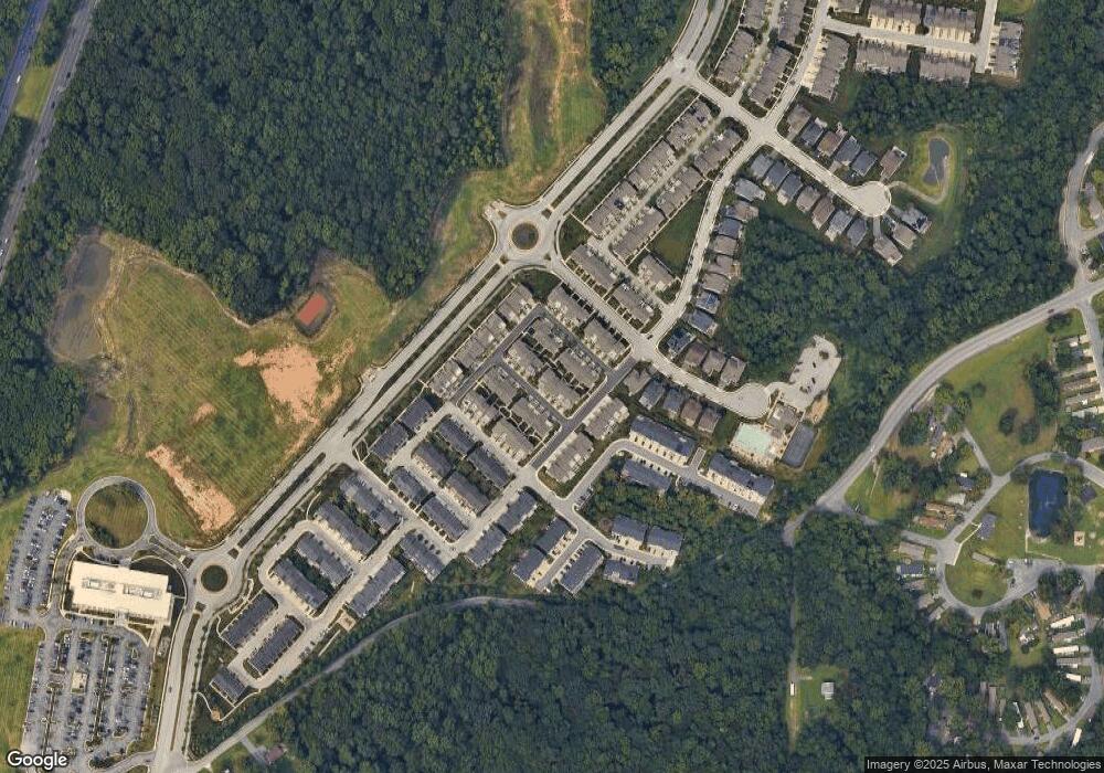
Map
Nearby Homes
- 7617 Elmcrest Rd
- 7810 Clark Rd Unit D-64
- 7810 Clark Rd Unit D91
- 7810 Clark Rd Unit D88
- 2284 Brimstone Place
- 1705 Wolcott Way
- 7818 Metacomet Rd
- 2854 Brewers Crossing Way Unit 1
- 7740 Rotherham Dr
- 2812 Brewers Crossing Way Unit 43
- 2816 Brewers Crossing Way
- 1917 Pometacom Dr
- 2918 Middleham Ct
- 2914 Middleham Ct
- 7725 Duncannon Ln
- 7155 Wedmore Ct
- 7729 Duncannon Ln
- 1914 Wamsutta Ln
- 7652 Telamon Way
- 2932 Hebron Ln
- 2606 Maple Rock Rd
- 2501 Cherry Tree Rd
- 2604 Maple Rock Rd
- 2507 Cherry Tree Rd
- 2509 Cherry Tree Rd
- 2602 Maple Rock Rd
- 2505 Cherry Tree Rd
- 2500 Cherry Tree Rd
- 2503 Cherry Tree Rd
- 2609 Maple Rock Rd
- 2611 Maple Rock Rd
- 2513 Cherry Tree Rd
- 2618 Maple Rock Rd
- 2616 Maple Rock Rd
- 2515 Cherry Tree Rd
- 2610 Maple Rock Rd
- 2511 Cherry Tree Rd
- 2605 Maple Rock Rd
- 2607 Maple Rock Rd
- 2603 Maple Rock Rd
Your Personal Tour Guide
Ask me questions while you tour the home.