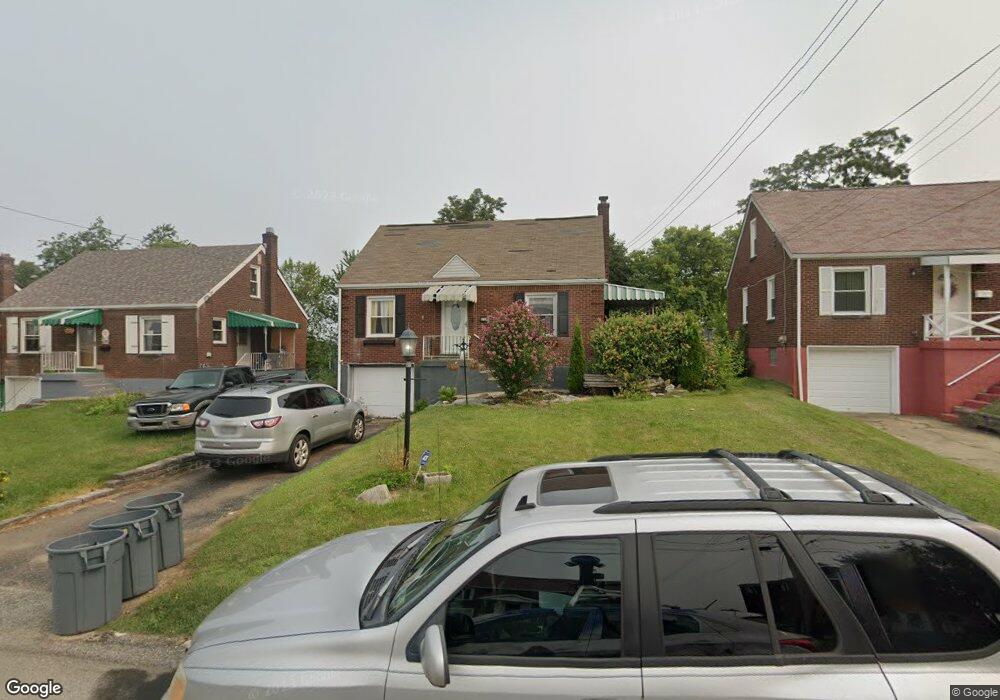
2608 Sunset Dr West Mifflin, PA 15122
Estimated Value: $151,000 - $187,000
3
Beds
2
Baths
1,125
Sq Ft
$147/Sq Ft
Est. Value
About This Home
This home is located at 2608 Sunset Dr, West Mifflin, PA 15122 and is currently estimated at $165,929, approximately $147 per square foot. 2608 Sunset Dr is a home located in Allegheny County with nearby schools including West Mifflin Area High School, St Agnes School, and Walnut Grove Christian School.
Ownership History
Date
Name
Owned For
Owner Type
Purchase Details
Closed on
May 2, 2011
Sold by
Englert William L and Vesci Steven E
Bought by
Bomba Megan L and Powers Zachary S
Current Estimated Value
Home Financials for this Owner
Home Financials are based on the most recent Mortgage that was taken out on this home.
Original Mortgage
$74,050
Outstanding Balance
$51,461
Interest Rate
4.88%
Mortgage Type
FHA
Estimated Equity
$114,468
Purchase Details
Closed on
Feb 21, 2001
Sold by
Mchatten Margaret E
Bought by
Englert William L and Vesci Steven E
Purchase Details
Closed on
Jun 11, 1998
Sold by
Mcgavern Robert James and Mcgavern Donald Paul
Bought by
Mcgavern Donald Paul
Purchase Details
Closed on
Jan 1, 1900
Create a Home Valuation Report for This Property
The Home Valuation Report is an in-depth analysis detailing your home's value as well as a comparison with similar homes in the area
Home Values in the Area
Average Home Value in this Area
Purchase History
| Date | Buyer | Sale Price | Title Company |
|---|---|---|---|
| Bomba Megan L | $76,000 | -- | |
| Englert William L | $47,000 | -- | |
| Mcgavern Donald Paul | -- | -- | |
| -- | -- | -- |
Source: Public Records
Mortgage History
| Date | Status | Borrower | Loan Amount |
|---|---|---|---|
| Open | Bomba Megan L | $74,050 |
Source: Public Records
Tax History Compared to Growth
Tax History
| Year | Tax Paid | Tax Assessment Tax Assessment Total Assessment is a certain percentage of the fair market value that is determined by local assessors to be the total taxable value of land and additions on the property. | Land | Improvement |
|---|---|---|---|---|
| 2025 | $2,849 | $68,100 | $14,100 | $54,000 |
| 2024 | $2,849 | $68,100 | $14,100 | $54,000 |
| 2023 | $2,811 | $68,100 | $14,100 | $54,000 |
| 2022 | $2,730 | $68,100 | $14,100 | $54,000 |
| 2021 | $322 | $68,100 | $14,100 | $54,000 |
| 2020 | $2,629 | $68,100 | $14,100 | $54,000 |
| 2019 | $2,595 | $68,100 | $14,100 | $54,000 |
| 2018 | $322 | $68,100 | $14,100 | $54,000 |
| 2017 | $2,527 | $68,100 | $14,100 | $54,000 |
| 2016 | $322 | $68,100 | $14,100 | $54,000 |
| 2015 | $322 | $68,100 | $14,100 | $54,000 |
| 2014 | $2,505 | $68,100 | $14,100 | $54,000 |
Source: Public Records
Map
Nearby Homes
- lot Sunset Dr
- 2678 Glenny Ln
- 2813 Glenny Lane Extension
- 2634 Homestead Duquesne Rd
- 2725 Glenny Ln
- 2301 Vermont Ave
- 2832 Skyline Dr
- 2247 Vermont Ave
- 2123 Worton Blvd
- 2154 Vermont Ave
- - Skyline Dr
- 2103 Vermont Ave
- 1933 Pennsylvania Ave
- 2001 Ohio Ave
- 2002 Vermont Ave
- 418 Arctic St
- 1860 Ohio Ave
- 1823 Texas Ave
- 1732 Pennsylvania Ave
- 601 Romine Ave
- 2612 Sunset Dr
- 2604 Sunset Dr
- 2616 Sunset Dr
- 2600 Sunset Dr
- 2435 Webster Ave
- 2620 Sunset Dr
- 2609 Sunset Dr
- 2613 Sunset Dr
- 2605 Sunset Dr
- 2520 Sunset Dr
- 2439 Webster Ave
- 2443 Webster Ave
- 2617 Sunset Dr
- 2433 Webster Ave
- 2601 Sunset Dr
- 2429 Webster Ave
- 2624 Sunset Dr
- 2447 Webster Ave
- 2621 Sunset Dr
- 2514 Sunset Dr