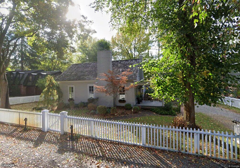
26081 Carol Ave Franklin, MI 48025
Estimated Value: $596,664 - $839,000
3
Beds
2
Baths
2,287
Sq Ft
$323/Sq Ft
Est. Value
About This Home
This home is located at 26081 Carol Ave, Franklin, MI 48025 and is currently estimated at $737,666, approximately $322 per square foot. 26081 Carol Ave is a home located in Oakland County with nearby schools including Wylie E. Groves High School, West Maple Elementary School, and Berkshire Middle School.
Ownership History
Date
Name
Owned For
Owner Type
Purchase Details
Closed on
Feb 8, 2013
Sold by
Molnar Imre J and Molnar Felicia Eisenberg
Bought by
Molnar Felicia E and Molnar Family Living Trust
Current Estimated Value
Purchase Details
Closed on
Oct 10, 2001
Sold by
Koltonow
Bought by
Molnar Imre J
Home Financials for this Owner
Home Financials are based on the most recent Mortgage that was taken out on this home.
Original Mortgage
$403,200
Outstanding Balance
$155,866
Interest Rate
6.72%
Estimated Equity
$581,800
Create a Home Valuation Report for This Property
The Home Valuation Report is an in-depth analysis detailing your home's value as well as a comparison with similar homes in the area
Home Values in the Area
Average Home Value in this Area
Purchase History
| Date | Buyer | Sale Price | Title Company |
|---|---|---|---|
| Molnar Felicia E | -- | None Available | |
| Molnar Imre J | -- | -- |
Source: Public Records
Mortgage History
| Date | Status | Borrower | Loan Amount |
|---|---|---|---|
| Open | Molnar Imre J | $403,200 |
Source: Public Records
Tax History Compared to Growth
Tax History
| Year | Tax Paid | Tax Assessment Tax Assessment Total Assessment is a certain percentage of the fair market value that is determined by local assessors to be the total taxable value of land and additions on the property. | Land | Improvement |
|---|---|---|---|---|
| 2024 | $7,040 | $271,410 | $0 | $0 |
| 2023 | $6,675 | $258,110 | $0 | $0 |
| 2022 | $7,224 | $278,430 | $0 | $0 |
| 2021 | $7,194 | $236,970 | $0 | $0 |
| 2020 | $6,139 | $238,220 | $0 | $0 |
| 2019 | $5,593 | $252,180 | $0 | $0 |
| 2018 | $7,249 | $253,390 | $0 | $0 |
| 2017 | $7,347 | $253,390 | $0 | $0 |
| 2016 | $6,783 | $244,170 | $0 | $0 |
| 2015 | -- | $224,610 | $0 | $0 |
| 2014 | -- | $197,160 | $0 | $0 |
| 2011 | -- | $183,370 | $0 | $0 |
Source: Public Records
Map
Nearby Homes
- 32696 Ravine Dr
- 25635 River Dr
- 26565 Scenic Hwy
- 25690 W 14 Mile Rd
- 26075 Woodlore Rd
- 26377 Willowgreen Dr
- 32890 Whatley Rd
- 4647 Private Lake Dr
- 25325 Devon Ln
- 4428 Old Trinity Ct
- 31050 Briarcliff Rd
- 25265 Canterbury Rd
- 27170 W 14 Mile Rd
- 32620 Inkster Rd
- 7371 Lindenmere Dr
- 7100 Wing Lake Rd
- 31145 Woodside Dr
- 24459 Bloomington Ct
- 6940 Castle Dr
- 6940 Wing Lake Rd
- 26065 Carol Ave
- 26103 Carol Ave
- 26041 Carol Ave
- 26070 Carol Ave
- 26086 Carol Ave
- 26058 Carol Ave
- 26175 Carol Ave
- 26110 Carol Ave
- 26020 Carol Ave
- 26025 Carol Ave
- 26071 German Mill Rd
- 26059 German Mill Rd
- 26023 German Mill Rd
- 26200 Carol Ave
- 26091 German Mill Rd
- 26005 Carol Ave
- 32334 Franklin Rd Unit Bldg-Unit
- 32334 Franklin Rd
- 32350 Franklin Rd
- 26109 German Mill Rd