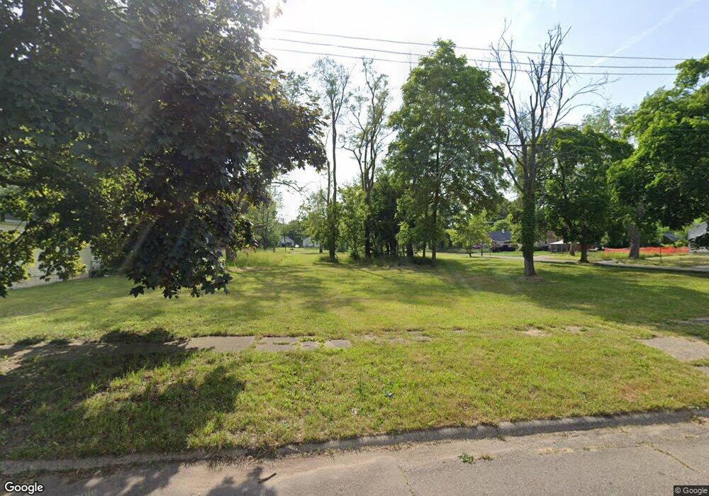
2609 Burns St Flint, MI 48506
Eastside NeighborhoodEstimated Value: $92,000 - $182,000
2
Beds
1
Bath
845
Sq Ft
$162/Sq Ft
Est. Value
About This Home
This home is located at 2609 Burns St, Flint, MI 48506 and is currently estimated at $137,000, approximately $162 per square foot. 2609 Burns St is a home located in Genesee County with nearby schools including Potter School, Richfield Public School Academy, and Flint Cultural Center Academy.
Ownership History
Date
Name
Owned For
Owner Type
Purchase Details
Closed on
Dec 20, 2016
Sold by
Cherry Deborah L
Bought by
Genesee County Land Bank
Current Estimated Value
Purchase Details
Closed on
Dec 12, 2010
Sold by
Templeton Benjamin
Bought by
Cook Shannon
Purchase Details
Closed on
Jan 13, 2009
Sold by
Federal National Mortgage Association
Bought by
Templeton Benjamin
Purchase Details
Closed on
Jul 15, 2008
Sold by
Indymac Bank Fsb
Bought by
Federal National Mortgage Association
Purchase Details
Closed on
Jun 6, 2008
Sold by
Haden Richard R and Haden Kimberly
Bought by
Indymac Bank Fsb
Create a Home Valuation Report for This Property
The Home Valuation Report is an in-depth analysis detailing your home's value as well as a comparison with similar homes in the area
Home Values in the Area
Average Home Value in this Area
Purchase History
| Date | Buyer | Sale Price | Title Company |
|---|---|---|---|
| Genesee County Land Bank | -- | None Available | |
| Cook Shannon | -- | None Available | |
| Templeton Benjamin | $3,600 | Warranty Title Agency Llc | |
| Federal National Mortgage Association | -- | None Available | |
| Indymac Bank Fsb | $31,936 | None Available |
Source: Public Records
Tax History Compared to Growth
Tax History
| Year | Tax Paid | Tax Assessment Tax Assessment Total Assessment is a certain percentage of the fair market value that is determined by local assessors to be the total taxable value of land and additions on the property. | Land | Improvement |
|---|---|---|---|---|
| 2025 | -- | $0 | $0 | $0 |
| 2024 | -- | $0 | $0 | $0 |
| 2023 | -- | $0 | $0 | $0 |
| 2022 | $0 | $0 | $0 | $0 |
| 2021 | $0 | $0 | $0 | $0 |
| 2020 | $0 | $0 | $0 | $0 |
| 2019 | $339 | $0 | $0 | $0 |
| 2018 | $221 | $0 | $0 | $0 |
| 2017 | $221 | $0 | $0 | $0 |
| 2016 | $339 | $0 | $0 | $0 |
| 2015 | $0 | $0 | $0 | $0 |
| 2014 | -- | $0 | $0 | $0 |
| 2012 | -- | $7,800 | $0 | $0 |
Source: Public Records
Map
Nearby Homes
- 2506 Arlington Ave
- 2225 Arlington Ave
- 2426 Hoff St
- 1721 New York Ave
- 1814 Mabel Ave
- 2211 Torrance St
- 1805 Bennett Ave
- 1733 Oklahoma Ave
- 1629 New York Ave
- 1622 New York Ave
- 1805 Montana Ave
- 1622 Arlington Ave
- 1623 Montana Ave
- 2719 Branch Rd
- 1513 Jane Ave
- 1510 N Vernon Ave
- 1454 Delaware Ave
- 1529 Broadway Blvd
- 1449 New York Ave
- 1518 Leith St
- 2613 Burns St
- 2605 Burns St
- 2601 Burns St
- 2608 N Vernon Ave
- 2604 N Vernon Ave
- 2600 N Vernon Ave
- 2513 Burns St
- 2518 N Vernon Ave
- 2217 Delaware Ave
- 2213 Delaware Ave
- 2221 Delaware Ave
- 2209 Delaware Ave
- 2512 N Vernon Ave
- 2509 Burns St
- 2301 Delaware Ave
- 2205 Delaware Ave
- 2305 Delaware Ave
- 2510 N Vernon Ave
- 2505 Burns St
- 2123 Delaware Ave