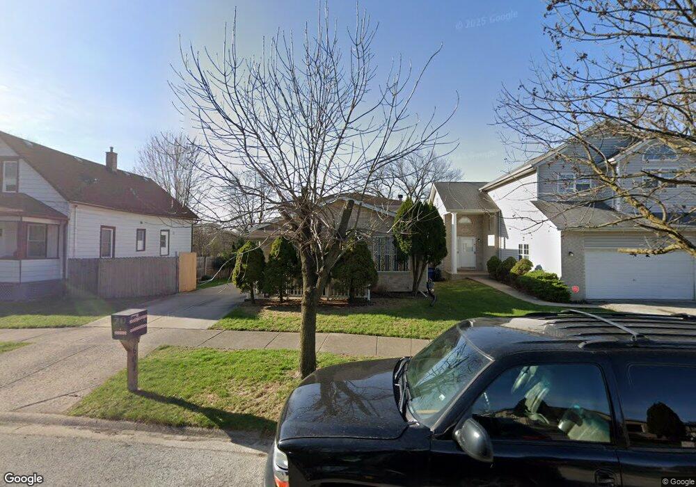
2609 Grove St Blue Island, IL 60406
Estimated Value: $253,927 - $284,000
2
Beds
2
Baths
1,054
Sq Ft
$253/Sq Ft
Est. Value
About This Home
This home is located at 2609 Grove St, Blue Island, IL 60406 and is currently estimated at $266,232, approximately $252 per square foot. 2609 Grove St is a home located in Cook County with nearby schools including Whittier Elementary School, Lincoln Elementary School, and Everett F Kerr Middle School.
Ownership History
Date
Name
Owned For
Owner Type
Purchase Details
Closed on
Oct 6, 2003
Sold by
Lyson John J and Lyson Debra J
Bought by
Luna Onecimo B and Luna Francisca
Current Estimated Value
Purchase Details
Closed on
Jan 24, 1997
Sold by
Oxford Bank & Trust
Bought by
Lyson John J and Lyson Debra Jean
Home Financials for this Owner
Home Financials are based on the most recent Mortgage that was taken out on this home.
Original Mortgage
$134,300
Interest Rate
7.66%
Create a Home Valuation Report for This Property
The Home Valuation Report is an in-depth analysis detailing your home's value as well as a comparison with similar homes in the area
Home Values in the Area
Average Home Value in this Area
Purchase History
| Date | Buyer | Sale Price | Title Company |
|---|---|---|---|
| Luna Onecimo B | $175,000 | Ticor Title | |
| Lyson John J | $120,000 | -- |
Source: Public Records
Mortgage History
| Date | Status | Borrower | Loan Amount |
|---|---|---|---|
| Previous Owner | Lyson John J | $134,300 |
Source: Public Records
Tax History Compared to Growth
Tax History
| Year | Tax Paid | Tax Assessment Tax Assessment Total Assessment is a certain percentage of the fair market value that is determined by local assessors to be the total taxable value of land and additions on the property. | Land | Improvement |
|---|---|---|---|---|
| 2024 | $6,242 | $22,000 | $2,934 | $19,066 |
| 2023 | $4,650 | $22,000 | $2,934 | $19,066 |
| 2022 | $4,650 | $15,896 | $2,567 | $13,329 |
| 2021 | $4,458 | $15,895 | $2,567 | $13,328 |
| 2020 | $3,986 | $15,895 | $2,567 | $13,328 |
| 2019 | $4,533 | $19,962 | $2,383 | $17,579 |
| 2018 | $4,340 | $19,962 | $2,383 | $17,579 |
| 2017 | $8,705 | $19,962 | $2,383 | $17,579 |
| 2016 | $5,757 | $16,886 | $2,017 | $14,869 |
| 2015 | $6,338 | $16,886 | $2,017 | $14,869 |
| 2014 | $6,241 | $16,886 | $2,017 | $14,869 |
| 2013 | $6,104 | $17,725 | $2,017 | $15,708 |
Source: Public Records
Map
Nearby Homes
- 2537 Grove St
- 2620 Vermont St
- 13221 Western Ave
- 2629 Broadway St
- 13430 Ann St
- 2745 Desplaines St
- 2824 Union St
- 2336 Union St Unit 3
- 2336 Union St Unit 4
- 13134 Sacramento Ave
- 13346 Irving Ave
- 2335 Walnut St
- 12807 Mozart St
- 2441 Prairie St
- 2042 Grove St
- 2060 Broadway St
- 12609 Maple Ave
- 2123 135th Place
- 12602 Artesian Ave
- 2059 Market St